A&E Television
History.com: How Far Did Ancient Rome Spread?
Legend has it that Romulus and Remus -- twin brothers who were also demi-gods -- founded Rome on the River Tiber in 753 B.C. Over the next eight and a half centuries, it grew from a small town of pig farmers into a vast empire that...
Curated OER
Latitude: The Art and Science of 15th Century Navigation
This is a great site to read about how navigation began in Europe and what tools were used. Make sure to read the segments on coastal navigation, maps, and ocean currents.
Curated OER
How Accurately Did They Know the World in 1516?
This is a great site to read about how navigation began in Europe and what tools were used. Make sure to read the segments on coastal navigation, maps, and ocean currents.
Other
Liechtenstein
This resource has very comprehensive map of Liechtenstein. It also has a brief history of the country.
Other
Andorra
This is a map of Andorra that includes all of the major cities and rivers. Also provides a history of Andorra's government.
Boise State University
Boise State: World at War: Set the Stage
This 1815 map of Europe is a result of the Congress of Vienna creating a balance of power between the five most powerful countries in Europe. The countries competed in nearly everything, which made it almost inevitable that war would come.
Curated OER
Map of Poland
Information about the history of Poland includes details about the De-Stalinization of Poland and the regime of First Secretary Wladyslaw Gomulka.
Friesian School
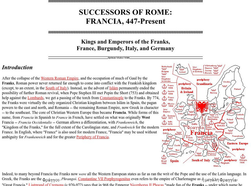
Friesian School: Successors of Rome: Francia, 447 Present
The Friesian School gives a description of the Kings and Emperors of France and the Frank influence in northern Europe. There are also detailed maps.
University of Florida
Baldwin Library: The Eclectic Elementary Geography by American Book Company
This is an online photocopy of the original text of the children's book The Eclectic Elementary Geography by American Book Company (1883), an elementary geography textbook including maps, information about areas and people of the United...
Other
Kingsnake: Vipera Aspis
Distributed throughout Europe, the Vipera aspis, is a venomous snake that preys mostly on rodents and lizards. Distribution map of Italy, pictures, and dimensions are included.
United Nations
Unesco: Longobards in Italy: Places of Power (568 774 Ad)
The Longoboards buildings reflect the accomplishments of the Lombards, a Germanic culture originally from northern Europe. These early medieval buildings are located across the Italian Peninsula and date from the 6th to 8th centuries....
University of Iowa
University of Iowa Libraries: The Atlas of Early Printing
View this interactive reference tool to learn about the history of printing in Europe during the fifteenth century. Features a map that displays layers of information that can be viewed together or individually along with a timeline of...
The History Cat
The History Cat: Treaty of Versailles: Peace Returns
Describes what happened at the end of World War I - the celebrations and the unnecessary final battles - as the Big Four (France, Britain, the United States, and Italy) sat down to begin negotiations for the Treaty of Versailles....
US Holocaust Memorial Museum
U.s. Holocaust Memorial Museum: German Soviet Pact
Read about the agreement between the Germans and Soviets that contained a secret section that provided for the partition of Poland and other parts of Eastern Europe between the two countries. Includes photographs, a map, and archival...
Curated OER
National Geographic for Kids: Find People and Places: Russia
Welcome to Russia! Follow this interactive overview of the country's history, geography, people, government, nature, and more. A map and video are included.
Other
K 3 Learning pages.com: Web Resources: Middle Ages
Discover the Middle Ages through this comprehensive site. Offers lesson plans, art, projects, facts, research reports and more.
Nations Online Project
Nations Online: Denmark
Comprehensive reference tool that takes you on a virtual trip to the Kingdom of Denmark. Background overview is given on its art, culture, people, environment, geography, history, economy, and government. There are numerous links...
Nations Online Project
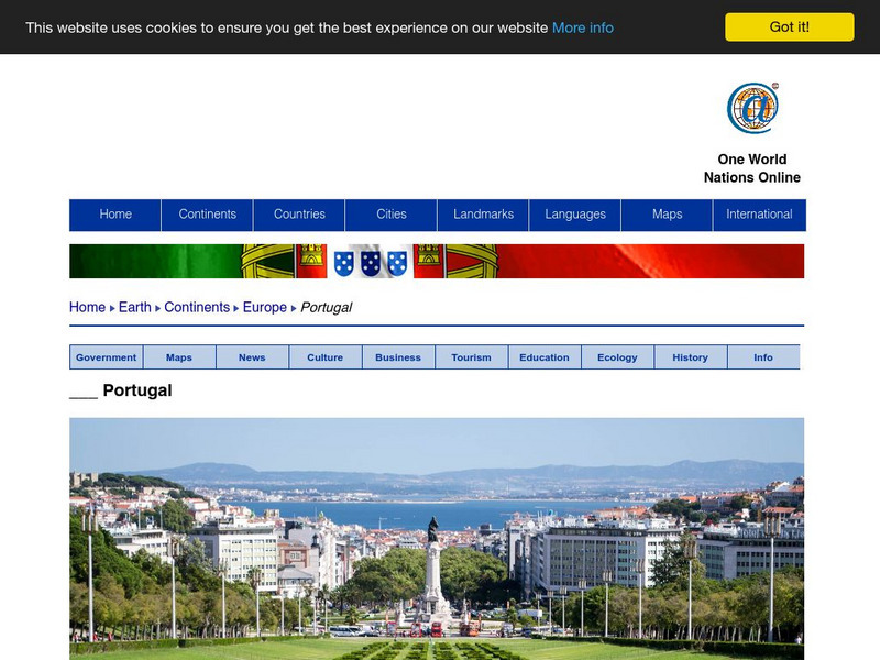
Nations Online: Portugal
Excellent online resource that provides a country profile of the Southwestern European nation of Portugal, background details, and numerous links to in-depth information on the nation's culture, history, geography, economy, environment,...
Nations Online Project
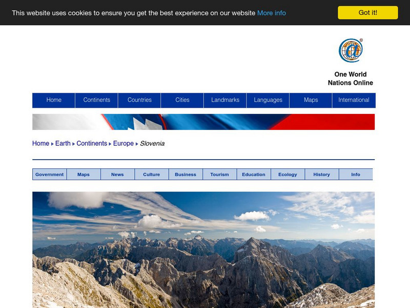
Nations Online: Slovenia
Offers a travel guide and country profile of the European nation of Slovenia including a broad overview and numerous links to comprehensive information on the nation's culture, history, geography, economy, environment, population, news,...
Nations Online Project
Nations Online: Poland
Excellent online resource that provides a country profile of the European nation of Poland, background details, and numerous links to in- depth information on the nation's culture, history, geography, economy, environment, tourism,...
Nations Online Project
Nations Online: Italy
Offers a country profile and travel guide to beautiful Italy, background details, and numerous links to extensive information on the nation's culture, history, geography, economy, environment, population, news, government, and much more.
Curated OER
Map 40: Southern Approaches to Europe
HIghlights the military strategy of the United States during World War II in fighting Germany and Italy.
Curated OER
Map 41: Northern Europe
HIghlights the military strategy of the United States during World War II in fighting Germany and Italy.
Other
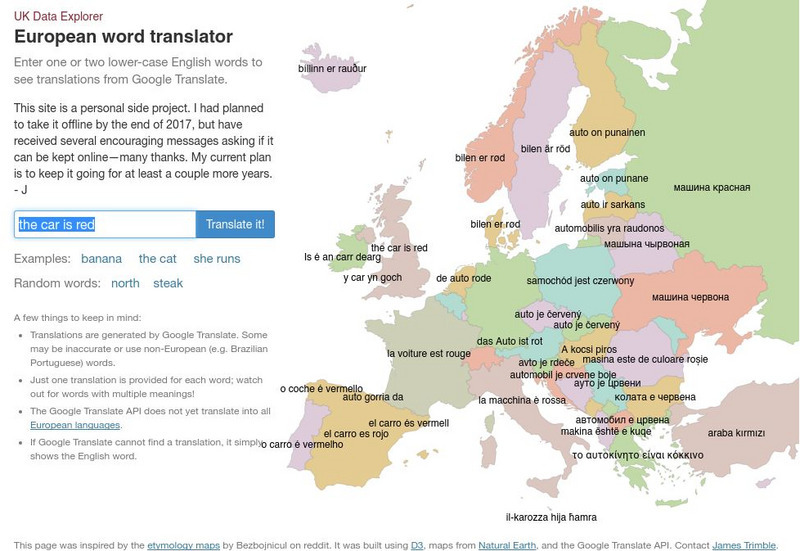
Uk Data Explorer: European Word Translator
Enter one or two lower-case English words to see translations from Google Translate. The translations are superimposed onto the related countries in a map of Europe.
Other popular searches
- Maps of Europe
- Blank Maps of Europe
- Outline Maps of Europe
- Geography Maps of Europe
- Maps of Europe 1914
- Maps of Europe Political
- Maps of Europe Ppt
- Maps of Europe Pot
- Maps of Europe 1919
- Maps of Eastern Europe
- Maps of Medieval Europe
- Western Europe Maps


