Curated OER
Perry Castaneda Map Collection: Latin America Map
This political map of Latin America and South America is in color and features major cities.
Other
Ifip: Information and Communications Technologies in Latin America [Pdf]
The content of a slideshow presentation on the state of computer technology integration in Latin American countries in the public and private sectors. Charts display data relating income levels with computer ownership, mobile phone use,...
Curated OER
Etc: Colombia, Venezuela, Ecuador, Peru, & Bolivia With Western Brazil 1914 1919
Map of western part of South America in 1919.
Other
History of Simon Bolivar (1783 1830)
Easy to understand biography on Simon Bolivar, "one of South America's greatest generals".
Other
Spanish Abroad, Inc.
This resource provides information about Spanish language study abroad programs throughout Latin America and Spain.
Other
Organization of American States: Simon Bolivar
An informative exploration of the life of Simon Bolivar, the man known in South America as the "Liberator," because he led revolutions against Spanish colonial overlords in Venezuela, Ecuador, Peru, and Colombia.
Eduweb
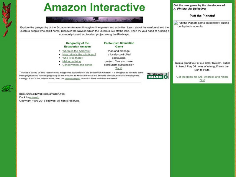
Eduweb: Amazon Interactive
Games and activities help students explore the Ecuadorian Amazon. Learn about the rainforest and the Quichua people who call it home, and experiment with running a community-based ecotourism project along the Rio Napo.
Other
El Financiero
El Financiero is a national economic and financial newspaper published in Quito, Ecuador. Written in Spanish.
Smithsonian Institution
National Museum of Natural History: Expedition to Galapagos
Accompany scientists on an exciting trip to the Galapagos as they make a film on the islands for IMAX. Featured are a fantastic photo journal and video footage.
Google
Google Maps: Galapagos Islands
Explore isolated volcanic islands. Charles Darwin's observations and collections of the Galapagos wildlife in 1835 contributed to his theory of evolution by natural selection. [7:08]
Curated OER
Etc: Maps Etc: Colombia, Ecuador, Venezuela and the Guianas, 1906
A map from 1906 showing the borders of Columbia, Ecuador, Venezuela, and the Guianas at the time. The map shows capitals, major cities, towns, ports, railroads, rivers, terrain and coastal features of the region, and portions of Panama,...
Curated OER
Galapagos, the Andes and Amazon of Ecuador
Travel with Evan on his adventure to South America. Through his journal, experience the Amazon Rainforest, the Andes Mountains, and the Galapagos Islands. Click on the bottom links to follow the further adventures of this family in...
Curated OER
Educational Technology Clearinghouse: Maps Etc: Early Spanish Map of Peru, 1774
A facsimile of an early Spanish map of Peru and northwest South America, from the Paris (1774) edition of Zarate. The map is in French, and the map coverage extends from Panama to the Paria River delta (Orinoco) of Venezuela in the north...
Study Languages
Study Spanish: La Llama
This site has an explanation in Spanish and English with a few comprehension questions about the llama in the Andes area of South America. Additional links are provided for more information on this unique animal. Great reading selection...
Other
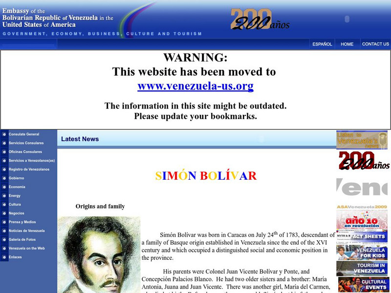
Embassy of Venezuela in Us: Simon Bolivar
The Embassy of Venezuela in the United States presents a detailed biographical essay on Simon Bolivar, from his early days and family life to his military days and role as a liberator.
Curated OER
Etc: Maps Etc: The Peaks and Volcanoes Which Form the Andes, 1873
An orographic sketch map from 1873 of the Andes mountain chains. The map divides the system into the Andes of Columbia and Ecuador, Andes of Bolivia and Peru, Andes of Chile, and Andes of Patagonia. The map is keyed to show the prominent...
Curated OER
Organization of American States:simon Bolivar
An informative exploration of the life of Simon Bolivar, the man known in South America as the "Liberator," because he led revolutions against Spanish colonial overlords in Venezuela, Ecuador, Peru, and Colombia.


