Other
Worldpress.org: Map of South America
This interactive map lets you click on the name of a country in South America to get a more detailed view and facts about its geography, economy, media, and demographics.
Other
All You Can Read: Ecuador News
This resource provides links to online newspapers for Ecuador, South America.
Geographyiq
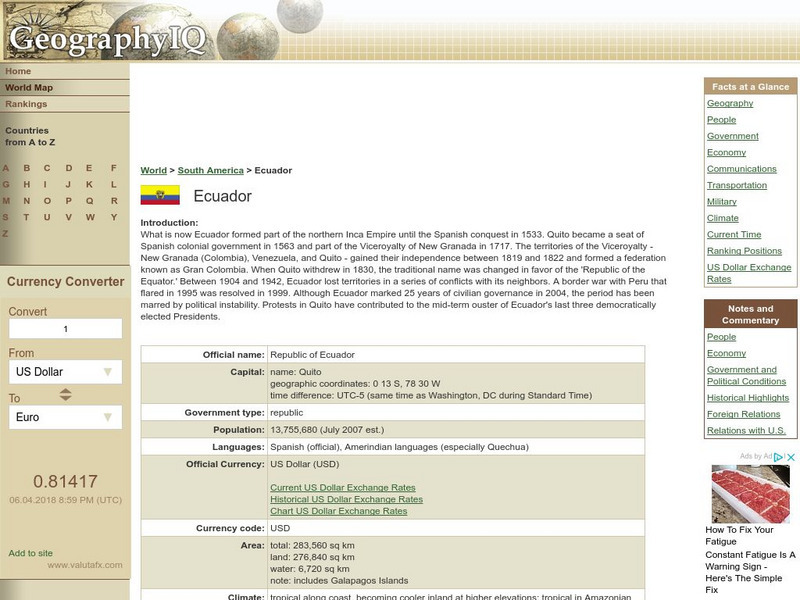
Geography Iq: Ecuador
A detailed and comprehensive resource for finding much information on the South American republic of Ecuador. Organized by quick facts in chart form or longer commentaries.
Central Intelligence Agency
Cia: World Factbook: Ecuador
The CIA World Factbook provides an extensive page of information on Ecuador, a neighbor to Colombia. Includes information on this country's economy, climate, geographical location, government, size, and much more.
Country Studies US
Country Studies: Ecuador
A detailed study of the history, sociology, economics, and politics of Ecuador from the Library of Congress.
eTravel Photos
Travel Photos From Ecuador, South America
A beautiful photo journal taken in Ecuador in 1998.
University of Florida
Baldwin Library: The Boy Travellers: South America by Thomas W. Knox
This is an online photocopy of the original text of the children's book The Boy Travellers: South America by Thomas W. Knox (c1885). A fictional account of the adventures of two youths in a journey through Ecuador, Peru, Bolivia, Brazil,...
Adventure Learning Foundation
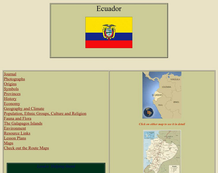
Adventure Learning Foundation: Ecuador
Comprehensive reference tool with an abundance of country specific information about the South American country of Ecuador. Content covered includes photos, symbols, provinces, history, economy, geography, climate, population, culture,...
Library of Congress
Loc: Country Study: Ecuador
A report on Ecuador from the Library of Congress "describing and analyzing its political, economic, social, and national security systems and institutions, and examining the interrelationships of those systems and the ways they are...
Other
News Central: South America
A collection of links to newspapers from various countries in South America. Most are in the native language.
Other
Ecuador Pictures
A pictorial photo gallery of Ecuador that demonstrates the beauty of this small South American country. View animals, landscapes, towns, monuments, parks, the Rainforest, waterfalls, and so much more.
Nations Online Project
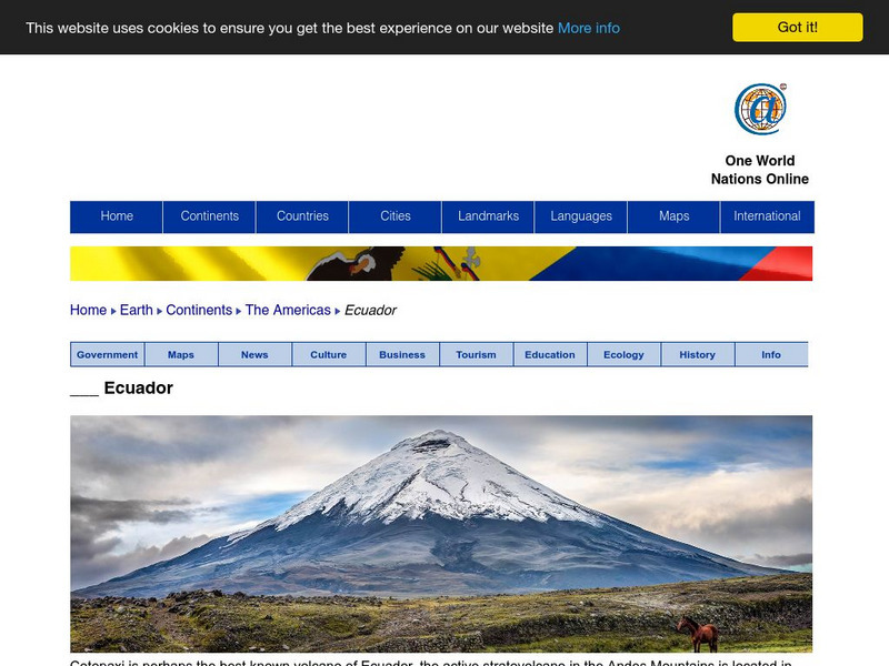
Nations Online: Ecuador
Offers a virtual guide and country profile of Ecuador, background overview, and numerous links to comprehensive information on the country's culture, history, geography, economy, environment, population, news, government, and much more.
AllRefer
All Refer Reference: Ecuador: Introduction & Country Profile
Good reference source for information about the country of Ecuador. Significant facts are included about geography, economy, history, government, and the people. Take a look at the map and the flag.
National Geographic Kids
National Geographic Kids: Ecuador
Click-through facts-and-photo file about Ecuador's geography, nature, history, people and culture, and government. Includes a map of the country that pinpoints its South American location.
Other
Ecuador Explorer: People and Culture
A detailed look at Ecuador's population, religion, language, and indigenous culture.
Curated OER
Educational Technology Clearinghouse: Maps Etc: Northern South America, 1920
A map from 1920 of the northern part of South America from the Caribbean Sea south the Rio de Janeiro. The map shows the political boundaries at the time for Panama, Columbia, Venezuela, British, Dutch, and French Guiana, Ecuador, Peru,...
Curated OER
Etc: Maps Etc: Northern Part of South America, 1920
A map from 1920 of the northern part of South America from the Caribbean Sea south the Rio de Janeiro. The map shows the political boundaries at the time for Panama, Columbia, Venezuela, British, Dutch, and French Guiana, Ecuador, Peru,...
Curated OER
Educational Technology Clearinghouse: Maps Etc: Northern South America, 1920
A map from 1920 showing the northern part of South America, including the national borders at the time for Columbia, Venezuela, the Guianas, Ecuador, Peru, Bolivia, and the northern portions of Brazil, Argentina, and Paraguay. The map...
Curated OER
Educational Technology Clearinghouse: Maps Etc: Northwestern South America, 1861
A map of northwestern South America from the French scientific explorations of the area in 1861. The map shows the Pacific coastal region of New Granada (Columbia), Ecuador, Peru, and the northern portion of Bolivia near Lake Titicaca....
Curated OER
Educational Technology Clearinghouse: Maps Etc: Northwestern South America, 1916
A physical and political map of northwestern South America in 1916 showing the boundaries for Columbia, Venezuela, the Guianas, Ecuador, Peru, and Bolivia at the time. The map uses color-contouring to show elevations from sea level to...
Curated OER
Educational Technology Clearinghouse: Maps Etc: South America, 1903
A map from 1903 showing the national boundaries of South America at the time (note the boundaries between Peru and Bolivia, and that Columbia, Ecuador, and Panama are shown as one country). The map shows capitals and major cities, towns,...
Curated OER
Educational Technology Clearinghouse: Maps Etc: South America, 1901
A map from 1901 of South America showing the political boundaries at the time, including Columbia (extending to Costa Rica), Venezuela, Guiana (British, Dutch, and French), Ecuador, Peru, Brazil, Bolivia, Chile, Argentine Republic, and...
Study Languages
Study Spanish: El Ecuador
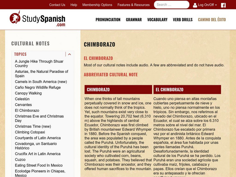
This site has an explanation in Spanish and English with a few comprehension questions about Ecuador's Mt.Chimborazo. An additional link provides more information on the indigenous people of Ecuador. Great reading selection for beginning...
Curated OER
Map of Ecuador
The BBC gives information about the Latin American country of Ecuador with details on geography, culture, its leaders, and its news media. Updated in April, 2005. Check out the link to the timeline.


