Google
Google Maps: Galapagos Islands
Explore isolated volcanic islands. Charles Darwin's observations and collections of the Galapagos wildlife in 1835 contributed to his theory of evolution by natural selection. [7:08]
Countries and Their Cultures
Countries and Their Cultures: Multicultural America: Ecuadoran Americans
Provides an overview of the traditional culture and lifestyle of Ecuadoran Americans. (Note: Content is not the most current.)
Other
Quito Tourist Portal
Discover Quito's historical with the city's official tourism. This website is a portal to history, cultural heritage, natural riches, and diverse and intriguing attractions.
Other
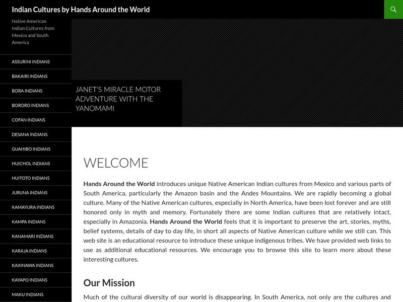
Native American Indian Cultures
Extensive listing of the Native American Indian Cultures from Mexico and various parts of South America. Click on an Indian culture and obtain valuable information about each unique tribe.
Other
Ifip: Information and Communications Technologies in Latin America [Pdf]
The content of a slideshow presentation on the state of computer technology integration in Latin American countries in the public and private sectors. Charts display data relating income levels with computer ownership, mobile phone use,...
Curated OER
Etc: Colombia, Venezuela, Ecuador, Peru, & Bolivia With Western Brazil 1914 1919
Map of western part of South America in 1919.
Curated OER
Follow This Link to Evan's Ecuador...
Take a yacht to the Galapagos Islands, at least virtually. This site is a travel guide to Galapagos tours and offers an introduction, map, trip planinng tips and guided tours to all of the islands.
Curated OER
Miguel Andrango
Indigenous artisan, Miguel Andrango, is described as the "master of the loom." Miguel, and others like him in the Andean highlands of northern Ecuador create traditional weavings with the dying method of what is called a backstrap loom....
Curated OER
Miguel Andrango
Indigenous artisan, Miguel Andrango, is described as the "master of the loom." Miguel, and others like him in the Andean highlands of northern Ecuador create traditional weavings with the dying method of what is called a backstrap loom....
InterKnowledge Corp.
Geographia: Latin America
This Geography portal to Latin America features maps, photos, and drawings relating to each country. Click on desired country icon to see related pages.
Wikimedia
Wikipedia: Latin America
Article on Latin America that provides a great overview of the region. Discussions include history, religion, culture, links to information about each of the countries, and more.
Read Works
Read Works: Aztecs, Incas, and Mayans the Land of the Four Quarters
[Free Registration/Login Required] This nonfiction passage describes the Inca Empire and shares a theory about how the civilization disappeared. This passage reinforces essential reading comprehension skills. Opportunities for vocabulary...
Discovery Education
Discovery Education: 9 12 Teacher Resources
A plethora of resources, science teachers can utilize this education center for academically aligned lesson plans and video clips for middle and high school students.
Other
Worldpress.org: Map of South America
This interactive map lets you click on the name of a country in South America to get a more detailed view and facts about its geography, economy, media, and demographics.
Other
History of Simon Bolivar (1783 1830)
Easy to understand biography on Simon Bolivar, "one of South America's greatest generals".
PBS
Language Crossing: Economy of Peru
Concise overview of the economy of Peru including natural resources, important cities, and economic progress.
Curated OER
Educational Technology Clearinghouse: Maps Etc: South America, 1903
A map from 1903 showing the national boundaries of South America at the time (note the boundaries between Peru and Bolivia, and that Columbia, Ecuador, and Panama are shown as one country). The map shows capitals and major cities, towns,...
Curated OER
Educational Technology Clearinghouse: Maps Etc: South America, 1901
A map from 1901 of South America showing the political boundaries at the time, including Columbia (extending to Costa Rica), Venezuela, Guiana (British, Dutch, and French), Ecuador, Peru, Brazil, Bolivia, Chile, Argentine Republic, and...
Curated OER
Educational Technology Clearinghouse: Maps Etc: Northern South America, 1920
A map from 1920 showing the northern part of South America, including the national borders at the time for Columbia, Venezuela, the Guianas, Ecuador, Peru, Bolivia, and the northern portions of Brazil, Argentina, and Paraguay. The map...
Curated OER
Educational Technology Clearinghouse: Maps Etc: Northern South America, 1920
A map from 1920 of the northern part of South America from the Caribbean Sea south the Rio de Janeiro. The map shows the political boundaries at the time for Panama, Columbia, Venezuela, British, Dutch, and French Guiana, Ecuador, Peru,...
Curated OER
Educational Technology Clearinghouse: Maps Etc: Early Spanish Map of Peru, 1774
A facsimile of an early Spanish map of Peru and northwest South America, from the Paris (1774) edition of Zarate. The map is in French, and the map coverage extends from Panama to the Paria River delta (Orinoco) of Venezuela in the north...
Curated OER
Educational Technology Clearinghouse: Maps Etc: Northwestern South America, 1861
A map of northwestern South America from the French scientific explorations of the area in 1861. The map shows the Pacific coastal region of New Granada (Columbia), Ecuador, Peru, and the northern portion of Bolivia near Lake Titicaca....
Curated OER
Educational Technology Clearinghouse: Maps Etc: Northwestern South America, 1916
A physical and political map of northwestern South America in 1916 showing the boundaries for Columbia, Venezuela, the Guianas, Ecuador, Peru, and Bolivia at the time. The map uses color-contouring to show elevations from sea level to...
Curated OER
Etc: Maps Etc: Northern Part of South America, 1920
A map from 1920 of the northern part of South America from the Caribbean Sea south the Rio de Janeiro. The map shows the political boundaries at the time for Panama, Columbia, Venezuela, British, Dutch, and French Guiana, Ecuador, Peru,...
Other popular searches
- Ecuadorian Rainforest
- Ecuador Rain Forest
- Ecuador Rainforest
- Ecuadorian Rain Forest
- Cultures Ecuador
- Ecuador Homework
- Ecuador Dances
- History of Ecuador
- Ecuador ,.South America
- Chachi People of Ecuador
- Ecuador Folktales
- Ecuador Lesson Plan


