Hi, what do you want to do?
Curated OER
Landforms All Around
Students create a "Landform Dictionary". They develop an overlay map and participate in hands-on activities to identify the key characteristics of landforms. They discuss the plant and animal life of these areas. Handouts for the lessons...
Curated OER
Coming of Age During Japanese Occupation: Richard E. Kim's Lost Names: Scenes from a Korean Boyhood
Explore the implications of the Japanese occupation of Korea during World War II. Learners read Lost Names: Scenes from a Korean Boyhood, participate in classroom discussions about the novel and keep journals in which they respond to...
Curated OER
Conditions in And Connections To Indonesia
Eleventh graders research an animal and its habitat, the conditions of that habitat and how its connections to the rest of the world are affecting that habitat.
Curated OER
"Tsunamis"
Students visit a PBS Website about tsunamis to consider their causes, effects and steps countries have taken to try to defend against them. They answer questions and create a brochure explaining tsunami facts and procedures to survive a...
Curated OER
The Lesson: Bio-fuels
Students explore the pros and cons of bio-fuel use. In this environmental stewardship lesson plan, students visit selected websites to discover what bio-fuels are and the effect they may have on the environment.
Curated OER
Population and Population Density
High schoolers read and interpret graphs. In this population lesson plan, students explore population and population density as they read several data graphs and respond to questions.
Curated OER
Japanese Modernization and Imperialism
Students examine the period in which Japan ended its isolationism with the rest of the world. Using the internet, they identify the reasons why Japan occupied and annexed Korea along with the country's reasons for going to war with...
Curated OER
Regions of South America
Students explore facts about South America in the four lessons of this unit. Booklets are created from the materials produced as the class delves into the topic.
Curated OER
The Roman Empire
Fourth graders identify the reasons behind the fall of the Roman Empire and describe the changes that occurred after the fall of the Roman Empire.
Columbia University
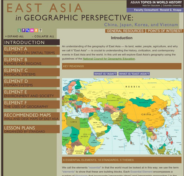
Columbia University: Asia for Educators: East Asia in Geographic Perspective
This teacher resource is devoted to teaching about the geographic history of East Asia. Includes standards information and links to related lesson plans. Also features a downloadable world map (PDF, requires Adobe Reader).
Columbia University
Columbia University: East Asia in Geographic Perspective: Standard 1
How to use maps and other geographic representations, tools, and technologies to acquire, process, and report information from a spatial perspective
Columbia University
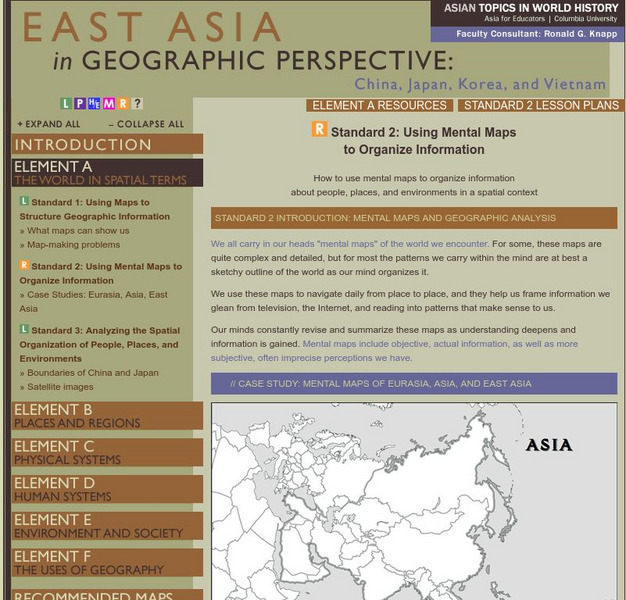
Columbia University: East Asia in Geographical Perspective
How to use mental maps to organize information about people, places, and environments in a spatial context
Central Intelligence Agency
Cia: World Factbook: Regional and World Maps
Maps of major areas of the world can be downloaded here. The maps have excellent detail and are in color.
National Geographic Kids
National Geographic Kids: Israel
Click-through facts-and-photo file about Israel's geography, nature, history, people and culture, and government. Includes a map of the country that pinpoints its Middle East location.
National Geographic Kids
National Geographic Kids: Iraq
Click-through facts-and-photo file about the geography, nature, history, people, culture, and government of Iraq. Includes a map of this Asian country that pinpoints its location in the Middle East.
Nations Online Project
Nations Online: Timor Leste
Features a travel guide and country profile of the Southeast Asian nation of Timor-Leste including a broad overview and numerous links to comprehensive information on the islands' culture, history, geography, economy, environment,...
Other
Harper College: North Africa/ Sw Asia Map Tutorial
Quiz yourself on the physical geography of Southwest Asia and North Africa by using this tutorial to Check your knowledge of landforms, bodies of water, and rivers in this area of the world.
National Geographic Kids
National Geographic Kids: Iran
Welcome to Iran! Follow this interactive overview of the country's history, geography, people, government, nature, and more. A map and video are included.
Columbia University
Asia for Educators: Outline Maps
The outline maps are designed to be used as transparencies that can be overlaid on an overhead projector to demonstrate the diversity of China's physical and cultural geography. Copies can be printed out and reproduced also for student...
Nations Online Project
Nations Online: Vietnam
Offers a virtual destination guide and profile of the south-east Asian nation of Vietnam, background details, and numerous links to key information on the nation's culture, history, geography, economy, environment, population, news,...
Nations Online Project
Nations Online: Malaysia
Thorough reference directory for finding information on the Asian country of Malaysia. Content includes background overview, a country profile, and numerous links to key information on this country's culture, history, geography, economy,...
Other
The Wonders of Eurasia on Kamchatka
"Kamchatka, a peninsula comparable in size to Japan, is washed by the Pacific Ocean and the Bering and Okhotskoe Seas." This site provides good geographical information about Eurasia with clickable links for maps and more related pages.


