Hi, what do you want to do?
ClassFlow
Class Flow: Landforms
[Free Registration/Login Required] This flipchart reviews basic landforms, which include highlands, lowlands, bodies of water, and riverways. In addition, examples and photographs are provided.
Quia
Quia: Geography World: Earth's Surface
Wonderful crossword puzzle containing clues about various landforms. After finishing the puzzle, a new puzzle will appear introducing some new clues.
National Geographic
National Geographic: Shaping the Tallest Peak on Earth
This lesson builds upon a National Geographic film covering George Mallory's effort to climb Mount Everest in 1924. It looks at the physical features of mountains, and the landform features of Mount Everest that present challenges to...
Indiana University
Indiana University Bloomington: Abc's of Indiana Geology 4 [Pdf]
One of four sets of 26 ABC cards that have definitions and descriptions of geologic terms and earth science concepts. This set looks at significant geological locations in Indiana.
Indiana University
Indiana University Bloomington: Abc's of Indiana Geology 3 [Pdf]
One of four sets of 26 ABC cards that have definitions and descriptions of geologic terms and earth science concepts.
Indiana University
Indiana University Bloomington: Abc's of Indiana Geology 2 [Pdf]
One of four sets of 26 ABC cards that have definitions and descriptions of geologic terms and earth science concepts.
Indiana University
Indiana University Bloomington: Abc's of Indiana Geology 1 [Pdf]
One of four sets of 26 ABC cards that have definitions and descriptions of geologic terms and earth science concepts.
NASA
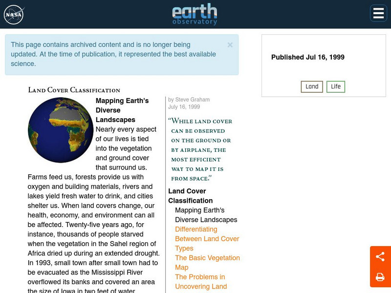
Nasa Earth Observatory: Land Cover Classification
Learn about the important resources our land offers us: food, water, oxygen, building materials, and more. Discover how scientists have been mapping land for years trying to prevent disasters and to collect environmental information.
American Geosciences Institute
American Geosciences Institute: Earth Science Week: Watch Out for Landslides
Students investigate how particle size and shape relate to the maximum slope angle the particles will maintain during a landslide.
Math Science Nucleus
Math Science Nucleus: Maps as Tools
A series of lessons in which students learn about landforms. Includes interpreting landforms, creating landforms, and information on Angel Island.
CK-12 Foundation
Ck 12: Earth Science: Erosion by Waves
[Free Registration/Login may be required to access all resource tools.] Describes erosion in landforms caused by waves.
CK-12 Foundation
Ck 12: Earth Science: Deposition by Groundwater
[Free Registration/Login may be required to access all resource tools.] How groundwater creates landforms.
Ducksters
Ducksters: Earth Science for Kids: Topography
Kids learn about the Earth science subject of topography including features such as landforms, elevation, latitude, longitude, and topographical maps.
Quia
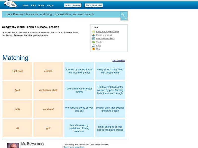
Quia: Geography World: Earth's Surface Matching Game
Match the vocabulary term with the definition to reinforce and practice your vocabulary terms. View the list of terms before beginning to become familiar with the words and improve your score. Users must enable JavaScript.
Quia
Quia: Geography World: Earth's Physical Features Games
This site contains matching, concentration, flash cards, and word search games from landform vocabulary. Excellent games which contain more than one version of each game to reinforce all vocabulary taught.
CK-12 Foundation
Ck 12: Earth Science: Landforms From Glacial Erosion and Deposition
[Free Registration/Login may be required to access all resource tools.] Describes the mostly massive features created by glacial erosion and deposition.
CK-12 Foundation
Ck 12: Earth Science: Landforms From Wind Erosion and Deposition
[Free Registration/Login may be required to access all resource tools.] How winds erode surfaces and form various terrain features.
CK-12 Foundation
Ck 12: Landforms From Erosion and Deposition by Gravity
[Free Registration/Login may be required to access all resource tools.] Indicates the factors that lead to landslides and other mass movements, what their characteristics are, and how to avoid them.
CK-12 Foundation
Ck 12: Magma Composition, Volcanic Landforms, Hot Springs, Geysers Study Guide
[Free Registration/Login may be required to access all resource tools.] Provides a brief overview of plate tectonic processes. Includes a labeled illustration, images, and a few questions to check understanding.
Scholastic
Scholastic: Study Jams! Science: Landforms, Rocks & Minerals: Sedimentary
A slideshow, a karaoke song to sing along to, and a short multiple-choice quiz on sedimentary rocks and how they are formed.
National Association of Geoscience Teachers
Quaternary Glacio Fluvial History of the Upper Midwest Using Anaglyph Stereo Maps
Students examine the anaglyph stereo map and use textures to generate a surficial geology map of the Upper Midwest. They can then interpret the textures in terms of landforms, geomorphic features, and earth-surface processes, as well as...
National Association of Geoscience Teachers
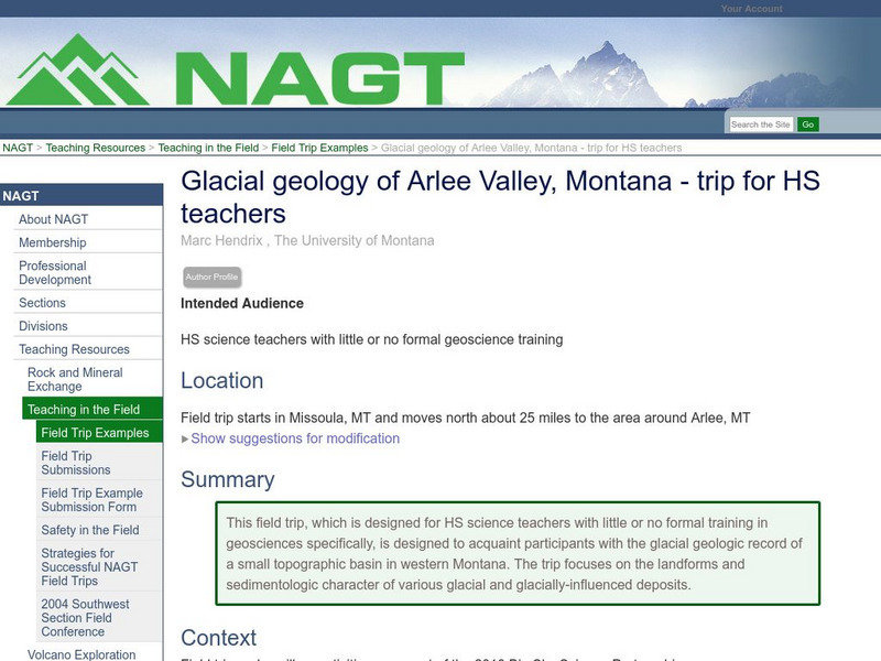
Nagt: Glacial Geology of Arlee Valley, Montana Trip for Hs Teachers
This field trip designed for HS science teachers with little or no formal training in geosciences, acquaints participants with the glacial geologic record of a small topographic basin in western Montana. The trip focuses on the landforms...
Science Education Resource Center at Carleton College
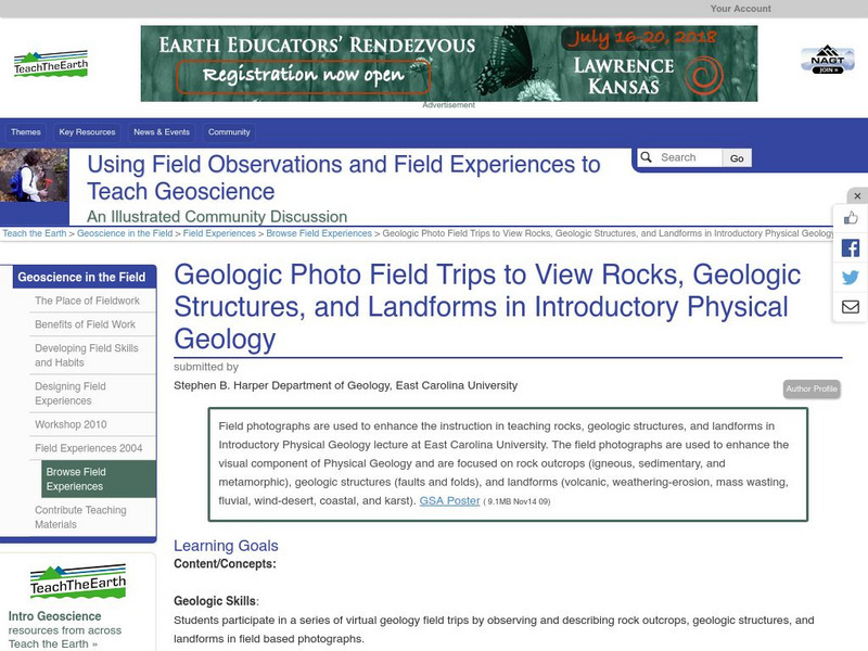
Serc: Geologic Photo Field Trips for Introductory Physical Geology
Students participate in a series of virtual geology field trips by observing and describing rock outcrops, geologic structures, and landforms in field based photographs.
Science Education Resource Center at Carleton College
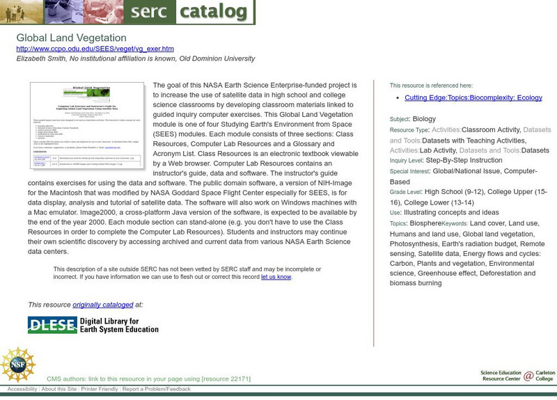
Serc: Global Land Vegetation
This Global Land Vegetation module is one of four Studying Earth's Environment from Space modules. It consists of three sections: class resources, computer lab resources, and a glossary and acronym List.
Other popular searches
- Pictures of Earths Landforms
- Earths Landforms Reading
- Earths Landforms in Us
- Earths Landforms Answers
- Introducing Earths Landforms
- Earths Landforms in u.s.
- Landforms on Earth's Surface



![Indiana University Bloomington: Abc's of Indiana Geology 4 [Pdf] Handout Indiana University Bloomington: Abc's of Indiana Geology 4 [Pdf] Handout](https://static.lp.lexp.cloud/images/attachment_defaults/resource/large/FPO-knovation.png)
