Hi, what do you want to do?
Curated OER
Forces in Earth
In this Earth's forces worksheet, students will review the characteristics of earthquakes, including types of faults. Students will interpret a seismograph read-out from an earthquake. Students will complete 10 fill in the blank...
Curated OER
Exploring Earthquakes in Space and Time Through the Internet and a Geographic Information System
Students examine the frequency and distribution of earthquake epicenters and compare these epicenters to the distribution of plate boundaries and cities.
Curated OER
Earthquake Depth
Students research and locate earthquake epicenters on a map using latitude and longitude. They determine if the depth of an earthquake has any relationship to the distance from a plate boundary.
Curated OER
Earthquake Waves
Fourth graders pour three cups of sand on the top of a plastic table near the edge. They tap the table lightly with the rubber mallet. When they tap the table lightly they see the sand ump into the air.
Curated OER
Roots of the Mariana Arc
Plumb the depths of the Submarine Ring of Fire and explore seismic waves with this instructional activity. Junior geologists simulate s-waves and p-waves, calculate their speeds, and then apply the data to discover the material that...
Curated OER
Seismic waves
Students discover the differences between P- and S-waves using a slinky. They see that when displacement occurs along a fault, the built up strain of energy is released in the form of seismic waves.
Curated OER
Mapping Meteorites
After reading an article, "Cameras Capture a 5-Second Fireball and Its Meteorite's Secrets," space science superstars use the triangulation method to determine the location of a distant object. In-class activities and homework are...
Curated OER
Plate Patterns
Students read about a volcano and use the latitude and longitude information to plot and describe the volcano on the map. They discuss patterns seen on the map. In addition, they color code a map according to zones, plates, etc.
Curated OER
A Whole Lot of Shakin' Goin' On!
Students gather data about the 1906 and 1989 earthquakes, make comparisons between the two, and determine the factors that influence the amount of shaking that occurs in an area due to an earthquake. They identify that the distance is...
Curated OER
HW Unit 10:7-Light
In this light learning exercise, high schoolers answer twenty six questions about sound and light and how they both travel. They also answer questions about different types of waves in the electromagnetic spectrum such as radio waves,...
Curated OER
Graphing Functions
In this graphing functions learning exercise, high schoolers write functions in logarithmic and exponential forms. They evaluate logarithms and determine the inverse of a function. Students graph functions. This...
Curated OER
Where Are We?
Students use Cartesian coordinates or degrees of latitude and longitude to locate important locations within their specific countries. They Use a grid to apply the concept of latitude and longitude, or positive and negative Cartesian...
Curated OER
Algebra II - Lesson 10-3: Circles
In this equations of circles worksheet, students solve 4 short answer problems. Students find an equation of a circle given the center and radius.
Curated OER
Lesson 3 Activity 1: On the Trail of Knowledge
Students plot the earthquake epicenter data on the base map of the North Atlantic ocean floor using different symbols or colors to characterize different values.
Curated OER
Roots of the Hawaiian Hotspot
Students explain the processes of plate tectonics and volcanism that resulted in the formation of the Hawaiian Islands. They describe, compare, and contrast S waves and P waves. They explain how
Curated OER
Geology Word List
In this science worksheet, students review the vocabulary words for the separate categories related to the concept of geology.
Curated OER
Follow the Falling Meteorite
Students use triangulation method to locate meteorite landing site on the map. In this earth science lesson, students participate in a meteorite treasure hunt set up by the teacher. They explain how this method is used by scientists to...
Curated OER
Conducting Research
Sixth graders write research reports about trains. They focus on mechanical features of trains.
Curated OER
Follow The Falling Meteorite
Middle schoolers investigate the supposed traveling path of a meteorite. They use sound in order to triangulate the path. The results of the experiment are written on a map to display the path of the meteorite. The culminating activity...
Science Education Resource Center at Carleton College
Serc: The 2004 Sumatra Earthquake and Tsunami
Using real seismic recordings from a number of seismic stations, students find the location of the epicenter of the 2004 Sumatra earthquake. They next determine the path of the tsunami triggered by it, and calculate how much lead time...
TeachEngineering
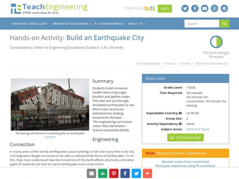
Teach Engineering: Build an Earthquake City
Students learn about earthquakes and how they effect structures. Student then apply their knowledge by trying to build an earthquake resistant city.
CK-12 Foundation
Ck 12: Earth Science: Earthquake Characteristics Study Guide
This comprehensive study guide covers the main terms and concepts needed for an earth science unit on the characteristics of earthquakes. Review questions are included at the bottom of the study guide.
Scholastic
Scholastic: Study Jams! Science: Landforms, Rocks & Minerals: Earthquakes
A video and a short multiple-choice quiz on earthquakes, how they form, how they are measured, and the ways they can change the surface of the Earth.
Michigan Technological University
Michigan Tech: Locating an Earthquake's Epicenter
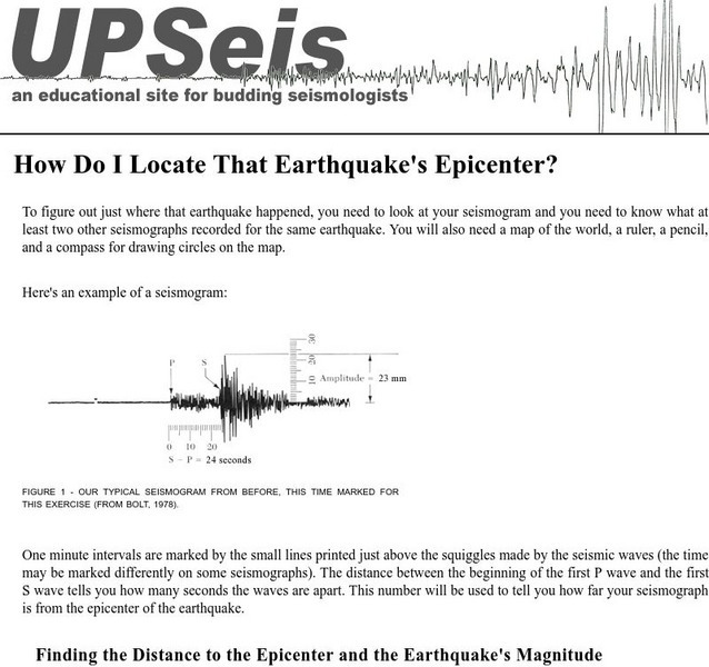
Gives directions on how to find the epicenter of an earthquake, the distance to the epicenter and the magnitude of the earthquake.


