Curated OER
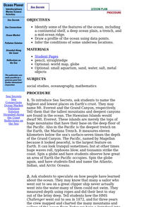
Ocean Planet: Sea Secrets
Students identify ocean features and draw a profile using data points on a map. Through discussion and research, they discover the importance of oceanography and plot a profile of the ocean floor in search for a vessel full of precious...
Curated OER
Get into the Flow with an Interactive Volcano
Students research the structural elements of a volcano. They make a PowerPoint slide that contains five facts which will be added to a whole class slideshow. They add an interactive table of contents using action buttons.
Curated OER
Plotting Earthquakes
Learners explore earthquakes. Using the National Earthquake Information Center website, students plot daily earthquakes on a map. They observe the magnitude of each earthquake. Learners identify the pattern of earthquake locations and...
Curated OER
Candy Bar Subsurface Geology
Students are introduced to drawing and interpreting topographical maps. They each cut through there Jell-o mountain at regular height intervals, and trace around the shape of the Jell-o cut off at the height, overlaying the different...
Curated OER
Recent Volcanoes And Earthquakes:
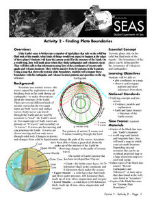
Students investigate the current model for the structure of the Earth. On a world map, they mark areas where they think earthquakes and volcanoes occur and compare those areas with earthquake and volcano location patterns.
Curated OER
Aquifer Model
Learners, after researching and brainstorming about aquifers and locating aquifer maps of Texas, participate in the building of a model of an aquifer complete with a pumping station. They also answer a variety of questions at the...
Curated OER
Design an Island
Students explore islands. They create a two- or three-dimensional map of an island. They explain how the topography of an area influences the location of water sources, ecosystems, and human settlements. Lesson includes adaptations for...
Curated OER
Human Impact on the Everglades Environment
Third graders research changes the Army Corps made in Everglades, focus on the human impact on the environment, design graphic organizers, summary statements, develop a Florida map of the Everglades region and give a presentation about...
Curated OER
Quad Squad
Students pretend they have visited a forest research station on an overnight field trip. They study forest fires, use compass directions, read maps, interpret imagery, and think about the impact of fire on ecosystems.
Curated OER
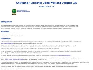
Analyzing Hurricanes Using Web and Desktop GIS
Young scholars analyze hurricanes. In hurricanes lesson, students use the Internet and GIS to analyze hurricanes. Young scholars view the National Atlas of Maps to discuss the direction hurricanes move. Students study the wind and...
Curated OER
Exploring Plate Tectonics
In this plate tectonics worksheet, learners answer questions about plate movement, the types of boundaries, the history of Earth's crusts and plate tectonics. They use an on line source to get their answers.
Curated OER
Gallery Walk Questions about Energy and Material Cycles
Students state the physical, chemical or biological processes associated with these environments: Pelagic ocean zone, California coat Cave, Indiana Barrier island beach, North Carolina Sand dune, Dunes National Park, Colorado Wetland and...
Curated OER
Working With Hypotheses
In this science worksheet, students examine the topic in order to solidify knowledge covered in the curriculum using puzzles and creative games.
Curated OER
Mountains "Fold, Fault, Erupt, and Erode"
Fifth graders conduct an experiment to demonstrate the folding and rippling of rock to form a mountain. They identify mountain chains on a map, participate in the demonstrations, and define folding fault block, igneous eruptions, igneous...
Curated OER
Seeing the Seafloor Using Sound - Multibeam Sidescan Sonar
Students are told that sound is not just stuff that our ears hear. They are explained that it is a tool for measuring and looking at objects in a new way. Students are introduced to sound waves and sonar imaging. They are explained...
Curated OER
Star Quest
Learners review the concepts of the branch of science known as astronomy. They discuss stars and constellations and then view the night sky using a portable digital planetarium projector. They identify a variety of constellations using a...
Curated OER
The Coldest Place at the Bottom of the World
Students research and trace Shackleton's actual and intended route on an area map. They analyze the altitude changes involved in a trek across Antarctica and complete a worksheet comparing Antarctica to their own state.
Curated OER
Identifying Materials by their Reflectivity
In this reflectivity worksheet, students read about the absorption and reflectivity of light by different materials. Students solve 4 problems and determine the composition of given materials based on the amount of light reflected. They...
Curated OER
Geography: examining the Glacial Features of Cape Cod
Students examine satellite images of the glacial features of Cape Cod. They analyze where human activity is located in terms of those features. Students make models of the features, including kettle holes. They also use contour maps...
Curated OER
Off to the Future
Students read a handout and predict the position of the San Andreas Fault far in the future. In this future world instructional activity, students use a map worksheet to demonstrate the path of the Pacific Plate millions of years from now.
Curated OER
Rock Cycle Review
In this rock cycle worksheet, learners review major concepts related to rock formation by answering 15 multiple choice questions and matching 15 terms to their definitions. Students identify 7 rocks as metamorphic, sedimentary, or...
Curated OER
Analysis of Atmospheric Conditions for a High Mountain Retreat
Students examine the relationship between altitude, atmospheric pressure, temperature and humidity at a particular location. They practice science and math in real world applications. They write reports detailing their scientific...
Curated OER
Habitable Zones
Students focus on stellar luminosities to estimate size of habitable zones, map out habitable zone around hot light bulbs that serve as models of stars, investigate how size of model "habitable zone" around light bulbs depends on...
Curated OER
Importance of Water
Students complete a KWL chart on what they comprehend about water. They complete a water activity determining how much usable water is available, and they determine the water usage in their households. Students take notes on water and...
