Curated OER
Great North
Students view a video about the Arctic Circle, North Pole and Northern Europe. They locate areas using a map. They create a drawing of the countries where the Inuit live.
Curated OER
Barrier Islands
Third graders explore how barrier islands work. For this erosion lesson, 3rd graders create barrier islands in stream tables and simulate wave action to see how it affects their island.
Curated OER
Barnegat Bay Watershed
Students design a model watershed. In this watershed lesson plan, students learn the needed parts of a watershed and how they work. Students evaluate how watersheds effect communities.
Curated OER
Aquifers and Groundwater
Students understand the purpose of an aquifer. In this aquifer and groundwater lesson, students build a model aquifer find its relationship to water usage. Students record observations as they build the layers of the aquifer.
Curated OER
Observing Lava Flows
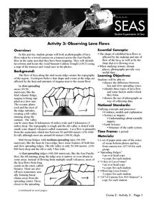
Learners examine the difference between fast and slow spreading lava flows. They identify various types of lava flow and determine the factors that cause them to form. Viewing photographs of lava flows, students working in groups,...
Curated OER
Infrared-Hot
Students describe how the sun heats the Earth, explain the nature of infrared light, explain how thunderstorms are formed and use infrared maps to predict severe weather.
Curated OER
Where Are We?
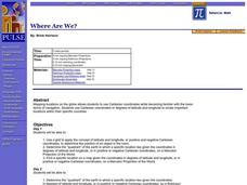
Students use Cartesian coordinates or degrees of latitude and longitude to locate important locations within their specific countries. They Use a grid to apply the concept of latitude and longitude, or positive and negative Cartesian...
Curated OER
Cherishing the Water of Life
Students work in small groups to brainstorm a list of all creatures, plants, natural, and artificial processes that use or depend on fresh water. The class views an aquarium filled with water representing all the water in the world. The...
Curated OER
Early Explorers
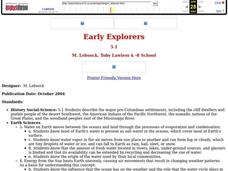
Fifth graders study early explorers. In this World history lesson, 5th graders draw an outline of a map labeling each part, build geographical features out of dough, and paint each of the land and water features.
Curated OER
Yellowstone Fires
Students assume the role of environmental biologists and help several government agencies resolve the debate surrounding "let it burn" policies in national parks.
Curated OER
Conditions at Sea Data Activity
Students study how to forecast sea conditions. In this oceanography lesson students complete a class activity on wave making.
Curated OER
Where In the World Are the Resources?
Students use the internet to research the amount of natural resources in a specific area on Earth. In groups, they locate the supply of each natural resource on a map in that area and what can be done to reduce their usage. They also...
Curated OER
Evolution Crossword
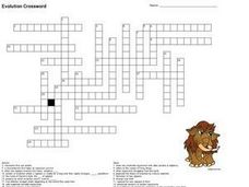
In this evolution crossword worksheet, 7th graders complete a crossword puzzle about evolution. Students read the definitions to fill in the puzzle with evolution terms.
Curated OER
Law of Superposition
Students identify the law of superposition and it states that beds of rock in a series are laid down with the oldest at the bottom and younger layers on the top. They construct a legen for a block diagram and construct a block diagram...
Curated OER
Physics of Space Flight
In this space flight instructional activity, learners will review physics terms relating to space which includes measuring the distance of space objects, how rockets work, and electromagnetic waves. This instructional activity has 10...
Curated OER
Geometry of Exploration: Eyes Over Mars
Students research how engineers and scientists generate linear and angular measurements with geometry to survey the Earth and Mars. They assess how geometric shapes affect navigation. A surveyor comes to the classroom and explains how he...
Curated OER
Satellite Tracking
Students apply satellite tagging data to investigate questions related to open-ocean animals, their habitats, and their migratory behaviors. They determine how physical or biological factors determine organism behavior using a data...
Curated OER
Scientist Tracking Network
Students correlate surface radiation with mean surface temperature of several geographic regions. They observe how these parameters change with latitude and construct an understanding of the relationship of solar radiation to seasonal...
Curated OER
Tracking Satellites Using Latitude and Longitude
Students investigate how to track satellites using latitude and longitude. They investigate what man learns from all the satellites currently being studied today. Students analyze the four basic types of satellite orbits.
Curated OER
Coral Bleaching in the Caribbean
Students use authentic satellite data on the NASA website to determine when the sea surface temperature meets the criteria to induce coral bleaching.
Curated OER
GPS Treasure Hunt for Knowledge
Students examine themselves as being part of a global community. In this global community activity, students investigate GPS systems. Students gain knowledge on how the device works. Students discover that satellites provide information...
Curated OER
It's Rainin', It's Pouring
Learners take a quick examine part of the water cycle, and the combined gas laws. The lesson plan lead them through the conditions necessary for cloud formation and allow them to create clouds in three different hands-on activities.
Curated OER
Seeing Sound & Sonar
Students make inferences based on different sounds that they hear. In this inferences lesson plan, students will hear sounds of different objects and describe the sounds based on what they hear. They will answer various questions about...
Curated OER
Is There Liquid Water on Mars?
Students assess whether there is liquid water on Mars by analyzing images and data. In this planetary lesson students analyze temperature and pressure graphs and hypothesize about how water could have flowed on Mars.


