Quia
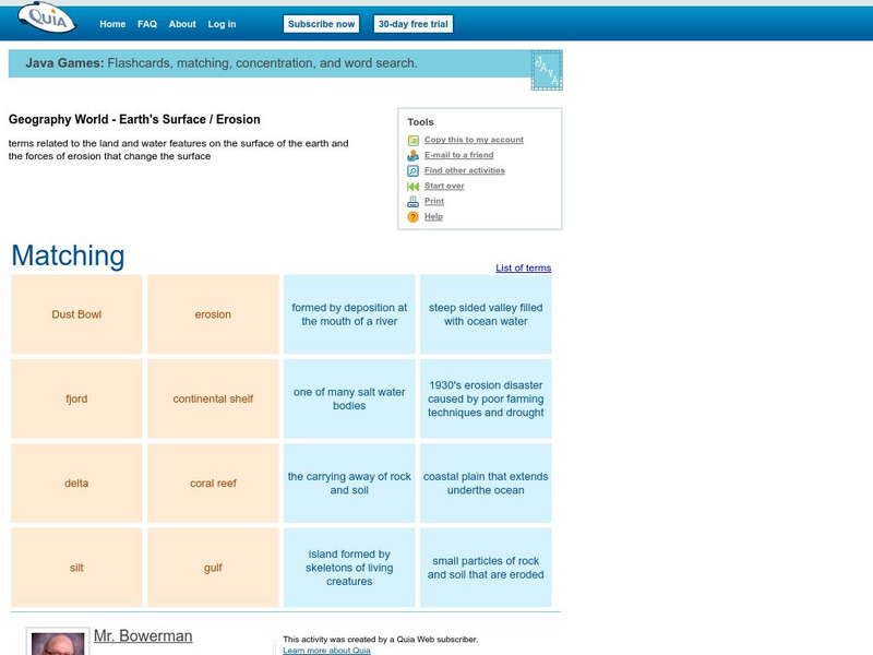
Quia: Geography World: Earth's Surface Matching Game
Match the vocabulary term with the definition to reinforce and practice your vocabulary terms. View the list of terms before beginning to become familiar with the words and improve your score. Users must enable JavaScript.
Other
Chicago Science Group: Earth's Changing Surface Virtual Field Trip
Join Science Companion author Belinda Basca and her family as they explore the land forms in Hawaii from a helicopter! Includes suggestions for teacher lessons, student activities, and web resources.
National Association of Geoscience Teachers
Quaternary Glacio Fluvial History of the Upper Midwest Using Anaglyph Stereo Maps
Students examine the anaglyph stereo map and use textures to generate a surficial geology map of the Upper Midwest. They can then interpret the textures in terms of landforms, geomorphic features, and earth-surface processes, as well as...
Quia
Quia: Geography World: Earth's Surface
Wonderful crossword puzzle containing clues about various landforms. After finishing the puzzle, a new puzzle will appear introducing some new clues.
CK-12 Foundation
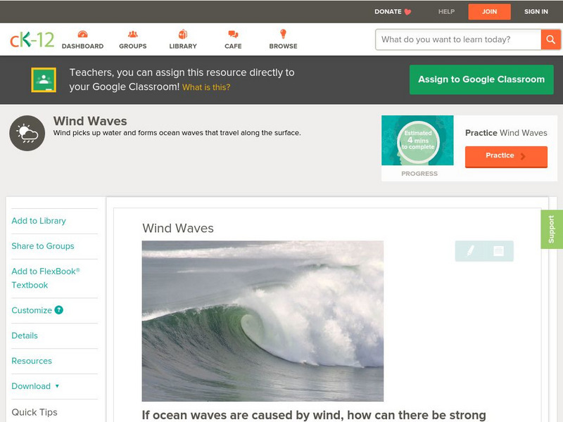
Ck 12: Earth Science: Wind Waves
[Free Registration/Login may be required to access all resource tools.] Wind picks up water and forms ocean waves that travel along the surface.
American Geosciences Institute
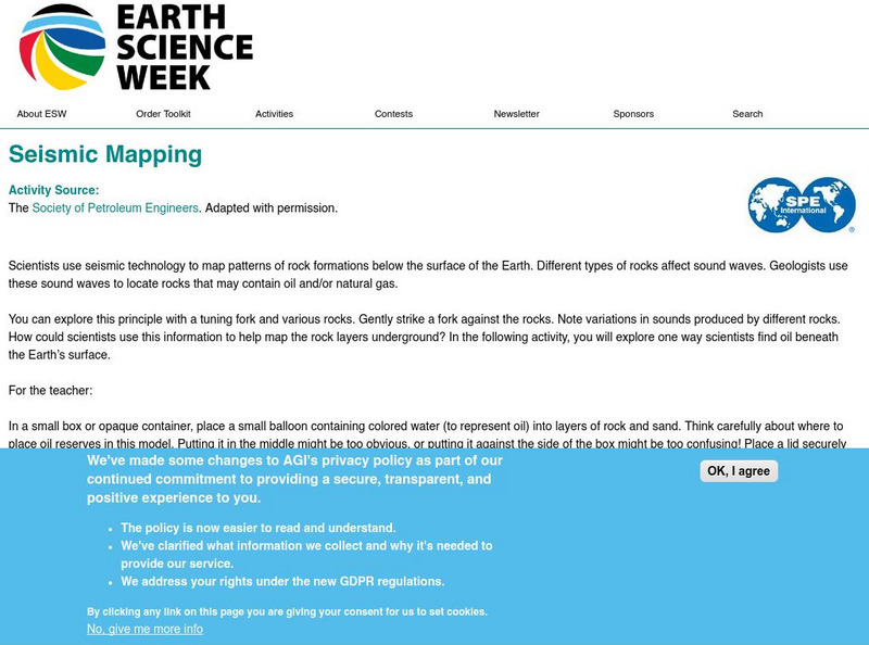
American Geosciences Institute: Earth Science Week: Seismic Mapping
Students become scientists, and learn about the usef of seismic technology to map patterns of rock formations below the surface of the Earth.
American Geosciences Institute
American Geosciences Institute: Earth Science Week: Sea and Ice Salinity
Students investigate the effects of salinity on the formation of sea ice, and whether salt water freezes more quickly or more slowly than fresh water.
Smithsonian Institution
National Museum of Natural History: Paleobiology: Geologic Time: Hadean Eon
Journey into the past while reading this comprehensive overview of the Hadean Eon that covers topics such as the formation of the earth, its surface and atmosphere, fossil evidence, erosion and plate tectonics.
Science Buddies
Science Buddies: Get Down and Dirty: How Does Soil Change With Depth?
What covers less than 10% of the Earth's surface, yet is a vital natural resource for terrestrial life? What filters ground water and supports most of our food production, not to mention the production of building materials and paper?...
Georgia Department of Education
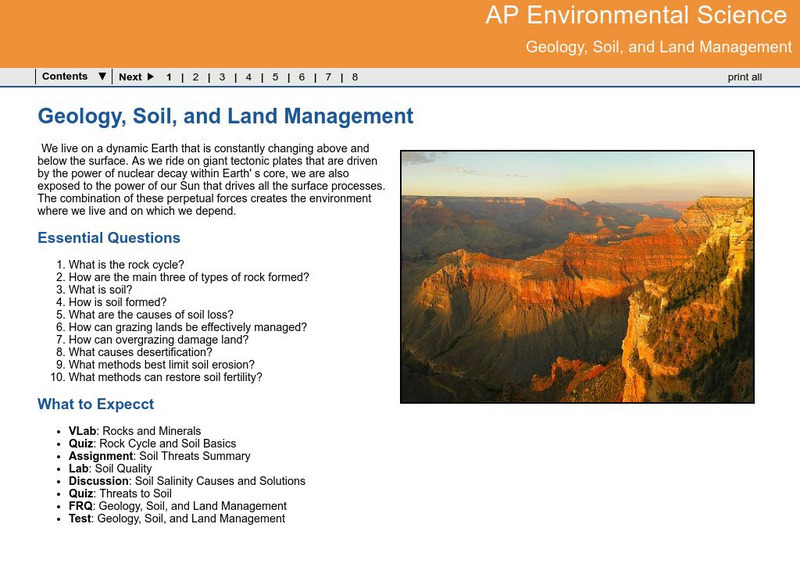
Ga Virtual Learning: Ap Environmental Science: Geology, Soil and Land Management
Students explore how Earth processes shape the land, and how important managing the land can be in response to these natural activities.
Math Science Nucleus
Math/science Nucleus: Observing Different Landforms
Lesson plan with subsequent pages to use with the lesson. Images with landform word match up and additional work on earth modeling.
Science Struck
Science Struck: What Are Ocean Trenches and How Are They Formed?
Around 72 percent of the Earth's surface is found under the oceans. It has always been contributing to the dynamically changing face of the Earth through the tectonic phenomenon occurring at its depths. Such a naturally occurring...
Energy for Sustainable Development
Esd Bulgaria: Kids & Energy: Natural Gas
Learn how natural gas forms, how scientists find it beneath the Earth's surface, and how it is produced, stored, and transported.
Other
Bscs: Earth's Changing Surface Lesson 2: Landform Detectives
Using relief maps, students will learn that landforms can be different from one place to another. Included are a minute-by-minute lesson plan, activities, and teacher discussion points and questions.
Center for Educational Technologies
Cotf: Plate Tectonics
Plate Tectonics provides geology with a comprehensive theory that explains how the Earth works.
Incorporated Research Institutions for Seismology
Iris: Seismic Tomography [Pdf]
Learn how seismic tomography imaging helps scientists understand the formation of the Earth's interior.
Alabama Learning Exchange
Alex: Wearing Away the Mountains
The Tennessee River Gorge outside Chattanooga is recognized as a protected biosphere reserve by the United Nations due to its immense proportion of species to acres. Understanding the formation of the gorge helps explain why so many...
Incorporated Research Institutions for Seismology
Iris: Earthquake Browser
A live, real-time data global map of all current earthquake activity.
PBS
Pbs Learning Media: Hurricane Matthew Causes Weathering and Erosion
View videos and photos from the aftermath of Hurricane Matthew and see how the earth's landforms changed as a result of the heavy winds and rain. Weathering and erosion made a new landform and dramatically changed the coastline....
Scholastic
Scholastic: Study Jams! Science: Landforms, Rocks & Minerals: Earthquakes
A video and a short multiple-choice quiz on earthquakes, how they form, how they are measured, and the ways they can change the surface of the Earth.
NASA
Nasa: Magellan Mission to Venus
This home page from NASA offers Venus images taken by Magellan and other highlights from the mission. In orbit around Venus for four years this mission provided maps of 98 percent of the surface of Venus that are more detailed than most...
Energy for Sustainable Development
Kinds and Energy: Wind Energy
Wind is air in motion. It is produced by the uneven heating of the earth's surface by the sun. Since the earth's surface is made of various land and water formations, it absorbs the sun's radiation unevenly. When the sun is shining...
Weather Wiz Kids
Weather Wiz Kids: Wind
Wind is air in motion. It is produced by the uneven heating of the earth's surface by the sun. Since the earth's surface is made of various land and water formations, it absorbs the sun's radiation unevenly. Two factors are necessary to...
Australian Museum
Australian Museum: Sedimentary Environments
This resource gives short descriptions of how sedimentary deposition occurs in rivers, lakes, river mouths, coral reefs, glaciers, arid environments, and tropical environments.
