Hi, what do you want to do?
Curated OER
Design Notebook
Students create a notebook where they record their plans, designs, revisions, problems, and solutions for a designated project. They examine various samples of design notebooks used by professionals, and develop their own notebook.
Curated OER
Tasmanian Time Travel
Sixth graders perform research using the Internet about the Tasmanian Devil. The project can be presented in a variety of ways. The use of computer software is important for students to know, specifically Hyperstudio.
Curated OER
Pacific Northwest History - Immigration
Students list the immigrant groups that migrated west, explain why they came and what they did upon arrival. They explain the importance of geography on the development of the Pacific Northwest and research the modes of travel they used.
Curated OER
"What Do You Mean?" How Language Changes Over Time
Students examine words used at Jamestown in 1607. They predict what the words meant in 1607, write sentences using three of them, then analyze the sentences after they have read the actual definitions of the words.
Curated OER
A Dream and an Idea: Searching for a Roadmap to Create a Country
Pupils compare and contrast opposing visions of government held by the founding fathers. They evaluate the roles of historical leaders in shaping the U.S. as an emerging nation.
Curated OER
Focused Learning Lesson: American History
Eleventh graders compare and contrast the type of immigrant that came to America during the 19th and 20th centuries. They write letters as if they were immigrants coming to America and what they faced and their hopes for the future.
Curated OER
City Bound
Fifth graders identify the reasons for people migrating to cities after the Civil War. Using population data, they discover why populations in cities rose while rural populations fell during 1860 to 1900. They discuss the impact a...
Curated OER
Famous Women in the Military
Students identify and research various women and their roles in military history. They describe how modern political positions are affected by differences in ideologies and viewpoints that have developed over time. Finally, students...
National Geographic
National Geographic: Mapping the Classroom
Learning to use and create maps builds students' spatial thinking skills as well as language skills in the early years. In this lesson, students practice using the language of location and then apply that language when creating a map of...
Annenberg Foundation
Annenberg Learner: United States History Map: Colonists
Use these interactive maps to see and read about the colonization of the New World by several European nations. When you are finished looking at the maps, test your skills with the European Colonies Challenge.
University of Texas at Austin
Ut Library Online: Historical Maps of the United States
This extensive collection of Historical United States maps from the University of Texas Library Online cover early inhabitants, exploration and settlement, territorial growth, military history, and later historical maps. These maps are...
Read Works
Read Works: Learn About Maps
[Free Registration/Login Required] Intended to support early elementary students' reading comprehension, the basic terminology associated with map are explained in this informational text. A question sheet is available to help students...
Smithsonian Institution
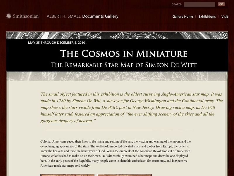
National Museum of American History: The Remarkable Star Map of Simeon De Witt
Simeon de Witt created his star map in 1780 after studying European star maps and the skies. His is the 'oldest surviving Anglo-American star map.' Read about the history of star maps, a biography of Simeon de Witt, and the influence his...
Wikimedia
Wikipedia: New France
An overview of New France, from the time the French first began to explore the area until they ceded Canada to the British (Treaty of Paris, signed in 1763). Includes a discussion of the founding of Quebec City and early maps of the...
Read Works
Read Works: This Is North America
[Free Registration/Login Required] Intended to support early elementary students' reading comprehension, geographical information about North American is provided in this informational text. Questions that assess multiple reading skills...
Wisconsin Historical Society
Wisconsin Historical Society: Increase Lapham
Increase Lapham was an early naturalist and engineer who catalogued many effigy mounds and native plant species of Wisconsin, along with the climate and the geology. He also drew early maps of the state. He also helped establish many...
Alabama Learning Exchange
Alex: Reading and Writing About Miss Moo
Lesson for early elementary and special education students utlizing the book Miss Moo Goes to the Zoo by Kelly Graves and graphic organizers to identify elements in a story (title, author, setting, characters, etc.). Students participate...
Library of Congress
Loc: Drake's West Indian Voyage 1588 1589
While studying early American exploration students will view the maps Sir Francis Drake used in his attacks of the Spanish in the New World. This lesson plan makes use of primary source maps to help the students learn how to analyze them.
George Mason University
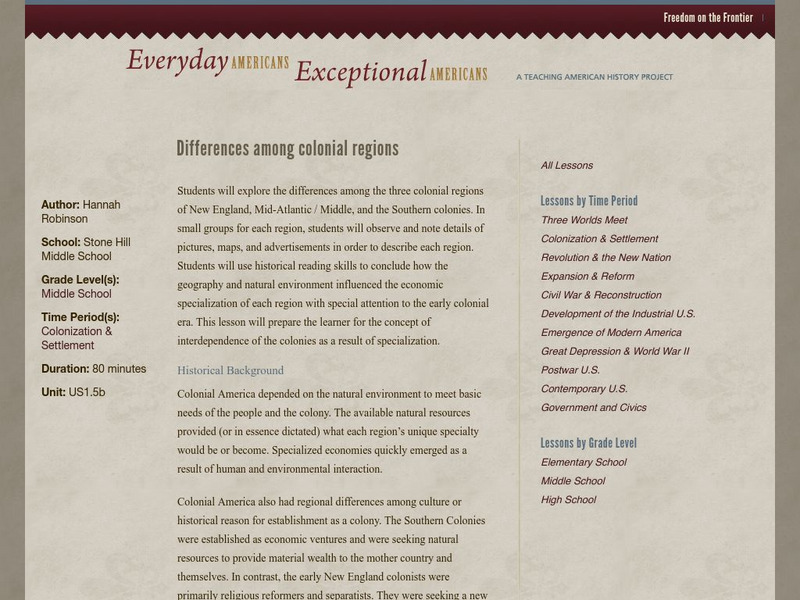
Chnm: Differences Among Colonial Regions
Students will explore the differences among the three colonial regions of New England, Mid-Atlantic/Middle, and the Southern colonies. In small groups for each region, students will observe and note details of pictures, maps, and...


