Curated OER
The Global Grid System-World Map Activity
Young scholars demonstrate how to use the global grid system. In this map skills instructional activity, students use a world map to locate various locations. Young scholars identify locations based on the global grid system. Students...
Curated OER
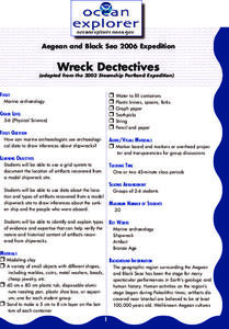
Wreck Detectives
Junior archaeologists examine types of artifacts from the Bronze Age on the internet. In collaborative groups, they create a story about a ship from this period and then construct a model of the ocean floor after their ship has sunk....
Curated OER
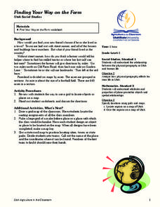
Finding Your Way on the Farm
Third graders make a grid map. In this directionality lesson, 3rd graders review how to use a grid to locate objects or places on a map. Students draw a grid map of the classroom and locate seating assignments. Students create a grid of...
Curated OER
Locating Places - Making a Map Grid
Students learn how to use a letter and number map grid. In this map grid lesson, students look at a landscape map and describe how to locate the airport. They compare the descriptions of different students to determine how they are the...
Curated OER
Locating Places
Learners demonstrate how to use the map grid system. In this map skills lesson, students are given coordinates to locate several locations on a world map. Learners use the map grid system to identify these locations.
Curated OER
Metrics And Measurements
Students engage in a study of measuring distances between geographical locations on a map. They are able to define and use the map scale in conjunction with the metric system. For this lesson they make their own maps and measure the...
Curated OER
Searching the Attic
Students investigate an attic or basement to "discover" family artifacts. They develop a grid map using string, create a naming system for the grid, and analyze items of interest.
Curated OER
Searching the Attic
Students conduct field research, including the use of a grid system, in order to discover important or interesting family artifacts.They map discoveries of important artifacts on a grid map in order to track and better analyze...
Curated OER
Finding Important Community Sites
Pupils locate community sites on a city map using the map legend and grid system.
Curated OER
Pacific Atolls and Island Groups
Learners construct, interpret and translate maps and geographic data. Given a worksheet, students identify an island, an atoll, a scale, and a compass rose. Learners grid systems, legends, and symbols. They use the map to find answers to...
Curated OER
Shipwreck Mystery
Young scholars draw inferences about a shipwreck. In this marine archaeologist activity, students examine historical and archaeological data to draw inferences about the age and identity of shipwrecks.
Curated OER
Traveling aroud Our Town
Learners are asked to describe to a partner how he or she walks to school or the bus stop. They are shown on the overhead an one-inch grid paper, and at the intersection of two lines on the grid paper, students are shown a house and...
Curated OER
Social Studies:
Students identify various types of breads fromother countries and locate them on maps. In small groups, they make story maps of books that mention bread and make books resembling sandwiches. Students have a bread tasting party and...
Curated OER
From Where to Where?
Students find locations based upon their latitude and longitude coordinates. In this latitude and longitude instructional activity, students locate points on a grid and learn how to use an astrolabe.
Curated OER
Labeling a Map of Australia
Third graders label a map of Australia. Using the internet, they research the history and maps of the continent and print a blank map. They review on how to use a compass rose and legend. In groups, they create a brochure to share...
Curated OER
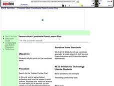
Coordinate Plane Treasure Hunt
Middle schoolers create a treasure map by plotting points on a coordinate plane using a computer drawing program. Students name and identify different landmasses and structures on their map. They create instructions to find the...
Curated OER
Geography and Culture of China
Take out a map, a paper, a ruler, and those coveted colored pencils for a lesson on Chinese culture and geography. This is a multifaceted approach to basic geography skills that incorporate story telling, class discussion, primary source...
Curated OER
Electronic Mapping
Young scholars identify countries, oceans, and capitals by building an electronic map.
Curated OER
Playground Mapping
Students convert their physical models of a playground from a previous lesson into a map of the playground that includes a scale and key. They examine and discuss examples of maps, view an image to map photo essay, and create a map using...
Curated OER
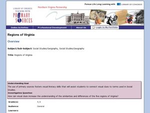
Regions of Virginia
Fourth graders research an assigned region of Virginia. They work in groups to create a PowerPoint presentation. They present their information to the class. Students are tested on the information from their region as well as the regions...
Curated OER
Tailoring Two Cultures to Adapt to Wisconsin's Biotic Zones
Middle schoolers examine the effect of the various ice ages on Wisconsin. In groups, they create a map representing the five geographic regions of Wisconsin. They must write out a description of each region to be placed on a poster...
Curated OER
Mapping the Local Community
Young scholars review the symbols and legends of a map. In groups, they follow a set of directions to create a map showing the route to a specific place. They present their map to the class and review the basic components of a community.
Curated OER
Is Charleston Your Lucky Charm?
Students determine what makes Charleston, West Virginia unique. In this West Virginia history lesson plan, students explore the West Virginia History Museum to identify why Charleston became the capitol of the state.

