Hi, what do you want to do?
Curated OER
Digital Imaging Project: Index of Artists & Architects
A digital imaging project by Mary Ann Sullivan of Bluffton University. There are over 10,000 images of sculpture and architecture indexed, from prehistoric to post-modern.
Boston College
Boston College: Digital Archive of American Architecture
Images of American buildings, including houses, churches, and public buildings from the seventeenth century through the twenthieth century taken by Dr. Jeffery Howe, a professor at Boston College. The table of contents groups images by...
Other
Lehigh University Digital Library: Pocahontas Archive Images
Offers an expansive image gallery of famous Native American Indian woman Pocahontas.
Other
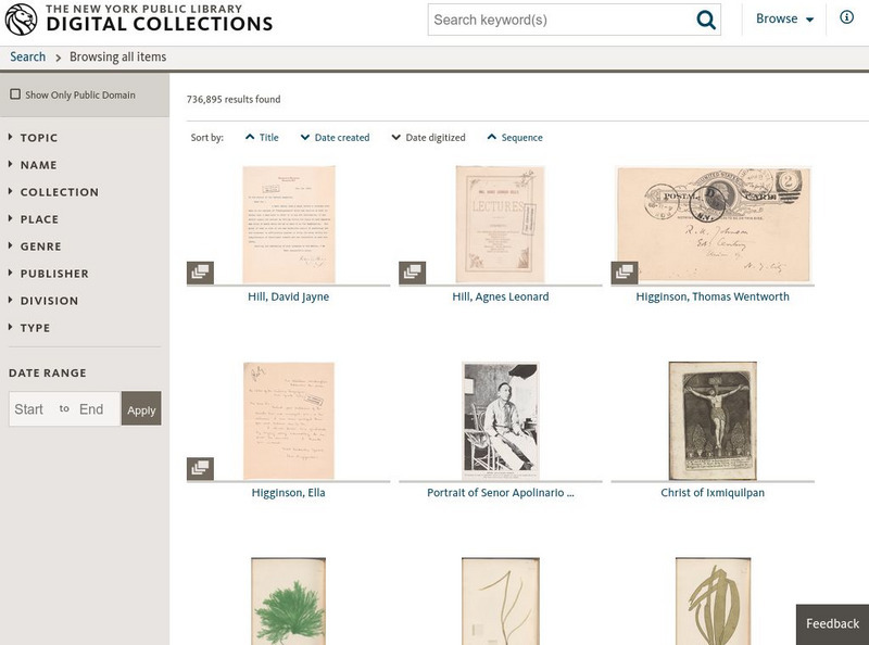
Nypl Digital Gallery
The New York Public Library has an extensive collection of photographs from Ellis Island on their site. Fifteen pages of images are provided here.
Other
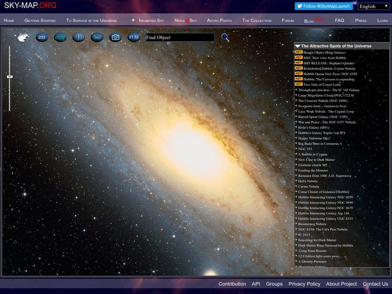
Sloan Digital Sky Survey: Sky Map
This astronomical survey by the Sloan Digital Sky Survey is poised to be one of the most ambitious ever undertaken. When completed, it will provide detailed images covering more than a quarter of the sky, and almost a million galaxies...
Northwestern University
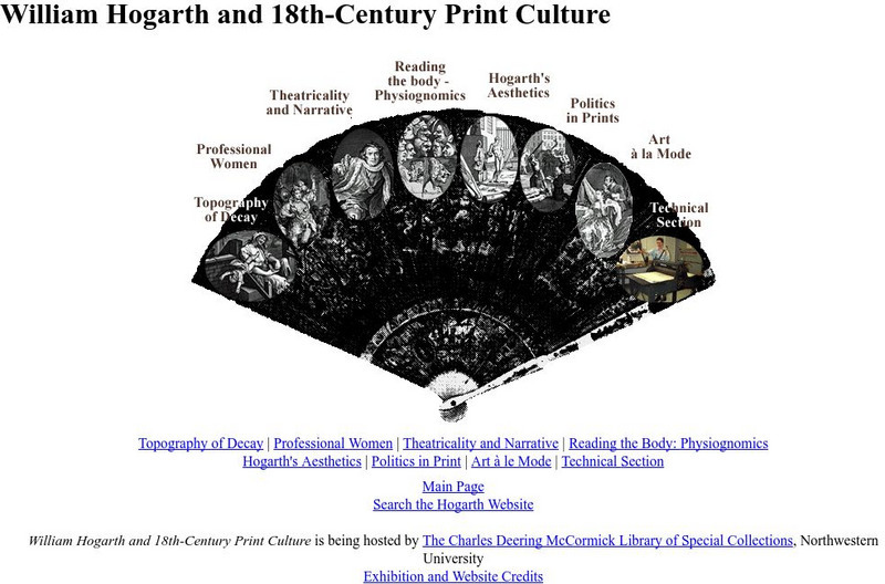
Northwestern University Library: Hogarth and Eighteenth Century Print Culture
Browse this large collection of Hogarth's prints to find examples of all of his favorite subjects, including eighteenth-century views of London.
Other
Israel Museum: Digital Dead Sea Scrolls
Virtual exhibit gives users access to some of the most important ancient manuscripts, the Dead Sea Scrolls. Provides images, short explanatory videos and background information on the texts and their history.
Other
Bowling Green State University: Algal Image Archive
A host of marine and freshwater algal images. View many different types of algal through Bowling Green State University's Center for Algal Microscopy and image Digitization.
Boston College
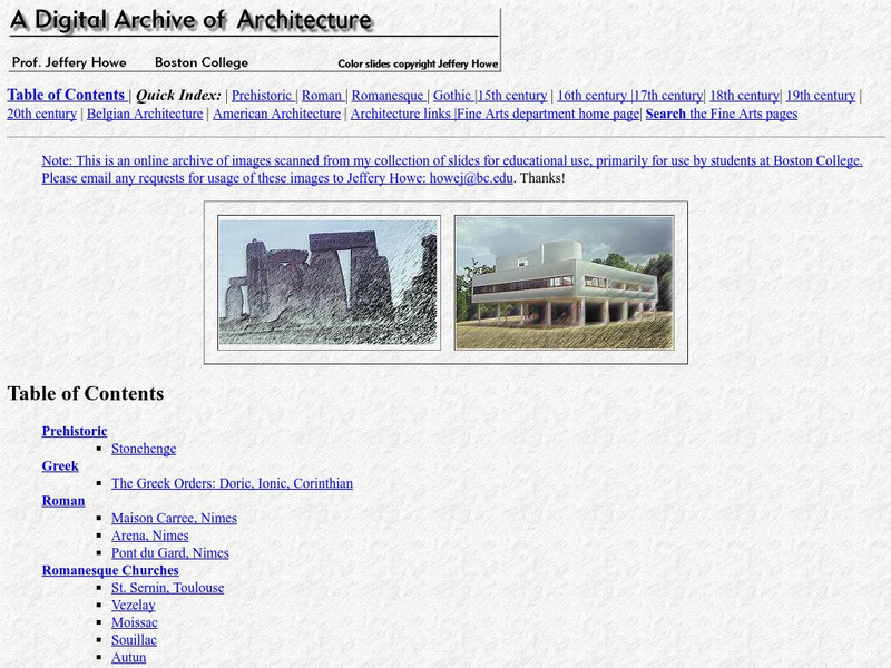
Boston Collection: A Digital Archive of Architecture
An online archive of images, prepared by university professor Jeffrey Howe, provides access to an impressive range of images to support a study of Western architectural traditions. Includes interior views, exterior views, and details of...
University of Calgary
University of Calgary: Alberta Airphoto Collection, 1922 1956
The Alberta Airphoto Collection consists of around 30,000 public domain images from the University of Calgary Library's collection of airphotos. The images cover urban areas at various scales and years between 1924 and 1952. These...
Other
Underwater Photography
"The most visited site for underwater photography since 1996." A great reference tool for equipment, images and information. There is an online photo course, equipment for sale, video, etc.
Curated OER
How to Buy a Digital Camera
Get some practical advice on selecting the appropriate digital camera for your needs.
Web Gallery of Art
Web Gallery of Art: The Holy Family
This site from the Web Gallery of Art provides a digitized image of this famous painting by Michelangelo. Includes some notes on the background of the painting and the artist's style. A link to a page containing a biography about...
University of California
Earthguide: Maps: Shaded Relief: Africa [Pdf]
View a digital image of a colored shaded relief map of Africa.
Curated OER
Digital Image services.com
Provides biographical information on Lewis Metzler Clement, the chief engineer for the Central Pacific Railroad, who both designed much of the route and supervised construction of the railroad.
Other
Katinka Matson: Artist's Statement
A site that shows images of flowers and other natural objects imported to the computer using a flatbed scanner and then printed as artwork. Read the artist's statement, then click on "Prints" at the top to see her work.
Smithsonian Institution
Smithsonian Libraries: Seed Catalogs
Open a window into the world of botanical illustration by browsing this library of images reproduced on seed packets and seed catalogues from the 1830s through the 1930s. Flowers, vegetables, fruits, and related subjects included.
University of California
Earthguide: Maps: Shaded Relief: South America [Pdf]
View a digital image of a colored shaded relief map of South America.
University of California
Earthguide: Maps: Shaded Relief: Eurasia [Pdf]
View a digital image of a colored shaded relief map of Eurasia.
University of California
Earthguide: Maps: Shaded Relief: Australia [Pdf]
View a digital image of a colored shaded relief map of Australia.
University of California
Earthguide: Maps: Shaded Relief: Antarctica [Pdf]
View a digital image of a colored shaded relief map of Antarctica.
University of California
Earthguide: Maps: Shaded Relief: Europe [Pdf]
View a digital image of a colored shaded relief map of Europe.
Other popular searches
- History of Digital Imaging
- History Digital Imaging
- Digital Imaging Notebooks
- Digital Imaging Introduction
- Bar Graph Digital Imaging
- Digital Imaging Vector
- Digital Imaging Auditorium
- Digital Imaging Lesson Plans


![Earthguide: Maps: Shaded Relief: Africa [Pdf] Graphic Earthguide: Maps: Shaded Relief: Africa [Pdf] Graphic](http://lessonplanet.com/content/resources/thumbnails/457693/large/bwluav9tywdpy2symdi1mdqyoc04mtc0oditewlycgp0lmpwzw.jpg?1745828000)
