Hi, what do you want to do?
NASA
Nasa: Aerial Photography: The Adventures of Amelia the Pigeon
An animated adventure story, developed by NASA, that helps children understand earth science concepts by using satellite photography and other types of aerial photographs to identify physical features on the surface of the earth. Teaches...
Free Management Library
Map: General Guidelines for Conducting Interviews
Interesting site. Delineates the sequence, topics, and wording for interview questions. Explains the different types of interviews and has useful links to other resources. Although designed for an interviewer, this site should also be...
George Mason University
George Mason University: World History Sources: Maps
Learn about the history of maps, what makes a map a map, and why bother with maps. Get answers to many different map questions and much more.
E-learning for Kids
E Learning for Kids: Math: Dojo: Polygons and Time Zones
Students will play several learning games to explore polygons such as triangles, and how to determine the area of triangles and the different types of triangles. They will also explore time zones.
Geographypods
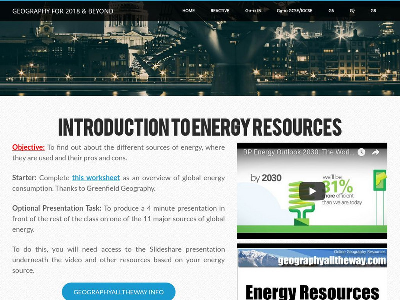
Geographypods: Theme 3: Economic Development: Energy Systems
This learning module looks at human-made systems of energy, covering different types of energy and power stations. Includes handouts, slideshows, maps, activities, photographs, an interactive animation, and videos.
CK-12 Foundation
Ck 12: Earth Science: Maps Study Guide
Get an overview of different types of Earth Science maps.
E-learning for Kids
E Learning for Kids: Science: Antarctica Research Center: Describe Different Weather Patterns
This module provides informational text about weather. Students will learn about precipitation and storm fronts. Students will also learn about different types of storms, including the following: hurricanes, cyclones, and typhoons.
University of Illinois
University of Illinois Urbana Champaign: Air Masses and Fronts
What are air masses and where do they originate? What happens to the weather along fronts? Learn about warm and cold fronts and different types of advection. Maps and animated illustrations make these topics easier to comprehend.
University of Illinois
University of Illinois Extension: Ww2010: The Boundaries Between Air Masses
Describes the different types of fronts and the dry line associated with certain fronts. Well illustrated with diagrams and maps.
E-learning for Kids
E Learning for Kids: Science: Pirates: What Is Energy Conversion?
This lesson covers the different types of energy, the definitions of kinetic and potential energy, how energy can be converted into different forms, and the law of conservation of energy.
E-learning for Kids
E Learning for Kids: Antarctica Penguins: How Does the Moon Influence the Tide?
This lesson explains how the moon affects tides on Earth and about the different types of tides.
E-learning for Kids
E Learning for Kids: Science: Alexandrian Lighthouse: What Is a Force?
Learn to identify when a force is being exerted, the different types of forces, and the size and direction of a force.
Johns Hopkins University
The Johns Hopkins University: Kansas State Maps
At this site from The Johns Hopkins University Applied Physics Laboratory, you can learn more about the great state of Kansas through its geography. You can learn a lot of information by studying maps. Different types of maps can give...
Johns Hopkins University
The Johns Hopkins University: Utah State Maps
At this site from The Johns Hopkins University Applied Physics Laboratory, you can learn more about Utah through these different types of maps. This site contains a black and white map, a county map, a satellite image map, a shaded...
Johns Hopkins University
The Johns Hopkins University: Virginia State Maps
This site from The Johns Hopkins University Applied Physics Laboratory allows you to learn more about Virginia through these different types of maps. This site contains a black and white map, a county map, a satellite image map, a shaded...
Johns Hopkins University
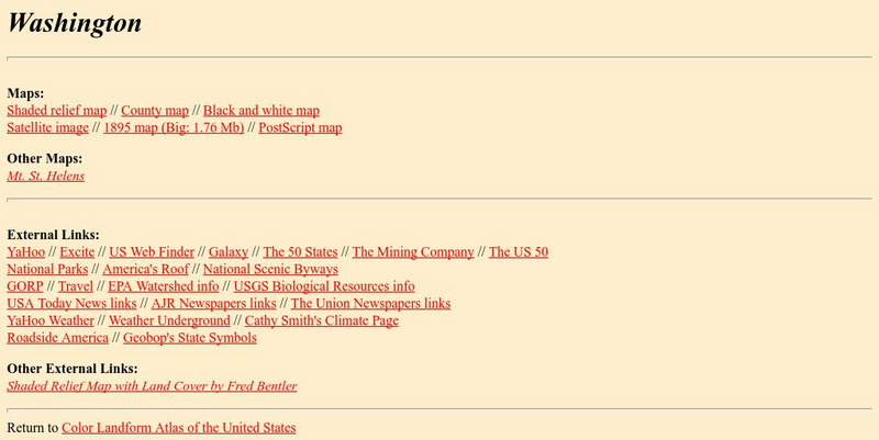
The Johns Hopkins University: Washington State Maps
This site from The Johns Hopkins University Applied Physics Laboratory allows you to learn more about Washington through these different types of maps. This site contains a black and white map, a county map, a satellite image map, a...


