Hi, what do you want to do?
Curated OER
Tibet and the U.S.
Learners study the Tibetan situation. In this global issues lesson, students listen to a lecture regarding Tibet, its location, and its ties to China. Learners then create political cartoons or write letters to their Congressperson about...
Curated OER
What's Driving Us?
Students determine what the people in their community are driving. Using traffic flow information, they develop recommendations on how to achieve sustainability. They calculate the carbon dioxide emission index for various sites and...
Curated OER
Block Magic and Block Magic, Too!
Students are shown how to make fast, fun pictorial blocks using only easy rotary-cut square and rectangles. They do not use any paper piecing or applique' required. Students review "How to Read the Charts". Then the teacher...
Curated OER
Advertising Then and Now
Students use resources to examine ads from historic newspapers. They analyze these ads and compare and contrast them to modern ads found on electronic editions. Students evaluate the changes as it applies to the information found.
Curated OER
Animal Bingo
Students discuss facts about animal habitats. In this animal lesson, students recall animal facts about habitats in an animal Bingo game. Teacher pieces and cards are already created and ready to print out.
Curated OER
Stars and Stripes Forever: Researching Veteran's Day and Historical Events
Sixth graders research Veteran's Day and wars that affected the United States. In this research activity, 6th graders work in small groups to create an oral presentation based on Internet and conventional research. They complete...
Curated OER
Kincaid Shelter Stratigraphy
Seventh graders illustrate how archeologists use stratigraphy to help determine environmental changes in a specific area since the Pleistocene Era, and to point out that these changes have affected the animals living in that area.
Curated OER
Information Safari
Students go to the library and research animals using features in the text to help them organize information. In this locating information lesson plan, students complete this task in teams.
Curated OER
Using the Internet Effectively: An Introduction
Pupils participate in a simulation activity to visualize what the Internet is and how it works. In groups, students work as information seekers, computers or messengers to simulate how computers work. After the simulation, pupils draw...
Curated OER
Environment: The Haves and the Have Nots
Students examine consumption habits in developed and developing countries and determine their effects on natural resources. In groups, they assess graphs on the Living Planet Report and observe the connection between consumption and...
Curated OER
Cruising the Caribbean
Seventh graders create four postcards that illustrate an island on the Caribbean.
Curated OER
Count Down
Students are introduced to useing websites as a data source. Using bird population predictions, they test their predictions from various websites. They record, organize and graph the data and share their results with the class.
Mocomi & Anibrain Digital Technologies
Mocomi: Types of Maps
Details on the different types of maps, scale, and symbols.
E-learning for Kids
E Learning for Kids: Science: Norway: What Are Some Types of Rocks?
Astrid lives in Norway, and really likes Viking ships and rocks. She is visiting a Viking museum, and needs help learning about different types of rocks, where rocks come from, and the different characteristics of rocks.
PBS
Pbs Learning Media: Earth's Systems: Map It
Explore different types of maps and how different things are represented on maps in this media gallery from WGBH. Maps are used to help locate different places and different things. Map symbols are representations of larger things in the...
Read Works
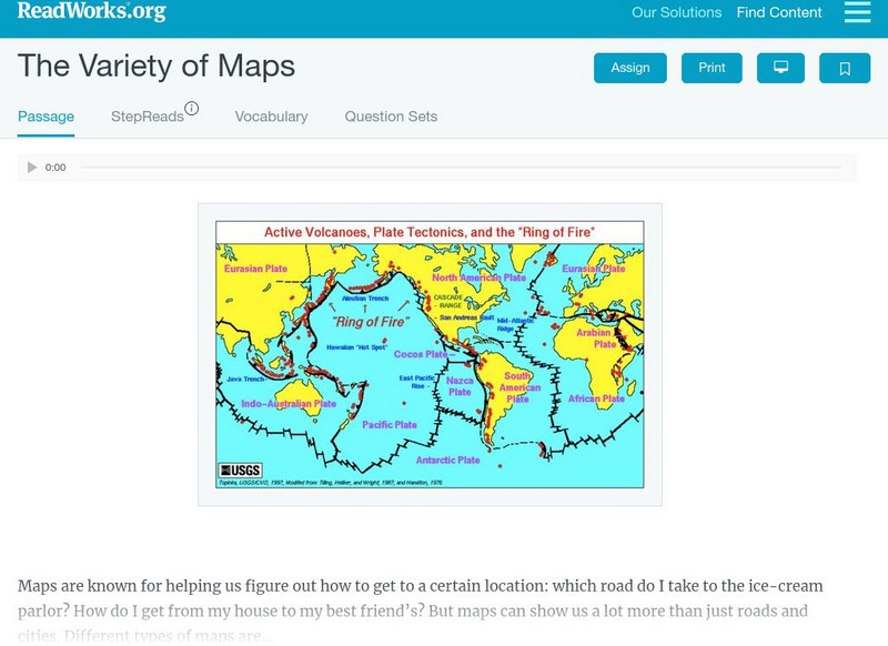
Read Works: The Variety of Maps
[Free Registration/Login Required] An informational text about many different types of maps and the people who make them. A question sheet is available to help students build skills in reading comprehension.
E-learning for Kids
E Learning for Kids: Antarctica: Penguins: What Are the Different Aspects of the Weather?
For this lesson, students learn about the different types of weather and the factors that impact them, including air pressure, humidity, sun and wind.
E-learning for Kids
E Learning for Kids: Science: Mediterranean Sea: Which Types of Landforms Do We Know?
Join Aldo, and learn about many different types of geological landforms.
National Endowment for the Humanities
Neh: Edsit Ement: Mapping Our Worlds
In this lesson, introduce your learners to the world of maps and discover a world of information online. Students learn how to identify different types of maps, comparing maps to the rooms of a house.
E-learning for Kids
E Learning for Kids: Science: Antilles: What Are the Different Forms of Energy?
Students will learn about the different types and sources of energy, including heat and light, electrical, potential, and kinetic energy.
Other
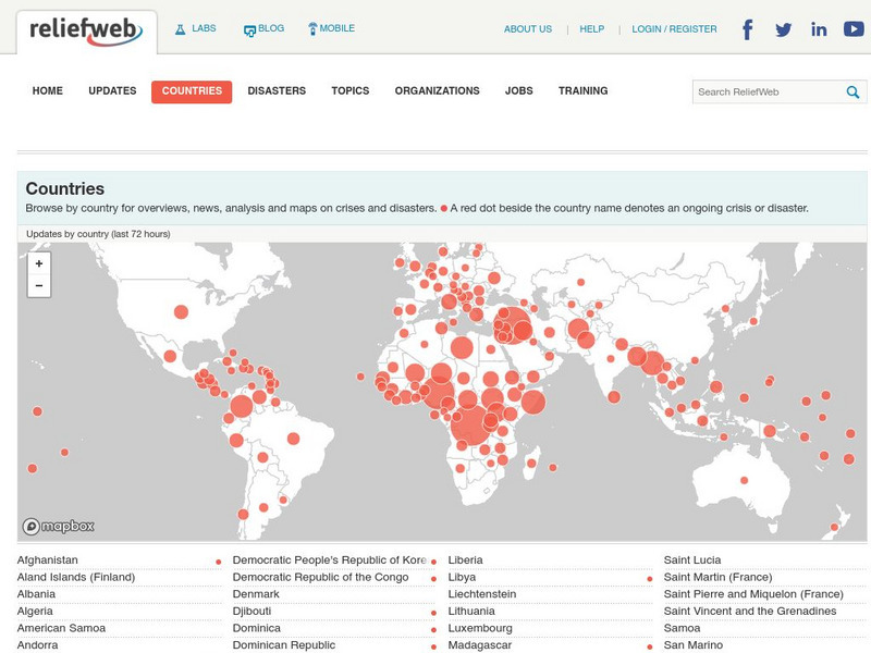
Relief Web: Countries
This resource provides information on countries throughout the world, current news, and different types of maps.
CK-12 Foundation
Ck 12: Plix: Anaerobic vs. Aerobic Respiration: Types of Respiration
[Free Registration/Login Required] Fill in the concept map regarding respiration, anaerobic and aerobic, to test your knowledge of the different types. You will need a sign in code to access this media but it is worth it!
National Geographic
National Geographic: Mapping Marine Ecosystems
Marine ecosystems are examined in this lesson. Students identify examples of different types and locate them on a world map. Includes handouts, website links, and a vocabulary list with definitions.
Discovery Education
Discovery Education: Weather Maps
This site provides a lesson plan in which groups of learners will each investigate a different type of weather map use for weather forecasting. Also includes discussion questions, extension ideas, and links to additional sites for more...


