Curated OER
Geographical Features
Fourth graders explore geographical features through the creation and construction of an original island. In small groups they write a description and draw a blueprint of their island using a draw/paint computer program, and using...
Curated OER
Geographic Landscapes and Interstate Freeway Development
Students investigate the topography of the United States through a discovery lesson. They create a hypothetical route for a highway across the United States. Students also conduct research major landforms and define geographic terms.
Curated OER
Gingerbread Baby Student Books #3
Students are read the story "Gingerbread Baby". They create a mold of a gingerbread out of paper. They decorate one side of the paper and write their own story on the back.
Curated OER
Metropolitan Areas in the USA
Fifth graders explore why people live in certain regions of the United States. They investigate information on specific metropolitan areas such as temperature, population, natural resources, precipitation and landforms. In groups, 5th...
Curated OER
A Nation Divided
Learners compare the physical and human characteristics east and west of the 100th meridian to answer twelve questions. They write a summary of their findings.
Curated OER
Whose Business?
Fourth graders compare and contrast the businesses in Fort Griffin with those in their own community. Using the internet, they discover the factors that have influenced the development of businesses in a town. They also create a map of...
Curated OER
Island Formation
Students create models of how islands are formed by hot spots and then write a summary of their observations and of how they think their model relates to volcanic hot spots and island formation.
Curated OER
Mapping South America
Middle schoolers explore South America. In this South American lesson, students use their geography skills to create population, terrain, biomes/vegetation, and major exports maps. Middle schoolers present their finished maps to their...
Curated OER
Wright Brothers Centennial: North Carolina, Geography and History
Fourth graders identify symbols, people and events associated with North Carolina history. Using this information, they focus on the Wright brothers and their first flight. They answer questions related to the event and discuss how...
Curated OER
Character Traits in Gingerbread Baby #5
Students are read the story "Gingerbread Baby". They draw or download the characters and cut them out. They create character profiles for each character based on how they acted in the book. They act out a scene from the story as well.
Curated OER
Gingerbread Baby Ornaments #4
Students are read the story "Gingerbread Baby". They use patterns from the book's website to use as templates for ornaments. They use clay and colors to make the ornaments and give them to someone as a gift.
Curated OER
Gingerbread Baby's Home #1
Learners are read the book "Gingerbread Baby". They work together to create a home for the baby in the story. They use clues from the story to help them build the house.
Curated OER
Cruising the Caribbean
Seventh graders create four postcards that illustrate an island on the Caribbean.
E-learning for Kids
E Learning for Kids: Science: Mediterranean Sea: Which Types of Landforms Do We Know?
Join Aldo, and learn about many different types of geological landforms.
Science Struck
Science Struck: Types of Landforms
Describes different landform types and their features. includes many good quality photographs.
American Geosciences Institute
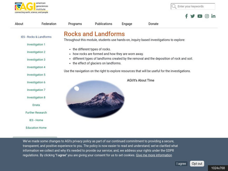
American Geosciences Institute: Rocks and Landforms
Eight hands-on lessons module where students learn about rocks and landforms. These inquiry-based investigations explore the different types of rocks, how they are formed, the different types of landforms, and the effects of glaciers on...
Scholastic
Scholastic: Study Jams! Science: Landforms, Rocks & Minerals: Landforms
A slideshow, a karaoke song to sing along to, and a short multiple-choice quiz on the topic of landforms, some different types, and how they are formed.
University of Washington
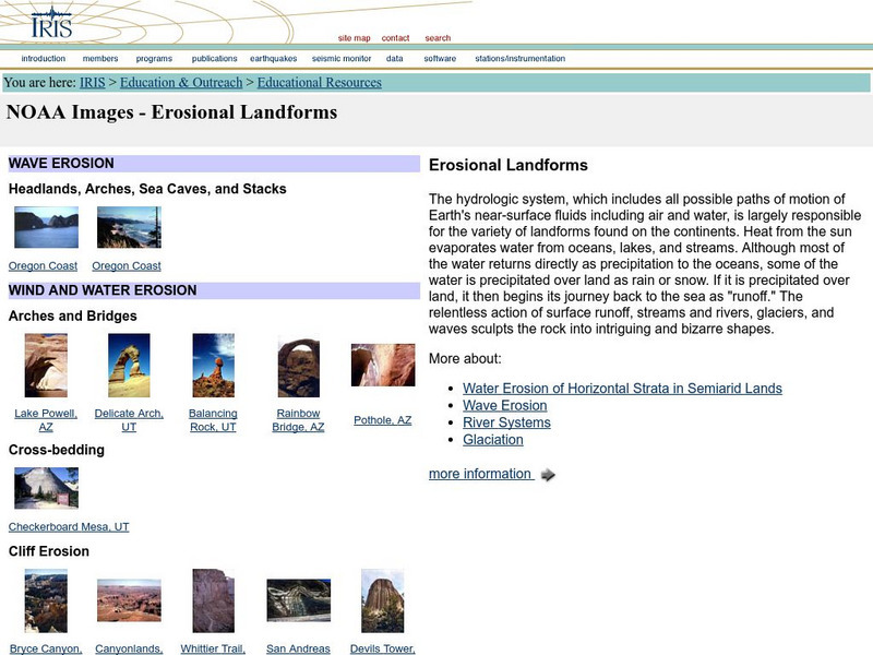
Iris: Noaa Images: Erosional Landforms
Examples, with images, of different types of landforms created by water and wind erosion.
University of South Florida
University of South Florida: College of Education: Geography
Definitions of the terms used in geography. Understand different types of landforms, regions, human-environmental relationships, and places.
Other
Bscs: Earth's Changing Surface Lesson 1: Our Land
This hands-on lesson focuses on the land and its many different types of landforms and bodies of water. Included are a minute-by-minute lesson plan, activities, and teacher discussion points and questions.
PBS
Pbs Learning Media: Earth's Systems: Map It
Explore different types of maps and how different things are represented on maps in this media gallery from WGBH. Maps are used to help locate different places and different things. Map symbols are representations of larger things in the...
Science Struck
Science Struck: How Mountains Are Formed
Read about the different types of mountains and how they are formed.
Houghton Mifflin Harcourt
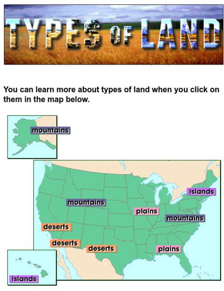
Harcourt: School Publishers: Types of Land
This clickable map of the United States defines different geographic features such as mountains, plains, islands, and deserts.
Math Science Nucleus
Math/science Nucleus: Observing Different Landforms
Lesson plan with subsequent pages to use with the lesson. Images with landform word match up and additional work on earth modeling.


