Hi, what do you want to do?
Missouri Botanical Garden
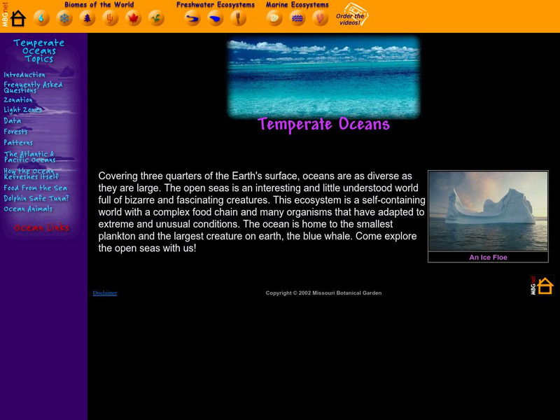
Missouri Botanical Garden: Temperate Oceans
How are the Atlantic and Pacific oceans different? At this site from the Missouri Botanical Garden you can click on the "Atlantic and Pacific Oceans," link to learn all about this topic. Study the two animated illustrations given to...
TeachEngineering
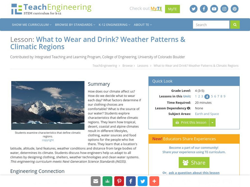
Teach Engineering: What to Wear? What to Drink? Weather Patterns and Climatic R
How does our climate affect us? How do we decide what to wear each day? What factors determine if our clothing choices are comfortable? What is the source of our water? Learners explore characteristics that define climatic regions. They...
PBS
Pbs Learning Media: Earth's Systems: Map It
Explore different types of maps and how different things are represented on maps in this media gallery from WGBH. Maps are used to help locate different places and different things. Map symbols are representations of larger things in the...
Other
Bscs: Earth's Changing Surface Lesson 1: Our Land
This hands-on lesson focuses on the land and its many different types of landforms and bodies of water. Included are a minute-by-minute lesson plan, activities, and teacher discussion points and questions.
PBS
Pbs Learning Media: The Geography and Natural Resources in Canada
Students will explore a physical map showing natural resources in Canada to analyze the impact of the environment on the distribution of natural resources. Students will write about the information they discover using the provided...
PBS
Pbs Nature: Sharks
How many species of sharks are there in the world of water? Students will discover how and where sharks live, what they eat and how they socialize through the exploration of this resource.
TeachEngineering
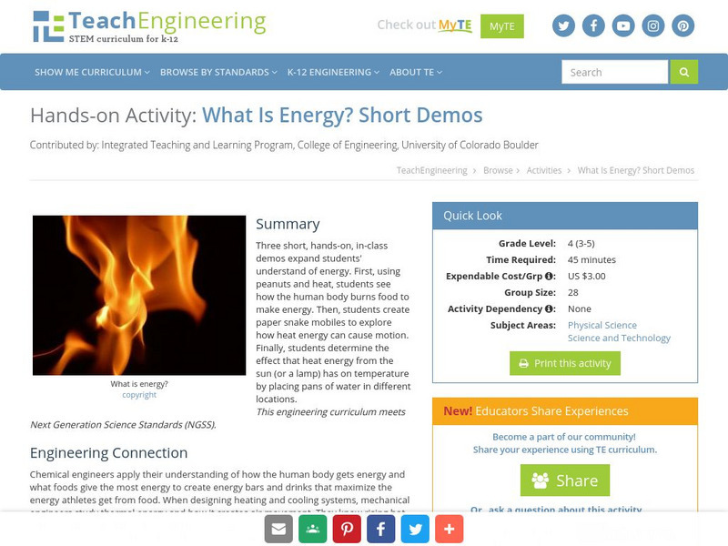
Teach Engineering: What Is Energy? Short Demos
Three short, hands-on, in-class demos expand students' understand of energy. First, using peanuts and heat, students see how the human body burns food to make energy. Then, students create paper snake mobiles to explore how heat energy...
Curated OER
Educational Technology Clearinghouse: Maps Etc: Winter Monsoon in India, 1910
A map from 1910 of the Indian subcontinent and the Central Asia region showing the typical rainfall distribution patterns during the winter monsoons, keyed to show areas of rainfall ranging from very light to heavy rainfall. The map...
Curated OER
Educational Technology Clearinghouse: Maps Etc: Summer Monsoon in India, 1910
A map from 1910 of the Indian subcontinent and the Central Asia region showing the typical rainfall distribution patterns during the summer monsoons, keyed to show areas of rainfall ranging from very light to, according to this text, the...


