Other
Flags of All Countries
A comprehensive collection of images of flags of all countries searchable by country name, by continent, by organizations, or by currency. Click on the picture of the flag for further details about the country including a map showing the...
Central Intelligence Agency
Cia: World Factbook: Regional and World Maps
Website from the Central Intelligence Agency (CIA) provides interactive reference material for regional and world maps in the World Factbook Library. Students and teachers can search for information about any country in the world.
Other
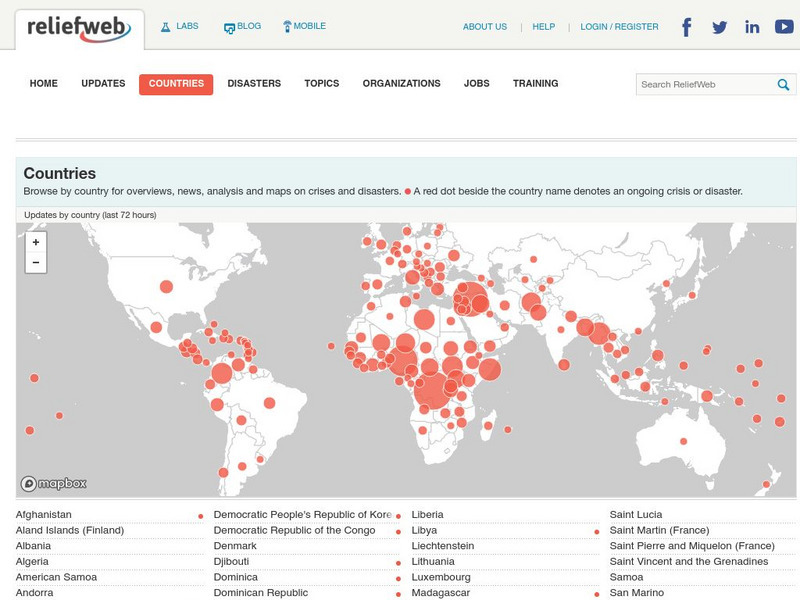
Relief Web: Countries
This resource provides information on countries throughout the world, current news, and different types of maps.
The Guardian
Guardian: World News: How Well Do You Really Know Your Country?
This interactive article engages readings in a series of questions about statistics about a chosen country. Students will predict a statistical answer and receive immediate answers relative to their accuracy. Students will also be able...
United Nations
United Nations: Cartographic Section: The World Today [Pdf]
Here is an up-to-date political map of the world today. Very detailed with a good key.
National Geographic
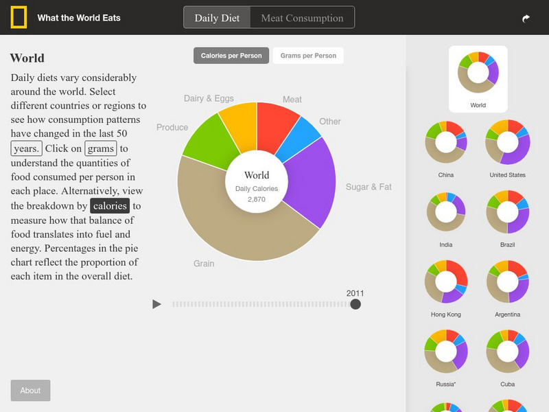
National Geographic: What the World Eats
This interactive website offers pie charts showing what the world eats and what 22 different countries eat. It also allows you to choose by year as well. These include food groups, calories, and grams overall and per category.
Houghton Mifflin Harcourt
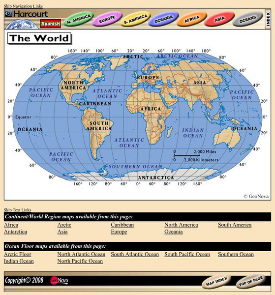
Harcourt: School Publishers: World Atlas: The World
Provides continent, country, and ocean floor maps from all over the world. Click on a continent's name to access the detailed maps which also include statistical facts on each available country.
Google Cultural Institute
Google Cultural Institute: World War Ii Looted Art: Turning History Into Justice
Photographic exhibit explores the systematic looting of art in Nazi-occupied countries. These looted treasures were hidden in castles and salt mines in Austria and Germany and many have since been recovered.
US Energy Information Administration
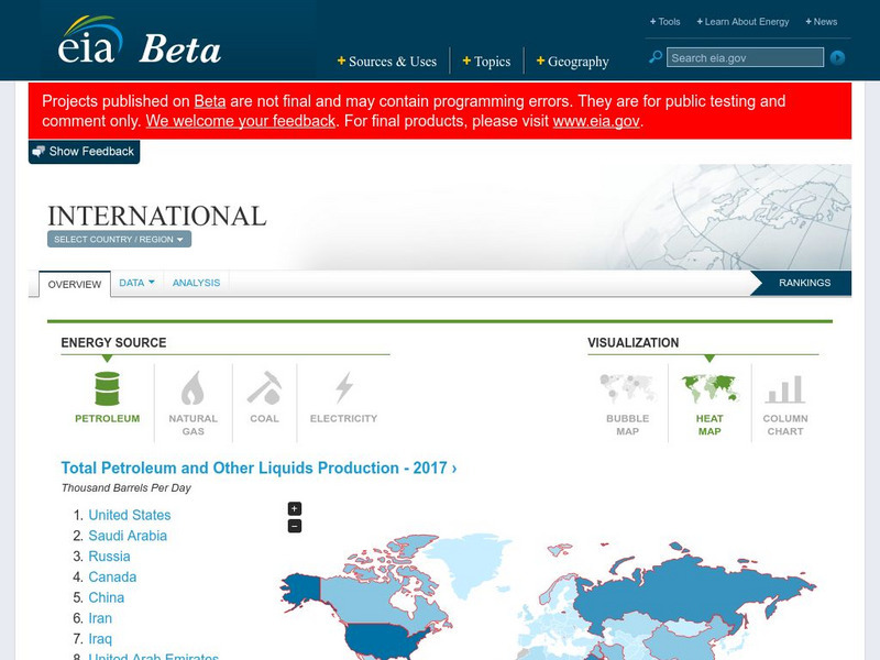
Energy Information Administration: Country Analysis Brief
Contains briefs with a narrative section, a map showing the country's location, and a section listing pertinent economic and energy data for every country in the world of interest to energy policy makers.
Boise State University
Boise State: World at War: Set the Stage
This 1815 map of Europe is a result of the Congress of Vienna creating a balance of power between the five most powerful countries in Europe. The countries competed in nearly everything, which made it almost inevitable that war would come.
United Nations
United Nations: Cartographic Section: The World in 1945 [Pdf]
Find out what the political world map looked like after World War II in 1945. Enlarge the map so you can see what countries belonged to the UN, which were still dependent territories, and which did not belong to the UN.
Houghton Mifflin Harcourt
Holt, Rinehart and Winston: World Atlas: Suriname
View an excellent map of Suriname accompanied by current, detailed information about this interesting country.
Other
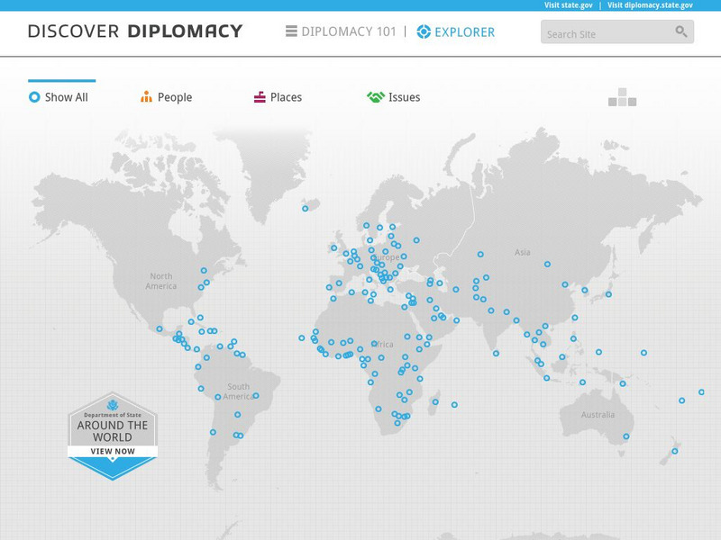
Discover Diplomacy: Around the World
The following map is a visual representation of the presence of the United States around the world. This interactive map shows our diplomats and their roles in their respective countries, places in the world where we practice diplomacy,...
Other
Metrocosm: Your World Map Is Hiding Something
The Mercator projection is the map everyone is most familiar with, however, this map gives a distorted view of our world. Find out why and compare other map projections. Have fun clicking on the maps and changing the projections to see...
National Geographic
National Geographic: My Wonderful World: World Wall Maps (Pdf)
Make your own full color or black and white mosaic wall map on your own printer. World maps, continents, Asian regions, and oceans are available for downloading, printing, and assembling.
Houghton Mifflin Harcourt
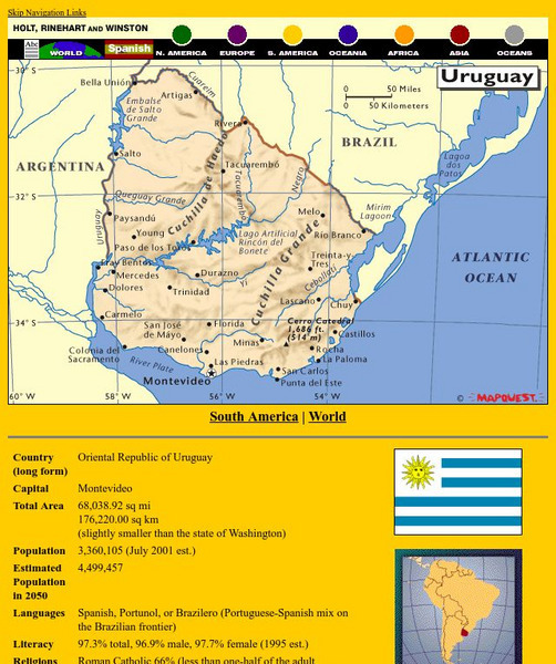
Holt, Rinehart and Winston: World Atlas: Uruguay
An excellent map of Uruguay accompanied by detailed information about the country.
Information Technology Associates
Information Technology Associates: Quick Maps
View countries of the world. Maps are quick and easy to read. Some are designed to be printed out for coloring and/or labeling.
World War 1
Worldwar1.com: Trenches on the Web: Posters From the Great War
Original posters from the leading countries involved in World War I.
World Food Programme
United Nations World Food Programme: Bolivia
World Food Programme is the United Nations frontline agency in the fight against global hunger. This site describes the work of the United Nations in Bolivia.
Geographyiq
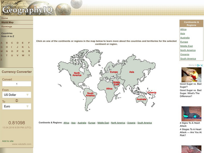
Geography Iq: World Map
Online world atlas allows you to click on one of the continents or regions in the map to learn more about the countries and territories for the selected continent or region.
Other
World Time Zones: Actual Time Check
This interesting site shows the current time in 30 countries around the world. The clocks on display show that the time and day are different in different locations and that some time zones are hours ahead or behind, but others are off...
Other
Mr. Dowling's Passport: Life Expectancy Around the World
From the CIA World Fact Book, this chart displays life expectancy statistics by country. Also links to data from the last two years.
Other
Fiarfield University: The Urbanization of the World
A focused look at urbanization in first and third world societies . Interesting charts compare urbanization trends in more vs. less developed regions of world.
Other popular searches
- Countries of World War I
- Third World Asian Countries
- Labeled World Map Countries
- Countries of the World Project


