National Geographic Kids
National Geographic Kids: Ecuador
Click-through facts-and-photo file about Ecuador's geography, nature, history, people and culture, and government. Includes a map of the country that pinpoints its South American location.
PBS
Nova: The World on Fire
During 200 the United States experienced one of the worst years for forest fires. The seasonal nature of this disaster is also typical of other countries. This interactive resource provides an overview of worldwide fires during 2000....
AllRefer
All Refer Reference: Guyana: Background & Profile
A tremendous amount of information about Guyana in an easy-to-follow format. Topics include geography, people, government, economy, military, flag, and more.
University of Texas at Austin
Ut Library Online: Historical Map Collection
This extensive collection from the University of Texas Library Online of detailed maps of many regions of the Earth.
SMART Technologies
Smart: World Map
This lesson features a world map with labeled countries, a global map, and an interactive map of the seven continents.
ClassFlow
Class Flow: World Regions
[Free Registration/Login Required] This flipchart is designed to quiz students about their general understanding of regions around the world and includes countries that are in many of these regions. Use as a pre-test or review with...
ClassFlow
Class Flow: Continents
[Free Registration/Login Required] This flipchart identifies the 7 continents of the world and reviews with Activotes.
Other
Kids World Travel Guide: Continent Facts
Provides interesting and fun facts on the continents of the world.
Other
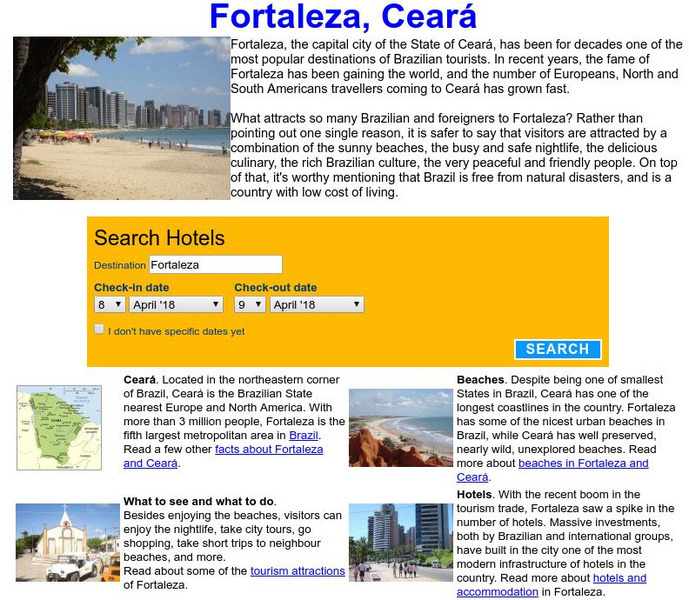
Visit Fortaleza: Fortaleza, Ceara, Brazil
Information on Fortaleza which is the capital city of Ceara, Brazil. It has become one of the top tourist attractions in the country.
Curated OER
Unesco: Mexico: Historic Town of Guanajuato and Adjacent Mines
Founded by the Spanish in the early 16th century, Guanajuato became the world's leading silver-extraction centre in the 18th century. This past can be seen in its 'subterranean streets' and the 'Boca del Inferno', a mineshaft that...
Curated OER
Etc: Maps Etc: Mexico, Central America and the West Indies, 1852
A map from 1852 of Mexico, Central America, and the West Indies. The map shows territorial boundaries at the time, including the Mexican States, capitals and major cities and ports, railroads, rivers, lakes, mountain systems, and terrain...
Hans Lohninger
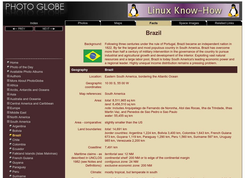
Photo Globe: Brazil
Presents many general country specific facts about Brazil in a well organized chart form. Content includes: geography, people, government, economy, communications, transportation, military, and transnational issues. This site is enriched...
Hans Lohninger
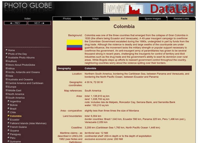
Photo Globe: Colombia
Presents many general country facts about Colombia in a well organized chart form. Content includes: geography, people, government, economy, communications, transportation, military, and transnational issues. This site is enriched by...
Information Technology Associates
Theodora: Paraguay 2017
Country-specific information compiled from a variety of sources. Learn about Paraguay's geography, population, climate, people, government, economy, communications, international issues, religion, and more.
Information Technology Associates
Theodora: Uruguay 2017
Up to date country-specific information compiled from a variety of sources. Learn about Uruguay's geography, population, climate, people, government, economy, communications, international issues, religion, and more.
Nations Online Project
Nations Online: Argentina
Presents a virtual travel guide and country profile of Argentina, background overview, and numerous links to comprehensive information on the country's culture, history, geography, economy, environment, population, news, government, and...
Nations Online Project
Nations Online: Chile
Great destination guide and country profile of Chile featuring a background overview, and numerous links to comprehensive information on the country's culture, history, geography, economy, environment, population, news, government, and...
Information Technology Associates
Theodora: Venezuela 2017
Current country-specific information compiled from a variety of sources. Learn about Venezuela's geography, population, climate, people, government, economy, communications, international issues, religion, and more. Be sure to click on...
Oxfam
Cool Planet: Brazil
Travel to Brazil and discover information on its history, geography, people, and fun facts. Also, find out what Oxfam is doing to help the third of the population of people in this country that still live in poverty.
Curated OER
Map of Uruguay
The BBC furnishes a country profile on Uruguay featuring an overview, facts, and leadership of this South American country. Links to a timeline of key events and an audio of the national anthem.
Curated OER
Flag of Uruguay
The BBC furnishes a country profile on Uruguay featuring an overview, facts, and leadership of this South American country. Links to a timeline of key events and an audio of the national anthem.
Curated OER
Usacmh: Defense of the Americas 7 December 1941 2 September 1945
This brochure from the Army's Center of Military History gives an extensive account of the little-reported on American theater of World War II. Read about the preparations for hemispheric defense, the few breaches of the defense, and the...
