World Geography Games
World Geography Games: Capitals of America
Match the country in the Americas with its capital city.
Curated OER
Etc: Maps Etc: Mexico, Central America, and the West Indies, 1898
A map from 1898 of Mexico, Central America and the West Indies. The map includes an inset map of Cuba and the Isthmus of Nicaragua. "The surface of the Rocky Mountain highland in Mexico is quite similar to that of the great plateau...
Curated OER
Educational Technology Clearinghouse: Maps Etc: Central America, 1920
The countries of Central America, showing country borders, steamship routes, and telegraph lines.
Country Studies US
Country Studies: Honduras
A study of Honduras, describing and analyzing its political, economic, social, and national security systems and institutions, and examining the interrelationships of those systems and the ways they are shaped by cultural factors....
Central Intelligence Agency
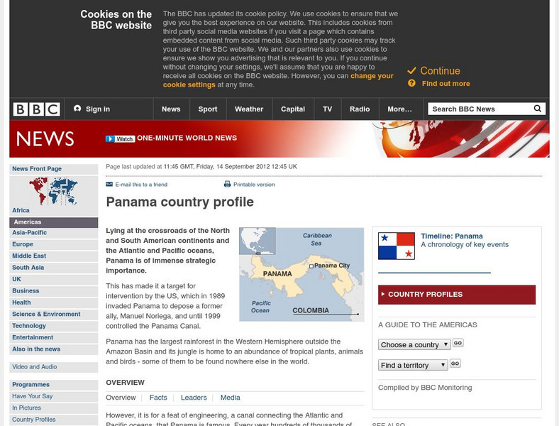
Cia: World Factbook: Panama
This resource from the CIA World Factbook provides a detailed fact sheet of Panama. The content covers the country's geography, people, government, economy, communications, transportation, military, and transnational issues. It includes...
Other
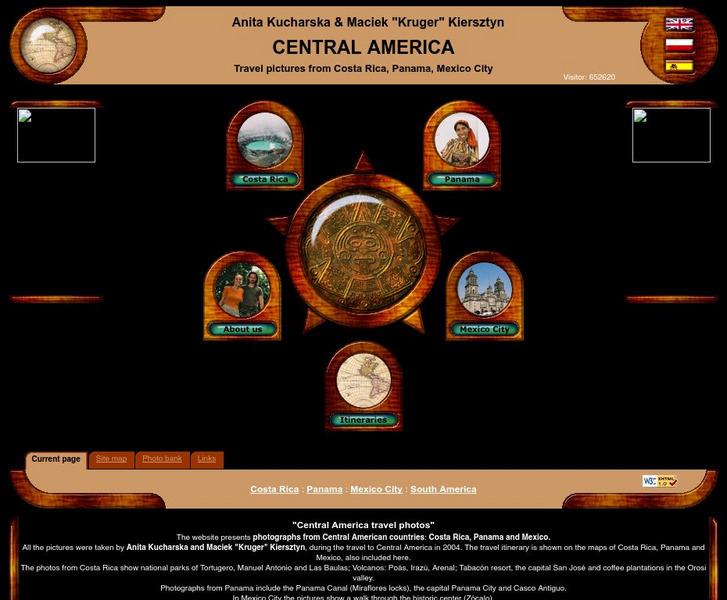
Central America Travel Pictures
Presented are photos taken during a personal trip to the Central American countries of Costa Rica, Panama and Mexico. Click on the shaded part of the map to view images.
Other
Ifip: Information and Communications Technologies in Latin America [Pdf]
The content of a slideshow presentation on the state of computer technology integration in Latin American countries in the public and private sectors. Charts display data relating income levels with computer ownership, mobile phone use,...
Other
Macrohistory and World Timeline: Rebellion Against Spain in Latin America
Read about the history of rebellions against Spanish rule and the leaders that led the independence movements in Mexico, Peru, Chile, and other Latin American countries.
BBC
Bbc: News: Country Profile: Dominican Republic
The BBC gives information about the Dominican Republic with details on geography, culture, its leaders, and its news media.
BBC
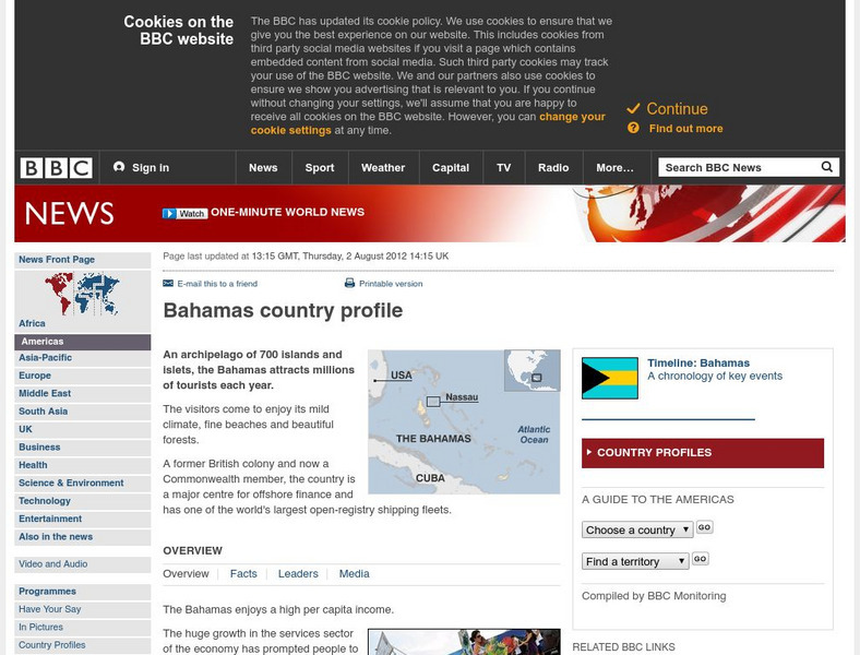
Bbc: News: Country Profile: Bahamas
BBC furnishes an overview, facts, leaders, and a media list for the Bahamas. Provided is a link to a detailed timeline of events.
BBC
Bbc: News Country Profile: El Salvador
BBC furnishes an overview, facts, leaders' information, and a media list for El Salvador. Provided is a link to a detailed timeline of events and the audio of the national anthem.
BBC
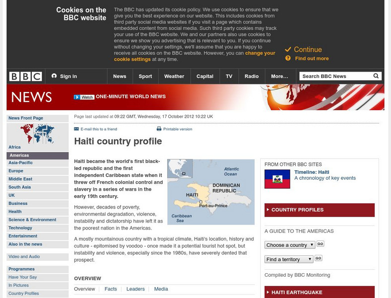
Bbc: News: Country Profile: Haiti
Discover details about Haitian history, economy, government, and news media from the BBC. Links to an audio of the national anthem and a timeline of events.
AllRefer
All Refer: Reference: Belize: Introduction & Country Profile
Provided is good reference material for learning about Belize including a map, flag, and information concerning geography, history, government, economy, and the people.
AllRefer
All Refer Reference: Guatemala: Introduction & Country Profile
Gain much meaningful knowledge about Guatemala while learning about the country's economy, people, government, military, and more. Good reference map and flag are included.
AllRefer
All Refer Reference: Honduras: Introduction & Country Profile
Good reference resource for studying about Honduras. Importance is given to the categories of geography, history, government, economy, and people. A map and picture of the flag are included.
Other
News Central: South America
A collection of links to newspapers from various countries in South America. Most are in the native language.
Biblioteca Virtual Miguel de Cervantes
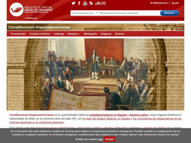
Constituciones Hispanoamericanas
Fascinating comparison of Spanish-speaking countries. Includes the flag and a general map of each country. Statistical data is provided for each country. Constitutional and government information is available for each country.
University of Texas at Austin
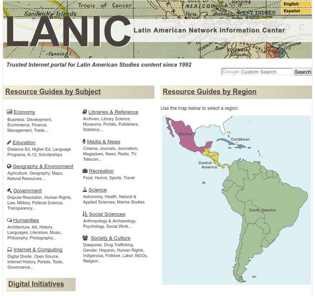
Lanic: Latin American Network Information Center
Vast network of information from and about Latin America is provided. Major topic headings include countries, economy, education, government, humanities, science, social sciences, society and culture, recreation, media and communication,...
Biblioteca Virtual Miguel de Cervantes
Datos Estadisticos De Hispanoamerica
This resource has a comparison of statistical data on all Spanish-speaking countries. Countries are compared and ranked according to land mass, population, population density, annual population growth, life expectancy, infant mortality...
Curated OER
Educational Technology Clearinghouse: Maps Etc: Central America, 1914
A map from 1914 of Central America showing political boundaries at the time, capitals and major cities, railroads, steamship routes with distances between major ports given in nautical miles, submarine telegraph cables, mountain systems...
Curated OER
Educational Technology Clearinghouse: Maps Etc: Central America, 1920
A map from 1920 of Central America showing political boundaries at the time, capitals and major cities, railroads, submarine telegraph cables, mountain systems, lakes, rivers, coastal features, banks or reefs, and the islands of Jamaica...
Curated OER
Educational Technology Clearinghouse: Maps Etc: Central America, 1922
A map from 1922 of Central America showing political boundaries at the time, capitals and major cities, railroads, submarine telegraph cables, mountain systems, lakes, rivers, coastal features, banks or reefs, and the islands of Jamaica...
Curated OER
Educational Technology Clearinghouse: Maps Etc: Central America, 1909
A map from 1909 of Central America showing political boundaries at the time, capitals and major cities, railroads, submarine telegraph cables, mountain systems, lakes, rivers, coastal features, banks or reefs, and the islands of Jamaica...
Curated OER
Educational Technology Clearinghouse: Maps Etc: Central America, 1912
A black and white map from 1912 of Central America showing political boundaries at the time, capitals and major cities, railroads, submarine telegraph cables, mountain systems, lakes, rivers, coastal features, banks or reefs, and the...


