Hi, what do you want to do?
Other
Mama Lisa's World: Songs & Rhymes of All Nations
This resource was organized by a mother who wanted to give people a sense of the nursery rhymes and songs from around the world. Find rhymes and songs from every continent, in many languages; you can even listen to some online.
Curated OER
Etc: Maps Etc: Countries, Districts, and Provinces of Africa, 1914
A map of the African continent in 1914 showing the European possessions at the time.
Natural History Museum
Natural History Museum: Dino Directory
An excellent database of over three hundred dinosaurs from around the world. They are organized by country, continent, time period, and by alphabetical order, and each dinosaur has pictures and facts about it.
Curated OER
Educational Technology Clearinghouse: Maps Etc: Post Wwi Northern Africa, 1920
A political map of the northern part of the African continent after WWI with reference to territories controlled by European countries and showing the former German territories ceded by the Treaty of Versailles to France and Britain....
United Nations
United Nations: Cartographic Section: The World Today [Pdf]
Here is an up-to-date political map of the world today. Very detailed with a good key.
Quia
Quia: World Capitals Word Search
Practice matching world capitals and the corresponding country in a word-search format.
Other
Mooney's Flag Report
Great site for doing research on flags. You can search by continent or by country. Site provides historical information and pictures of the flags themselves.
Other
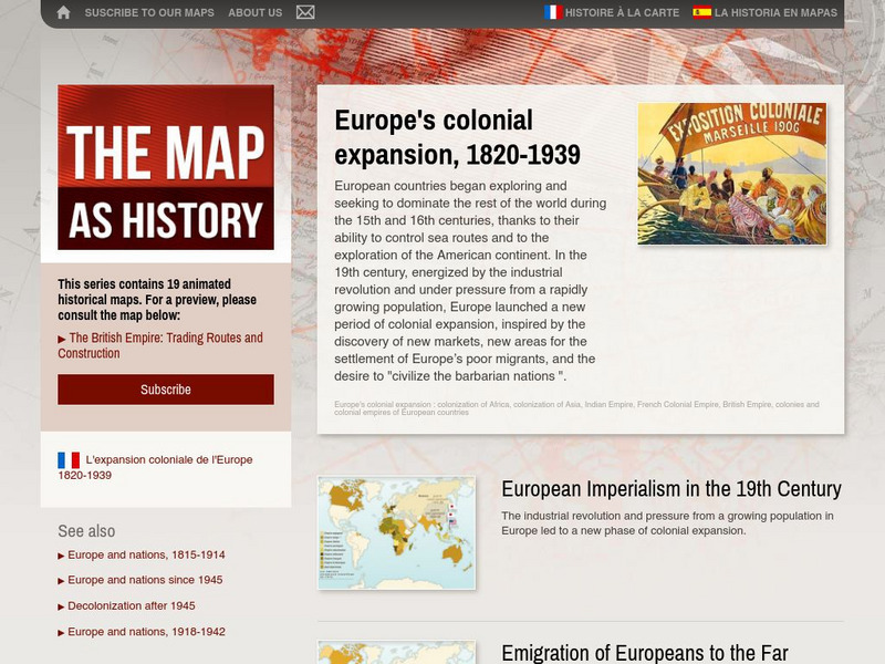
The Map as History: Europe's Colonial Expanision 1820 1939
European countries began exploring and seeking to dominate the rest of the world during the 15th and 16th centuries, thanks to their ability to control sea routes and to the discovery of the American continent. In the 19th century,...
Other
Clari Net: Local Times Around the World
Click on a continent, and then a country to find out the current time. Includes date, time, latitude and longitude, local time zone, and whether or not the country is on standard time or daylight saving time.
New York Times
New York Times: Crossword Puzzle: World Capitals
Here is an interactive & printable crossword puzzle developed by the New York Times Learning Network. The theme of this puzzle is World Capitals.
ClassFlow
Class Flow: World Geography
[Free Registration/Login Required] This flipchart is designed to quiz students about their general knowledge of World Geography. Use as a review or pre-test prior to instruction or just for fun.
Science Struck
Science Struck: The Meaning of a Vernacular Region Explained
Gives the definition of a vernacular region, one of the three main types of geographical regions, along with examples.
Curated OER
Educational Technology Clearinghouse: Maps Etc: Pre Colonial Africa, 1872
A map of Africa showing the continent prior to the Berlin Conference of 1885, when the most powerful countries in Europe at the time convened to make their territorial claims on Africa and establish their colonial borders at the start of...
Curated OER
Educational Technology Clearinghouse: Maps Etc: Drawing North America, 1872
A map exercise from 1872 for drawing North America. The map shows the general outline of the coasts, major waters and rivers, and a vertical profile cross-section of the continent from the San Francisco Bay area to Cape Hatteras....
Curated OER
Etc: Maps Etc: European Possessions of Africa, 1906
A map of Africa after the Berlin Conference of 1885, which established the European colonial territory claims on the continent. This map shows the Belgian, British, French, German, Italian, Portuguese, and Spanish claims, and the Turkish...
Curated OER
Etc: Maps Etc: Sketch Map of Mid Century Africa, Circa 1850
A map of Africa around the middle of the nineteenth century showing European interests on the continent prior to the Berlin Conference of 1885, which established their territorial claims. The majority of the continent was unexplored at...
Curated OER
Educational Technology Clearinghouse: Maps Etc: South America, 1921
A map from 1921 of South America showing the political boundaries of the time, major cities, railroads, terrain, rivers, and coastal features, and includes an insert map of the Galapagos Islands. " South America, the fourth largest grand...
Curated OER
Educational Technology Clearinghouse: Maps Etc: Colonial Africa, 1904
A map of Africa shortly after the Berlin Conference of 1885, which established the European colonial territory claims on the continent. These European and independent boundaries include Algeria and the Saharan Sphere of French Influence,...
Curated OER
Etc: Maps Etc: Europe at the Beginning of the Modern Era, 1792
A map of Europe in 1792 during the French Revolution and the beginning of the Modern Era. This map is color-coded to distinguish between various countries throughout the continent, including Great Britain, France, United Netherlands,...
Curated OER
Etc: Maps Etc: Africa Before the Berlin Conference, 1884
This is an interesting map of Africa showing the continent before the Berlin Conference of 1885, when the most powerful countries in Europe at the time convened to make their territorial claims on Africa and establish their colonial...
Curated OER
Maps Etc: The Colonization of Africa, 1870 1910
A map showing the European colonization of the African continent before and after the Berlin Conference of 1885, when the most powerful countries in Europe at the time convened to make their territorial claims on Africa and establish...
Curated OER
Educational Technology Clearinghouse: Maps Etc: Colonial Africa, 1914
A map of Africa in 1914, showing the presence of European powers, including British, French, German, Portuguese, Spanish, Italian, and Belgian possessions. Native states, major cities and major railways are also shown. This map reflects...
Curated OER
Etc: Maps Etc: Europe After the Congress of Vienna, 1815
A color map of Europe after the Congress of Vienna in 1815, which redrew the continent's political boundaries after the French Revolution, Napoleonic Wars, and the dissolution of the Holy Roman Empire. This map is color-coded to show...
Curated OER
Educational Technology Clearinghouse: Maps Etc: Africa, 1906
A map of the African continent in 1906 showing European land claims such as British East Africa, German East Africa, Portuguese East Africa, Italian Somalia, and others, and European colonies and corporate states such as Cape Colony,...


