Centers for Disease Control and Prevention
Youth and Tobacco Use
There are a number of social, emotional, and physiological reasons why teenagers start smoking, and why they continue smoking into adulthood. Help class members understand why smoking begins in youth—and how to protect themselves from...
Smarter Than Smoking
Secrets They Keep Poster
A colorful, thought-provoking infographic identifies 12 harmful chemicals found in cigarette smoke. It provides a sober warning for smokers and those exposed to secondhand smoke.
Teaching Ideas
The Victorians Fact Cards
Want to learn some quick facts about Victorian England? Check out a series of fact cards that include information about class structure, education rights, public health, and Queen Victoria herself.
USA.gov
How The Supreme Court Works
Just how does a case come before the highest court in the land? A graphic flow chart unpacks how plaintiffs come before the Supreme Court. Graphics include background on the nine justices and just how many cases they actually hear each...
The Guardian
Guardian: World News: How Well Do You Really Know Your Country?
This interactive article engages readings in a series of questions about statistics about a chosen country. Students will predict a statistical answer and receive immediate answers relative to their accuracy. Students will also be able...
Other
Flags of All Countries
A comprehensive collection of images of flags of all countries searchable by country name, by continent, by organizations, or by currency. Click on the picture of the flag for further details about the country including a map showing the...
Other
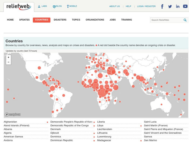
Relief Web: Countries
This resource provides information on countries throughout the world, current news, and different types of maps.
University of Pennsylvania
African Studies Center: Africa Country Maps
A collection of maps of the countries in Africa, arranged in alphabetical order.
North Atlantic Treaty Organization
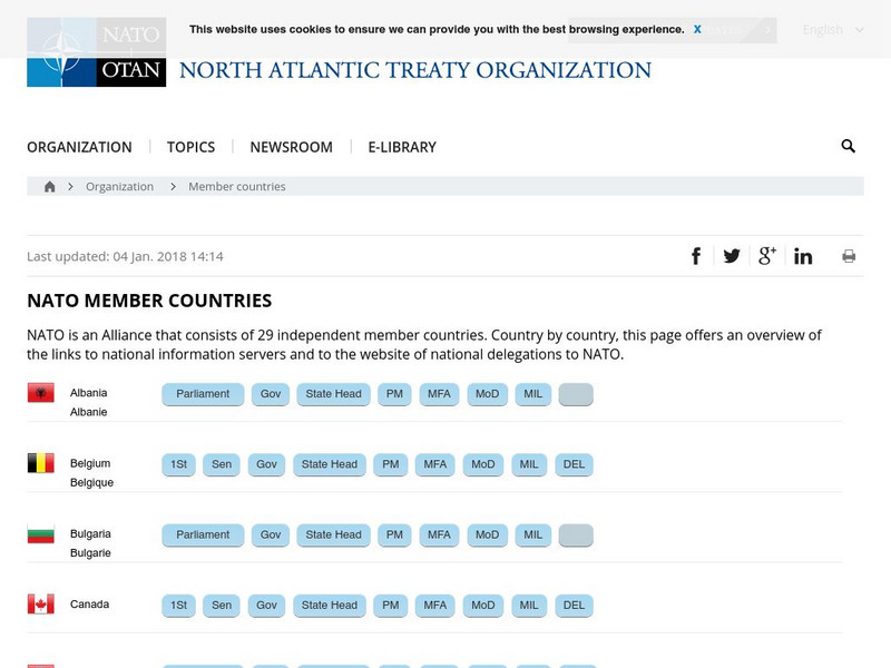
Nato: 19 Member Countries
Provides a list of all of the NATO countries along with links to their government sites. Users can find a vast amount of information about each of the member countries. A great resource for researching and learning about NATO or...
CBS
Cbs News: Middle East Countries
Discusses each country in the Middle East and how it is affected by the problems that are going on in the region. Click on the tiny map in the upper left-hand corner to access the list of countries.
Latimer Clarke Corporation
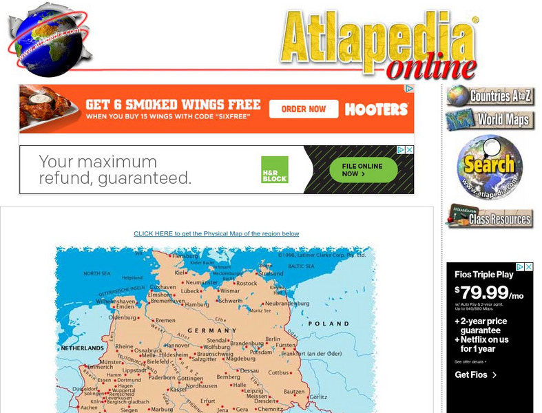
Political Map of German Speaking Countries
Map of Germany, Austria, Liechtenstein and Switzerland showing major cities and rivers, as well as neighboring countries.
Latimer Clarke Corporation
Physical Map of German Speaking Countries
Map of Germany, Austria, Liechtenstein and Switzerland showing topographical features of the German-speaking countries and their neighbors.
International Institute of Social History
International Institute of Social History: Keep the Country in Heart and the Who
From the International Institute of Social History this is "Keep the country in heart and the whole world in mind!" a Chinese political propaganda poster by an unknown designer, ca. 1967-1972.
International Institute of Social History
International Institute of Social History: Throughout the Mother Country, Glad T
From the International Institute of Social History this is "Throughout the mother country, glad tidings are spreading" a Chinese political propaganda poster by Liu Shumao, 1989.
International Institute of Social History
International Institute of Social History: The Return of Hong Kong, One Country
From the International Institute of Social History this is "The return of Hong Kong, One Country - Two Systems" a Chinese political propaganda poster by Wu Xiangfeng, 1997.
Other
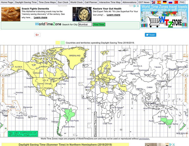
World Time Zone: Countries: Territories Operating Daylight Savings Time
Use this site to find the countries and territories operating daylight savings time and when it starts and ends.
US Energy Information Administration
Energy Information Administration: Country Analysis Brief
Contains briefs with a narrative section, a map showing the country's location, and a section listing pertinent economic and energy data for every country in the world of interest to energy policy makers.
InterKnowledge Corp.
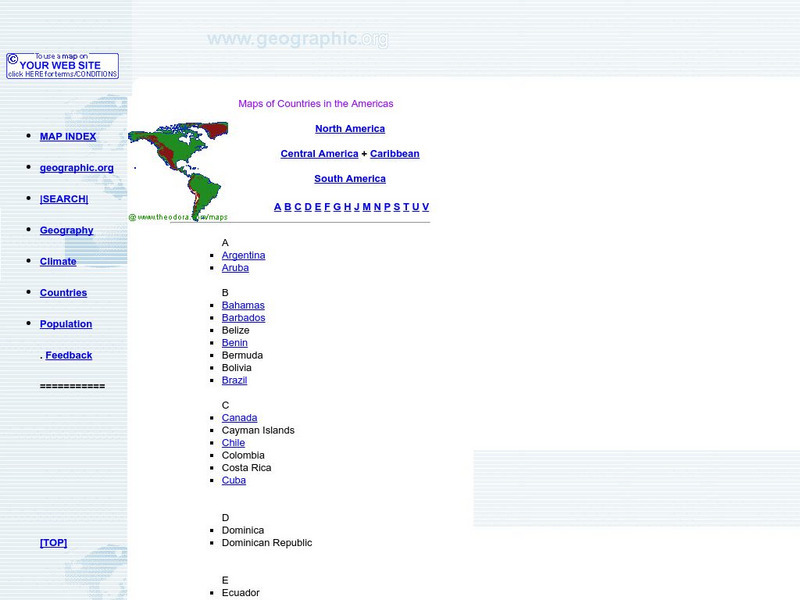
Maps of Countries in the Americas
Maps of the Americas are available on this site.
University of Texas at Austin
Perry Castaneda Library Map Collection
Maps from all over the world can be printed from this site. Find historical maps of the world; thematic maps; and world, continent, country, state, and county maps for your use.
United Nations
United Nations: Cartographic Section: The World in 1945 [Pdf]
Find out what the political world map looked like after World War II in 1945. Enlarge the map so you can see what countries belonged to the UN, which were still dependent territories, and which did not belong to the UN.
Curated OER
University of Texas: Asia 1808
This 1808 map from the library of University of Texas shows Asia. Notice the names of countries that are still in use, but also notice the former names of some countries.
Curated OER
University of Texas: Ethiopia: Political Map
A political map of the landlocked country of Ethiopia showing its major cities and highways, provisional border with Somalia, and its neighboring countries. From the Perry Castaneda Collection.
Houghton Mifflin Harcourt
Holt, Rinehart and Winston: World Atlas: Suriname
View an excellent map of Suriname accompanied by current, detailed information about this interesting country.
Other
Athropolis: Map of the Arctic
This is a useful map for orienting students to where the Canadian Arctic lies in relation to other Arctic countries. The centre of the map is the North Pole. Clicking on the map brings up weather reports for various locations.
Other popular searches
- Spanish Speaking Countries
- Francophone Countries
- Continents and Countries
- African Countries
- Spanish Countries
- Third World Countries
- Countries in Europe
- Countries of the World
- European Countries
- Middle East Countries
- Comparing Countries
- Compare and Contrast Countries


