National Geographic
National Geographic: My Wonderful World: World Wall Maps (Pdf)
Make your own full color or black and white mosaic wall map on your own printer. World maps, continents, Asian regions, and oceans are available for downloading, printing, and assembling.
Geographyiq
Geography Iq
Detailed geographical information on any country is available at this site. Within the World Map section, you can get facts and figures about each country's geography, demographics, government, political system, flags, historical and...
Utah Education Network
Uen: The World Game
Play the World Game to become familiar with continents, oceans, countries, and states.
ClassFlow
Class Flow: Maps and Globes
[Free Registration/Login Required] This flipchart reviews map and globe features. The seven continents, four oceans, and city-county-state-country relationships are also explained. Student assessment on directions is included.
Houghton Mifflin Harcourt
Harcourt: School Publishers: World Atlas: The World
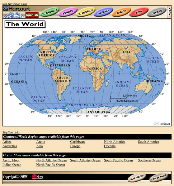
Provides continent, country, and ocean floor maps from all over the world. Click on a continent's name to access the detailed maps which also include statistical facts on each available country.
SMART Technologies
Smart: World Map
This lesson features a world map with labeled countries, a global map, and an interactive map of the seven continents.
Curated OER
Educational Technology Clearinghouse: Clip Art Etc: James D. Dana
James Dwight Dana (1813 -1895) was an American geologist, mineralogist and zoologist. He made important studies of mountain building, volcanic activity, and the origin and structure of continents and oceans.
Smithsonian Institution
National Museum of American History: Transportation in America Before 1876
In 1800, the United States was made up of 16 states, all east of the Appalachians, and most people lived within 50 miles of the Atlantic. Oceans and rivers were the nations' highways, providing the only viable way to travel long...
National Geographic
National Geographic: Geostories: Tracking Animal Migrations
This interactive Geostory illustrates how animal tracking data helps us understand how individuals and populations move within local areas and migrate across oceans and continents.
Other popular searches
- Oceans and Continents
- 7 Continents and Oceans
- Continents and Oceans Map
- Label Oceans and Continents
- World Continents and Oceans
- Earths Oceans and Continents
- Canada Oceans and Continents
- Oceans and Continents Maps
- Map of Continents and Oceans
- Write in Continents and Oceans


