Other
Flags of All Countries
A comprehensive collection of images of flags of all countries searchable by country name, by continent, by organizations, or by currency. Click on the picture of the flag for further details about the country including a map showing the...
University of Texas at Austin
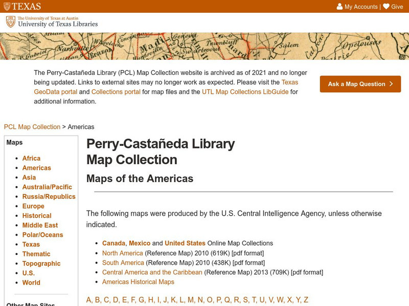
Perry Castaneda Library Map Collection
Maps from all over the world can be printed from this site. Find historical maps of the world; thematic maps; and world, continent, country, state, and county maps for your use.
National Geographic
National Geographic: My Wonderful World: World Wall Maps (Pdf)
Make your own full color or black and white mosaic wall map on your own printer. World maps, continents, Asian regions, and oceans are available for downloading, printing, and assembling.
Central Intelligence Agency
Cia: World Factbook: Regional and World Maps
Website from the Central Intelligence Agency (CIA) provides interactive reference material for regional and world maps in the World Factbook Library. Students and teachers can search for information about any country in the world.
Other
Map: Rulers
An interactive map to pull up rulers of nations. Click on a country and a historical list of rulers will show.
University of Texas at Austin
Univerisity of Texas: Maps of the Americas
A large collection of maps of all countries in the Americas including relief maps, political maps, and reference maps.
abcteach
Abcteach: Maps
[Free Registration/Login Required] Find outline maps of the continents and the United States and Canada, as well as other country and city maps.
Geographyiq
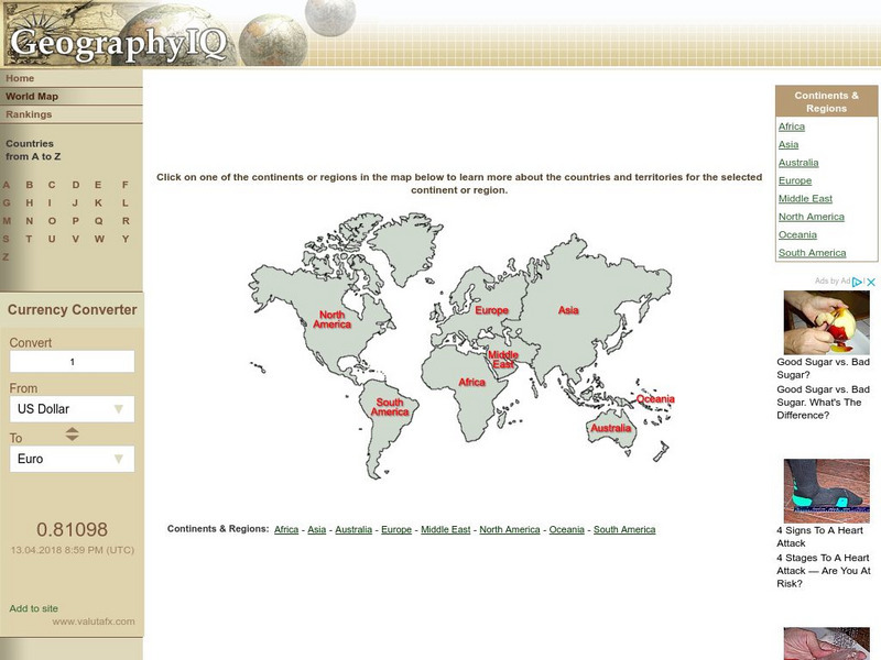
Geography Iq: World Map
Online world atlas allows you to click on one of the continents or regions in the map to learn more about the countries and territories for the selected continent or region.
Curated OER
Etc: Maps Etc: Countries, Districts, and Provinces of Africa, 1914
A map of the African continent in 1914 showing the European possessions at the time.
Houghton Mifflin Harcourt
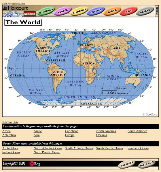
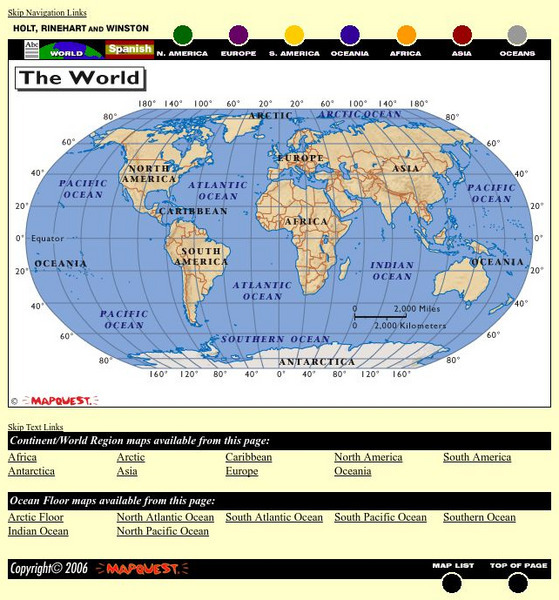
Harcourt: School Publishers: World Atlas: The World
Provides continent, country, and ocean floor maps from all over the world. Click on a continent's name to access the detailed maps which also include statistical facts on each available country.
Curated OER
Educational Technology Clearinghouse: Maps Etc: Colonial Africa, 1904
A map of Africa shortly after the Berlin Conference of 1885, which established the European colonial territory claims on the continent. These European and independent boundaries include Algeria and the Saharan Sphere of French Influence,...
Curated OER
Etc: Maps Etc: European Possessions of Africa, 1906
A map of Africa after the Berlin Conference of 1885, which established the European colonial territory claims on the continent. This map shows the Belgian, British, French, German, Italian, Portuguese, and Spanish claims, and the Turkish...
United Nations
United Nations: Cartographic Section: The World Today [Pdf]
Here is an up-to-date political map of the world today. Very detailed with a good key.
Columbia University
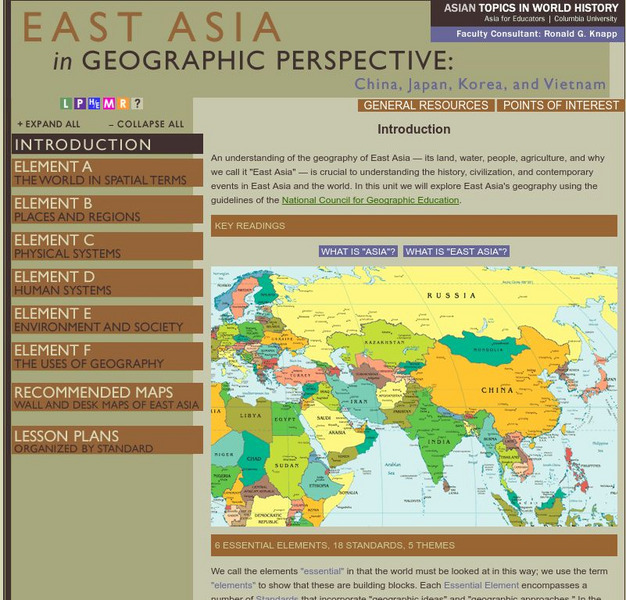
Columbia University: Asia for Educators: East Asia in Geographic Perspective
This teacher resource is devoted to teaching about the geographic history of East Asia. Includes standards information and links to related lesson plans. Also features a downloadable world map (PDF, requires Adobe Reader).
Other
The True Size
In an effort to illustrate the spatial concepts of maps, this program provides the ability to select countries or continents and move them over others to better visualize the sizes of each of them.
Other
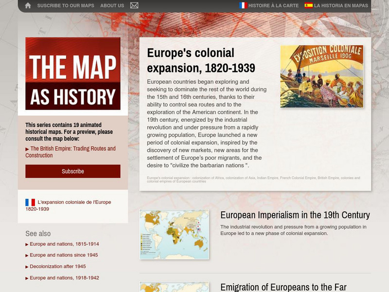
The Map as History: Europe's Colonial Expanision 1820 1939
European countries began exploring and seeking to dominate the rest of the world during the 15th and 16th centuries, thanks to their ability to control sea routes and to the discovery of the American continent. In the 19th century,...
University of Texas at Austin
Ut Library Online: Historical Map Collection
This extensive collection from the University of Texas Library Online of detailed maps of many regions of the Earth.
Other
Escolar: Mapas De Continentes, Mapas Politicos Y Mapas De Paises
Check out this sizable selection of different maps of continents, countries, and states. Each page will give you additional information about the particular country or state.
Houghton Mifflin Harcourt
Holt, Rinehart and Winston: World Atlas
This site provides geographic maps of the world by continent, ocean, and country.
Curated OER
Educational Technology Clearinghouse: Maps Etc: Pre Colonial Africa, 1872
A map of Africa showing the continent prior to the Berlin Conference of 1885, when the most powerful countries in Europe at the time convened to make their territorial claims on Africa and establish their colonial borders at the start of...
Curated OER
Educational Technology Clearinghouse: Maps Etc: Drawing North America, 1872
A map exercise from 1872 for drawing North America. The map shows the general outline of the coasts, major waters and rivers, and a vertical profile cross-section of the continent from the San Francisco Bay area to Cape Hatteras....
Curated OER
Etc: Maps Etc: Physical and Political Map of Africa, 1879
Map of pre-colonial Africa, showing the predominately native countries and territories of the African continent in 1879. The counties include the Barbary States of Morocco, Algeria, Tunis, Tripoli and Fezzan, the Egyptian territories of...
Curated OER
Etc: Maps Etc: Sketch Map of Mid Century Africa, Circa 1850
A map of Africa around the middle of the nineteenth century showing European interests on the continent prior to the Berlin Conference of 1885, which established their territorial claims. The majority of the continent was unexplored at...


