Hi, what do you want to do?
PBS
Pbs Learning Media: South America Interactive Map
This interactive map explores the continent and countries of South America. Through political, physical, population, and climate map layers and individual country views, learn about the boundaries that define the continent's 12 sovereign...
Georgia Department of Education
Ga Virtual Learning: Ap Human Geography: Language and Religion
AP Human Geography course unit on Language and Religion compares world language, religion and looks at conflict within. Comprehensive resources, multi-media sources and interactive material.
National Geographic
National Geographic: European Borders Through History
Lesson in which students use maps to explore how European political borders have changed over time. Maps after WWI, WWII and European Union provided for comparison.
National Geographic
National Geographic: Political Borders
Lesson in which students explore the concept of borders and regions by examining culture and physical location and determine how and where borders should be placed. Lesson contains two activities with maps.
Arcademics
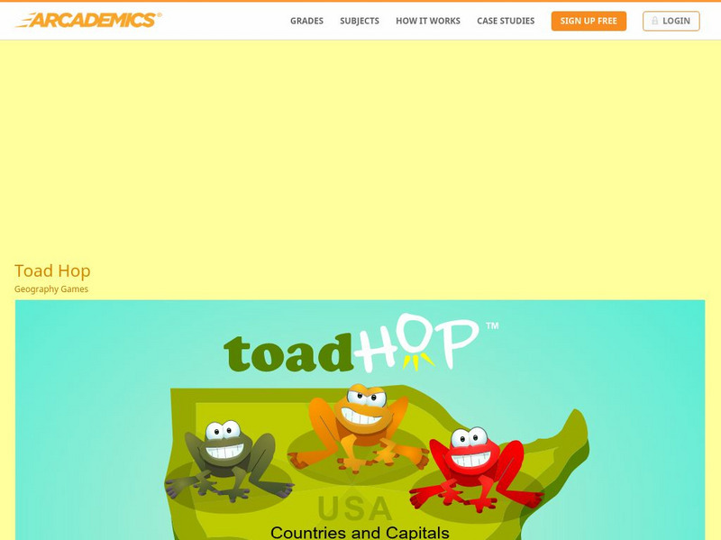
Arcademics: Toad Hop
Toad Hop is a multiplayer geography game that allows students from anywhere in the world to race against each other while matching countries and capitals!
Other
Asia Society: Policy
A comprehensive storehouse of all types of information on Asia, both current and past: maps and statistics, Asian food, travel guides, photographs, articles, timelines, and more. Asia Source is the work of the Asia Society, a national...
US Department of State
U.s. Department of State: Youth Passport Activity Book [Pdf]
Students will virtually travel the world and complete a passport. Activities include researching flags of countries, stamps, coloring, and completing a puzzle. At the end of the lesson, students will have their very own simulated passport!
Science Struck
Science Struck: The Meaning of a Vernacular Region Explained
Gives the definition of a vernacular region, one of the three main types of geographical regions, along with examples.
National Geographic
National Geographic: Places in the Park
Modeling the use of maps in and out of school can help students to recognize the value of maps and gain confidence with them. Using maps of places that are familiar to students will strengthen their spatial thinking skills before...
The History Cat
The History Cat: Containing Communism
Describes how the Soviets under Stalin managed to infiltrate Eastern European countries and establish Communist governments, dividing the continent into East and West with a symbolic Iron Curtain separating the two. America scrambled to...
American Geosciences Institute
American Geosciences Institute: Earth Science Week: Ring of Fire
Students identify plate boundaries as well as continents, countries, and bodies of water to become familiar with an area known as the "Ring of Fire."


