Hi, what do you want to do?
Curated OER
Let's Have a Lesson Within a Lesson
Students role-play the role of a student who does not comprehend the language the lesson is being instructed in. Using the internet, they research the characteristics, distribution and migration of human populations over time. In groups,...
Curated OER
Help Save the Polar Bear
Young scholars use ice cubes to demonstrate how the polar ice caps are melting and how it effects the polar bears. In this polar bear lesson plan, the teacher explains how polar bears live on the north pole and how they are having...
Curated OER
Travelogs
Pupils make travelog journals to send to acquaintances in other states in order to receive mail in return. They make scrapbooks with the return mail they receive.
Curated OER
Cartogram of the Great Compromise
Students create cartograms of populations during 1790.
Space Awareness
How Light Pollution Affects the Stars: Magnitude Readers
Did you know light can decrease visibility? Light pollution absolutely makes it more difficult to see stars. Scholars build a simple magnitude reader to determine the magnitude of stars. They use these data to estimate the impact of...
Curated OER
Leif Erikson Day
Leif Erikson Day lessons breathe life into social studies classroom explorations.
Curated OER
African Cities Are Modern
Students create a mobile that compares the way of life in modern cities in Africa to rural villages in Africa.
Curated OER
Ticky Plans His Trip to Antarctica to See Tacky
First graders participate in creative problem solving activity to get from Utah to the Atlantic Ocean.
Curated OER
The Plains Indians
Students have a better understanding of another culture other than their own. This help them to see that there were other people living in this region before us.
Curated OER
State of Arkansas Travel Brochure
Eighth graders design a travel brochure to persuade others to visit Arkansas. They depict particular points of interest they decide are the best in the state.
National Geographic
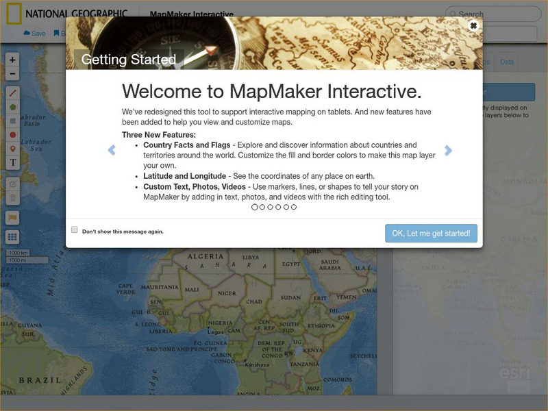
National Geographic: Mapmaker Interactive
Interactive map maker in which students can manipulate world maps adding layers and data with multiple sources of information.


