Curated OER
The Legend of the Indian Paintbrush: Native American Life
Students read," The Legend of the Indian Paintbrush" by Tomie dePaola and discuss the way legends are passed down orally. They then create their own legend and illustrate it on a simulated "Buffalo Skin" made from brown paper.
Curated OER
Planet Earth
Students explore and analyze data from different maps in order to explain geographic diversity among the continents. Student groups research continents' physical features and examine how they contribute to quality of life for inhabitants.
Curated OER
May We Present Planet Earth?
Students draw a map to scale. They illustrate knowledge of how to use DOGS TAILS on a map. Students identify the main parts of a map. They identify and illustrate the major features necessary for sustaining a quality of life for a society.
Curated OER
State Research
Students apply previous knowledge of the United States to label a classroom map and then work independently to complete an online scavenger hunt. This lesson is intended for an upper-elementary classroom studying American History and/or...
Curated OER
Chart Interpretation
Learners study the use of a nautical chart and how to obtain information from it. They describe and differentiate the basic topographic characteristics of a chart and demonstrate the use of nautical tools used to plot fixed points on a...
Other
Map Zone: Compasses and Directions
Sharpen map skills by exploring these map pages. Learn about the compass rose, different norths, and how to use a compass.
Other
Childu: Compass:over the Edge
Do you know what a 'compass rose' is? Follow this interactive animation to learn how to use a magnetic compass properly. Easy to understand; aimed for younger students.
Utah Education Network
Uen: Expanding Map Vocabulary
First graders will be able to name the vocabulary words in Navajo, Ute, and Spanish for the cardinal directions.
Online Learning Haven
Finding Your Way: How to Read a Compass
A great explanation on what a compass is and how to read one. After the explanation, a step-by-step guide to drawing your own compass is given.
E-learning for Kids
E Learning for Kids: Math: Bus Station: Position on a Map
Help Jamal read maps, describe directions, and identify coordinates in this series of interactive exercises.
Geographypods
Geographypods: Map Skills
A collection of highly engaging learning modules on various topics within mapping skills. Covers map symbols, how to use four- and six-figure grid references, cardinal directions, distance, contour mapping, and drawing cross-sections....
PurposeGames
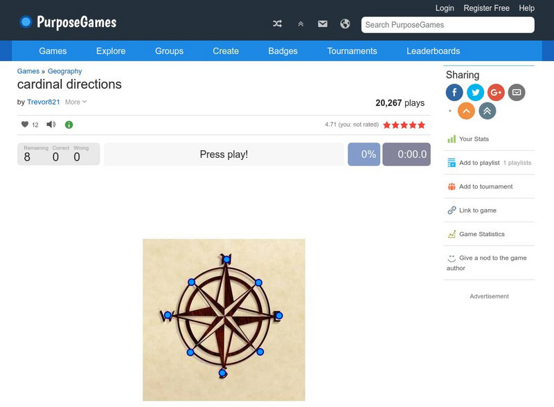
Purpose Games: Cardinal Directions
Play this game to test your knowledge on cardinal and intermediate directions.
US Mint
United States Mint: In Mr. Lincoln's Shoes [Pdf]
Using the study of President Abraham Lincoln as a guide, students demonstrate basic map skills including cardinal directions and how to use a compass rose.
ClassFlow
Class Flow: Maps Globe Skills
[Free Registration/Login Required] This flipchart discusses landforms, mapping and the Compass Rose. Students can practice using Cardinal Directions and use Activotes.
SMART Technologies
Smart: Geography Unit: Maps
This geography unit is designed to follow the 1st Grade geography skills required in Virginia. Students are expected to use cardinal directions, read map keys and understand map symbols, as well as identify our city and capital.
PBS
Pbs Learning Media: Let's Learn
This collection of resources for children ages 3-8 are drawn from the public television series Let's Learn, a partnership between the WNET Group and the New York City Department of Education. Let's Learn aims to provide our young...
CK-12 Foundation
Ck 12: Fourth Grade Science: Earth Science: Introduction to Earth's Surface
[Free Registration/Login may be required to access all resource tools.] Explains how to find a location and direction on Earth's surface. Discusses topography and various landforms and how they form.
ClassFlow
Class Flow: Introduction to Maps
[Free Registration/Login Required] Students are expected to: explain the purpose of a map; identify and use a compass rose; use a grid to locate objects on maps; and use a map key. Activities are hands-on with students manipulating...
ClassFlow
Class Flow: Maps and Globes
[Free Registration/Login Required] This flipchart reviews map and globe features. The seven continents, four oceans, and city-county-state-country relationships are also explained. Student assessment on directions is included.
Utah Education Network
Uen: Lesson Plan: Map Trap
Lesson to reinforce maps skills and concepts. Students map locations around their school and use world maps to locate major landmarks.
E-learning for Kids
E Learning for Kids: Science: Antarctica: Penguins: What Is Motion?
What do you know about Emperor penguins? Ernie is researching them and their migration across the continent.


