Hi, what do you want to do?
National Geographic
National Geographic: Cardinal Directions and Maps
What are the cardinal directions and how are they used? Discover them and practice using them to find places on maps.
PurposeGames
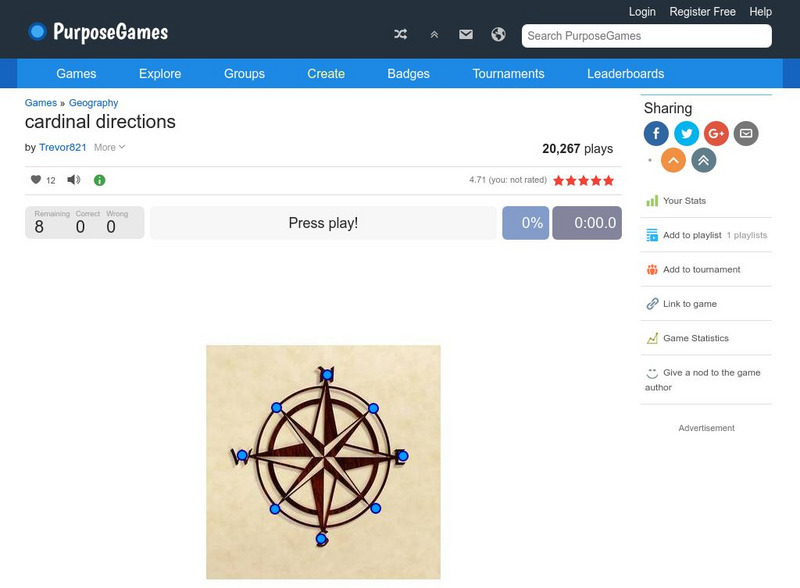
Purpose Games: Cardinal Directions
Play this game to test your knowledge on cardinal and intermediate directions.
Sumanas
Sumanas Inc: Life: The Science of Biology: Time Compensated Solar Compass
How do birds know what direction to fly when they fly south for the winter? This tutorial explains circadian rhythm using an experiment performed with pigeons.
Utah Education Network
Uen: Expanding Map Vocabulary
First graders will be able to name the vocabulary words in Navajo, Ute, and Spanish for the cardinal directions.
Geographypods
Geographypods: Map Skills
A collection of highly engaging learning modules on various topics within mapping skills. Covers map symbols, how to use four- and six-figure grid references, cardinal directions, distance, contour mapping, and drawing cross-sections....
E-learning for Kids
E Learning for Kids: Math: Group of Pyramids: Capacity and Position
On this interactive website students practice various math skills using a real life scenario at the pyramids. Those skills include comparing capacity of three or more containers, using compass directions to describe locations, and using...
Mocomi & Anibrain Digital Technologies
Mocomi: What Is a Compass?
Provides basic information about compass points.
E-learning for Kids
E Learning for Kids: Science: Antarctica: What Is Position and Reference Point?
With all the snow and ice in Antarctica, it's easy to get lost. Help Tim find his way using a map and a compass.
TeachEngineering
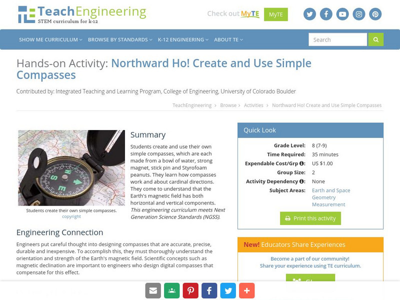
Teach Engineering: Northward Ho!
In this activity, students will create their own simple compass, be able to explain how a compass works, understand that the Earth's magnetic field has both horizontal and vertical components, and learn more about cardinal directions.
SMART Technologies
Smart: Geography Unit: Maps
This geography unit is designed to follow the 1st Grade geography skills required in Virginia. Students are expected to use cardinal directions, read map keys and understand map symbols, as well as identify our city and capital.
E-learning for Kids
E Learning for Kids: Math: Bus Station: Position on a Map
Help Jamal read maps, describe directions, and identify coordinates in this series of interactive exercises.
TeachEngineering
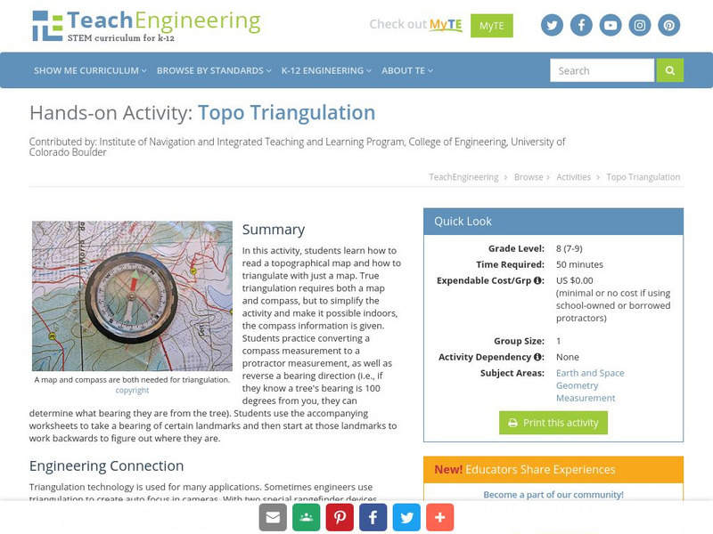
Teach Engineering: Topo Triangulation
In this activity, students will learn how to read a topographical map and how to triangulate with just a map. True triangulation requires both a map and compass, but to simplify the activity and make it possible indoors, the compass...
Science Buddies
Science Buddies: Are We There Yet? Test How Migratory Birds Navigate
How do you figure out how to get places? Do you ask for directions, look at a map, or consult a compass? There are many ways for people to figure out how to travel from one place to another, but how do other animals do it? In this...
ClassFlow
Class Flow: Christopher Columbus
[Free Registration/Login Required] Students recognize why we celebrate Columbus Day as related to the story of Christopher Columbus. Students explore the route taken from Spain to the Americas and how long this voyage took by using a...
ClassFlow
Class Flow: Introduction to Maps
[Free Registration/Login Required] Students are expected to: explain the purpose of a map; identify and use a compass rose; use a grid to locate objects on maps; and use a map key. Activities are hands-on with students manipulating...
TeachEngineering
Teach Engineering: Classroom Triangles
In this activity, students will use bearing measurements to triangulate and determine objects' locations. Working in teams of two or three, students must put on their investigative hats as they take bearing measurements to specified...
The Franklin Institute
Franklin Institute: Make Your Own Weather Station
This page, provided by the Franklin Institute, shows you how to become an amateur meteorologist. Directions on how to construct a weather station include the barometer, hygrometer, rain gauge, weather vane, and compass.
ClassFlow
Class Flow: Maps Globe Skills
[Free Registration/Login Required] This flipchart discusses landforms, mapping and the Compass Rose. Students can practice using Cardinal Directions and use Activotes.
PBS
Pbs Learning Media: Let's Learn
This collection of resources for children ages 3-8 are drawn from the public television series Let's Learn, a partnership between the WNET Group and the New York City Department of Education. Let's Learn aims to provide our young...
US Mint
United States Mint: In Mr. Lincoln's Shoes [Pdf]
Using the study of President Abraham Lincoln as a guide, students demonstrate basic map skills including cardinal directions and how to use a compass rose.
TeachEngineering
Teach Engineering: Where Is Here?
In this lesson, students are shown the very basics of navigation. The concepts of relative and absolute location, latitude, longitude and cardinal directions are discussed, as well as the use and principles of a map and compass.
Science Education Resource Center at Carleton College
Serc: Magnets and Electricity: Creating Magnetism With Electricity
Students will work in small groups to design at least one complete circuit using multiple materials. They will record their observations of how they created an electrical circuit using diagrams and notes in their journals. Using a...
PBS
Pbs: Rough Science: Weather Station
PBS asks users to imagine that they are in the tropics and need to get a reliable weather forecast. It provides instructions on how to build a wind vane, construct a compass, make a barometer and find the dew point.


