University of Calgary
Greek Colonization of the Mediterranean
Interesting map of Greek colonization around 650 B.C. Also includes areas of Etruscan and Phoenician settlements.
National Geographic
National Geographic: Map of Nebraska
Basic outine map of the state of Nebraska, including major cities.
Curated OER
Etc: Maps Etc: United States Showing Political Divisions, 1919
A map from 1919 of the Unites States showing state boundaries and capitals, major cities and towns, mountain systems, lakes, rivers, and coastal features.
Other
Time Zones for P Cs
This site from Time Zones for PCs provides a colorful, interactive maps of the United States and the world. Click on one of the starred cities to find out what time it is there.
Ducksters
Ducksters: Geography Games: Capital Cities of the United States
Play this fun geography map game to learn about the capitals of the 50 states of the United States.
ClassFlow
Class Flow: Maps and Globes
[Free Registration/Login Required] This flipchart reviews map and globe features. The seven continents, four oceans, and city-county-state-country relationships are also explained. Student assessment on directions is included.
Library of Congress
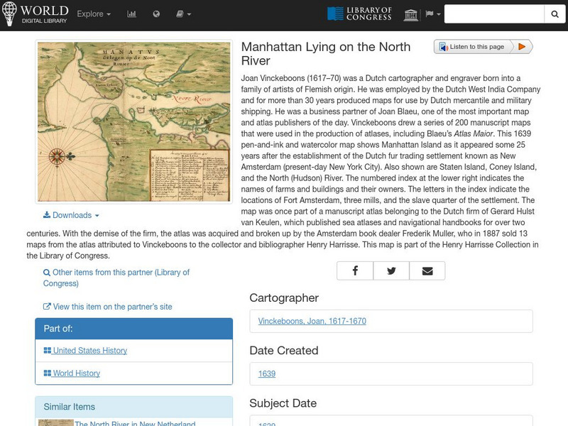
World Digital Library: Manhattan Lying on the North River
A historic map of Manhattan created by cartographer Joan Vinckeboons around 1639 for the Dutch West India Company. A feature on the page allows the visitor to listen to and read the accompanying descriptive text in seven different...
Mex Connect
Mexconnect: Chihuahua, Mexico
This resource provides information on Chihuahua, a state in Mexico. Includes a map, pictures, and information about the state and cities.
Curated OER
Etc: Maps Etc: United States City Distributions, 1906
A map from 1906 of the United States showing the general distribution of cities and towns at the time. The dots on this map show cities and towns, the largest cities are shown by the largest dots. - Frye's First Steps in Geography, 1906.
Curated OER
Etc: Maps Etc: United States Cities and Towns, 1901
A map from 1901 of the contiguous 48 states showing the distribution pattern of the major cities and towns at the time. The larger dots represent the major manufacturing centers and greater population.
Curated OER
Etc: Maps Etc: Cities and Towns of the United States, 1898
A map from 1898 of the contiguous 48 states showing the distribution pattern of the major cities and towns at the time. The size of the dots indicate comparative populations. "Most of the manufacturing of the world is carried on in...
Curated OER
Educational Technology Clearinghouse: Maps Etc: Kansas, 1904
A map from 1904 of Kansas showing the State capital of Topeka, major cities and towns, railroads, and rivers. "Kansas (Garden of the West) - Organized as a Territory in 1854; made a State in 1861. Area, 82,080 square miles; population,...
Curated OER
Etc: Maps Etc: The United States Cities and Towns, 1897
A base map from 1897 of the contiguous 48 states showing the distribution pattern of the major cities and towns at the time. The size of the dots indicate comparative populations.
Curated OER
Educational Technology Clearinghouse: Maps Etc: Mexico, 1902
A map from 1902 of Mexico showing the states and state capitals, major cities and towns, trunk and secondary railroad lines, mountains, and coastal features. This map shows isotherms of mean annual temperature in degrees Fahrenheit, and...
Curated OER
Educational Technology Clearinghouse: Maps Etc: Texas, 1898
A map from 1898 of Texas showing the capital at Austin City, principal cities and towns, railroads, rivers, and coastal features. "Lone Star State. Origin of name not definitely known; supposed by some to have been name of Indian tribe....
Curated OER
Educational Technology Clearinghouse: Maps Etc: Utah, the Salt Lake State, 1921
A sketch map from 1921 of Utah, showing its capital, Salt Lake City, and surrounding cities Ogden and Provo City.


