United Nations
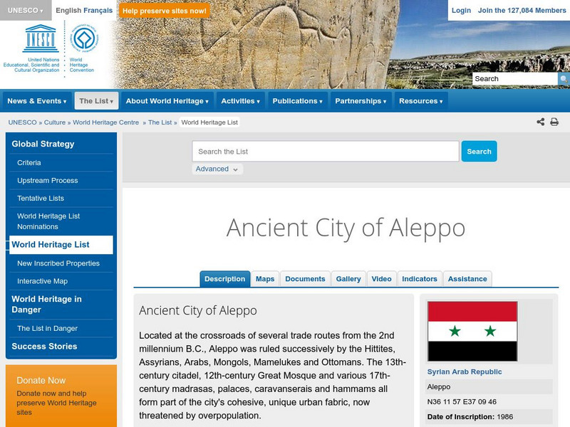
Unesco: Ancient City of Aleppo
The city of Aleppo in Syria goes back to the second millennium BC. Situated at the intersection of important trade routes, it was at various times under the rule of Hittites, Assyrians, Arabs, Mongols, Mamelukes, and Ottomans. This World...
United Nations
Unesco: Ancient City of Damascus
Damascus in Syria was founded in the third millennium BC. Its long history reveals the influences of many ancient civilizations, most particularly the Hellenistic, Roman, Byzantine and Islamic civilizations. This World Heritage website...
Enchanted Learning
Enchanted Learning: Australia: Geography, States and Territories, Population
Facts about Australia's geography, including population, government and economy, largest cities, and landmarks such as the Great Barrier Reef and more.
World History Encyclopedia
World History Encyclopedia: Achaean League
Illustrated encyclopedia entry on the Achaean League, a federation of Greek city-states during the 3rd and 2nd centuries BCE. Site includes timeline, maps, photos and bibliography.
World History Encyclopedia
World History Encyclopedia: Agrigento
Overview of Agrigento, Greek city-state founded on the south coast of Sicily, and provides information on architecture and life of ancient Greek civilization. Site contains photos, maps and links to further reading.
Nations Online Project
Nations Online: Singapore
Features a country profile and travel guide to Singapore, background details, and numerous links to in-depth information on the city-state's culture, history, geography, economy, environment, population, news, tourism, government, and more.
TeachEngineering
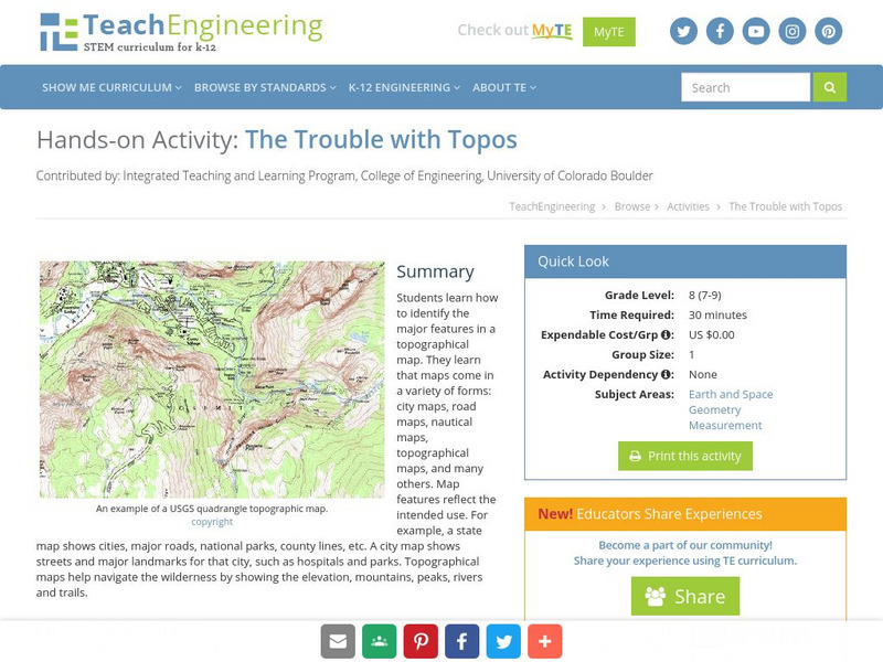
Teach Engineering: The Trouble With Topos
Students learn how to identify the major features in a topographical map. They learn that maps come in a variety of forms: city maps, road maps, nautical maps, topographical maps, and many others. Map features reflect the intended use....
Other
Official City Sites: Georgia
Take a look at the cities in Georgia: Atlanta, Athens, Augusta, Columbus, and Savannah. Views will see maps, find data on each city, and get a simple overview of each city's offerings.
University of Texas at Austin
Ut Library: Perry Castaneda Maps of Massachusetts
A collection of current and historic maps of Massachusetts, along with maps of cities and national parks in the state.
Yale University
The Yale Map Collection: Online Maps
Yale University provides us with one of the largest collection of maps in the United States. Here you can view historical online maps covering a variety of subjects.
Other
Didactalia: Mapas Interactivos: Capitals of Brazil's States
An interactive map to practice studying the capital cities of Brazil's states. You are given the name of a capital and must locate it on the map. Available in multiple languages.
Cayuse Canyon
The Us50: Washington State
Features excellent information regarding the state of Washington history, famous people, cities, geography, state parks, tourism, and historic sites. A fact sheet of information and a quiz are also available.
Mex Connect
Mex connect.com: Map of Michoacan
MexConnect offers a map of Michoacan that shows the locations of the major cities located within.
Other
State of Michigan: Mi Kids
Kids don't have to be residents of Michigan to enjoy this site! There is lots of information as well as fun activities contained in six sub-categories: Yikes! Central (safety), sightseeing, way back when, you.gov, our backyard, and map it.
Other
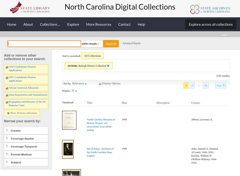
State Library of North Carolina: From Crossroads to Capital: History of Raleigh
A collection of maps, photographs, and historical documents that explore the growth of the city of Raleigh, North Carolina, from its earliest years onward.
University of Washington
The Great Depression in Washington State: Hoovervilles and Homelessness
Information about the Hoovervilles in Seattle, Washington, and surrounding cities during the Great Depression. Find maps that show the locations of shack towns around the city, and follow hyperlinks that give a deeper look at...
Library of Congress
Loc: Illinois Entered the Union 21st State
A brief history of Illinois including the origin of its name and famous landmarks. Features a historic map, a 1913 photograph of the city a
Alabama Learning Exchange
Alex: Plotting Points in Alabama
The students will be able to use coordinates to find locations of specific cities on a map of Alabama.
Cool Fire Technology
Map of the State of Mississippi
A map of the state of Mississippi showing major highways and cities.
Other
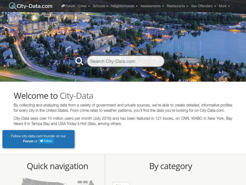
City Data
A great source for finding stats and data about U.S. cities compiled from a variety of government and commercial sources. Profiles both large and small cities and includes maps, pictures, population, income and geographical data.
Geographic
Mexico (Maps)
Maps of Mexico, including one with major cities, and another with the Mexican states.
Ducksters
Ducksters: United States Geography for Kids: New Hampshire
Kids learn facts and geography about the state of New Hampshire including symbols, flag, capital, bodies of water, industry, borders, population, fun facts, GDP, famous people, and major cities.
Texas State Library and Archives Commission
Texas State Library and Archives Commission: Texas Joins the Battle: Schedule of Houston and Texas Central Railway, 1879
See what cities were connected via the Houston and Central Texas Railway after the Civil War by looking at this railway schedule from November 7, 1879. This series of primary source documents details the growth of interconnectivity of...
NOAA
Noaa: Earth System Research Laboratory: Psd: Interactive Climate Map of u.s.
Investigate climate trends across the United States by clicking on individual states and then specific cities. Data is presented from 1961-1990.
