Hi, what do you want to do?
Other
Honolulu Hi 5: Cool Maps With Awesome Weather Data Across 1,219 Us Cities
Explore the weather in states and cities across the United States. Two maps with accompanying graphs are provided. The first indicates the number of comfortably warm summer days a place has and the second shows the temperature and how...
City University of New York
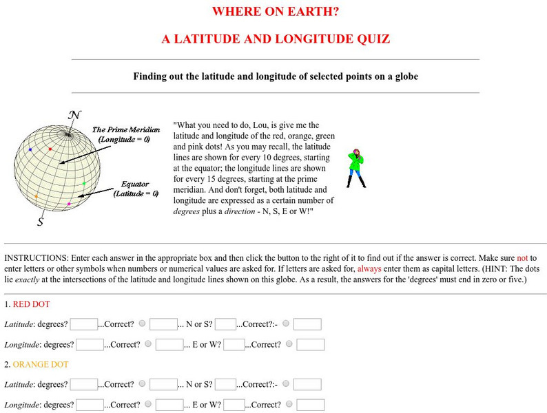
Virtual Geology: Where on Earth: A Latitude and Longitude Quiz
This quiz starts with select points on a globe. Students must determine the latitude, longitude, and direction for each point.
US Energy Information Administration
U.s. Eia Energy Kids: Nonrenewable Oil (Petroleum)
Provides good information about oil made from petroleum. Covers production, offshore drilling, fuel products made from crude oil, the refining process, and environmental issues. Includes helpful charts and maps.
Virginia History Series
Virginia History Series: Virginia State History 20th Century (1921 1940) [Pdf]
The Roaring Twenties was a time of great prosperity in America and Virginia. However, it ended with a bust that shook our country to its core. Imagine the culture of this time with the help of pictures, charts, and maps. This slideshow...
Sophia Learning
Sophia: Note Taking: Concept Maps and Flow Charts
This slideshow lesson focuses on note taking using concept maps and flow charts; it provides background information, 6 types of concept maps or flow charts with best uses, uses in the classroom, uses while reading or researching, and how...
University of Texas at Austin
University of Texas: Qatar: 7 Maps and Charts
This is a nice set of maps of Qatar from the Perry-Castandeda Collection which includes a map of the country, population map, map of economic activity, among others.
Curated OER
U. Of Texas: Yemen: Distribution of Ethnoreligious Groups and Key Tribal Areas
An interesting map showing the distribution of the major religious groups, the tribal areas, and pie graphs showing the percentages of ethnic groups and religious sects. From the Perry-Castaneda Collection.
Other
David Rumsey Historical Map Collection
The collection of more than 150,000 maps focuses on rare 18th and 19th-century maps of North and South America, although it also has maps of the World, Asia, Africa, Europe, and Oceania. The collection includes atlases, wall maps,...
CK-12 Foundation
Ck 12: Elem Math: Using Real Maps English Lengths and Distances
[Free Registration/Login may be required to access all resource tools.] The video describes how to use a map to answer questions using the lengths provided in the diagram.
Texas Education Agency
Texas Gateway: Evaluate Graphics in Informational/procedural Text
You will learn how to evaluate graphics for their clarity in communicating meaning and achieving a specific purpose.
E-learning for Kids
E Learning for Kids: Math: Soccer Stadium: Pattern and Function
Carlos wants to learn about calculating with decimals before his soccer practice starts. See if you can help!
Free Management Library
Map: Key Concepts in Design of Organization
Defines organizational design and describes the key concepts. Provides links to more information.
Other
Pew Forum on Religion and Public Life: u.s. Religion Landscape Survey
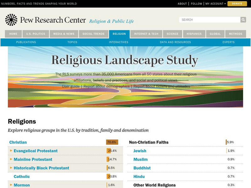
Website summarizing the results of a survey on religion in the U.S. Contains maps and charts of information for each specific religion as well as bar graphs comparing the deomographics of the different religious groups. Two full reports...
Art Institute of Chicago
Art Institute of Chicago: Benin: Kings and Rituals: Court Arts From Nigeria
Learn about the history of the royal art of the Benin Kingdom in Africa. An overview of the art is provided and with further explanation given according to themes. View maps and selected works of art. A video, charts, glossary, and a...
University of North Carolina
Documenting the American South: North Carolina Emergency Relief Administration
An electronic edition of a very interesting, though dense, book written in 1936 as a record of the activies of the Emergency Relief Adminstration in North Carolina. The book begins with a look at how relief for the indigent was provided...
Brigham Young University
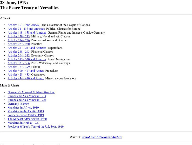
Byu: Wwi Document Archive: The Peace Treaty of Versailles: Articles 1 30
This site provides the complete texts of the Peace Treaty of Versailles as completed on June 28th, 1919. Also provided at the bottom of the page are many links to charts and maps that are associated with the Treaty.
Other popular searches
- Maps and Charts
- Analyze Maps and Charts
- Reading Maps and Charts
- Ireland Maps and Charts
- Tables, Maps and Charts
- Maps Graphs and Charts
- Interpreting Charts and Maps
- Tables Maps and Charts
- Graphs, Charts and Maps
- Graphs\, Charts and Maps
- Word Maps and Charts
- Charts, Maps and Graphs



![Virginia History Series: Virginia State History 20th Century (1921 1940) [Pdf] PPT Virginia History Series: Virginia State History 20th Century (1921 1940) [Pdf] PPT](https://static.lp.lexp.cloud/images/attachment_defaults/resource/large/FPO-knovation.png)

