Other
Bscs: Student Ideas About Earth's Changing Surface
This list describes common misconceptions children have about the earth's surface and the scientific explanation for those ideas.
TeachEngineering
Teach Engineering: The Earth Is a Changin'
This instructional activity introduces and describes the main types of erosion (i.e., chemical, water, wind, glacier and temperature). Students learn examples of each type of erosion and discuss how erosion changes the surface of the...
CK-12 Foundation
Ck 12: Fourth Grade Science: Earth Science: Theory of Plate Tectonics
[Free Registration/Login may be required to access all resource tools.] Discusses what a tectonic plate is and how scientists can recognize its edges, how the plates move by convection in the mantle, the three types of plate boundaries...
NASA
Nasa Earth Observatory: Changing Global Land Surface
Learn how scientists view the changes in the land surface made by humans over time. Read questions that scientists pose to answer some unknown questions about global land surface and learn several things scientists are doing to try to...
Other
Bscs: Earth's Changing Surface Lesson 3: Grand Canyon Explorers
Students will learn that landforms can change over time in this lesson. Included are a minute-by-minute lesson plan, activities, and teacher discussion points and questions.
CK-12 Foundation
Ck 12: Earth Science: Earthquake Zones
[Free Registration/Login may be required to access all resource tools.] Covers earthquake zones, causes, and conditions.
CK-12 Foundation
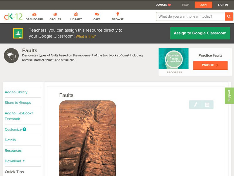
Ck 12: Earth Science: Faults
[Free Registration/Login may be required to access all resource tools.] Covers rock stress, fractures, and types of faults.
Utah Education Network
Uen: Reasons for the Seasons
Lesson plan addresses misconceptions about seasonal changes and Earth's orbit through a pre-lesson plan survey and follow-up experiments to scientifically study the answers to questions found in the survey. Includes great teacher...
NOAA
Noaa: National Ocean Service Education: Global Positioning Tutorial
Illustrated tutorial explains the history and science of geodesy. Animations help students visualize how scientists measure and monitor the size and shape of the Earth and the location of points on its surface.
PBS
Pbs Learning Media: Global Warming: Graphs Tell the Story
Examine these graphs from the NOVA/ FRONTLINE Web site to see dramatic increases in the temperature of Earth's surface and greenhouse gases in the atmosphere.
Library of Congress
Loc: Sea Changes in a Community
A lesson plan dealing with the fishing industry in New England and native and immigrant fishermen, and government legislation.
National Geographic
National Geographic: Sources, Sinks, and Feedbacks
Students will learn about how the Earth's carbon cycle works, as they examine the relationship between levels of carbon dioxide and water vapor in the atmosphere and the temperature of the ocean's surface. Includes online student...
Scholastic
Scholastic: Study Jams! Science: Landforms, Rocks & Minerals: Earthquakes
A video and a short multiple-choice quiz on earthquakes, how they form, how they are measured, and the ways they can change the surface of the Earth.
Other
Chicago Science Group: Earth's Changing Surface Virtual Field Trip
Join Science Companion author Belinda Basca and her family as they explore the land forms in Hawaii from a helicopter! Includes suggestions for teacher lessons, student activities, and web resources.
Other
Bscs: Earth's Changing Surface Lesson 2: Landform Detectives
Using relief maps, students will learn that landforms can be different from one place to another. Included are a minute-by-minute lesson plan, activities, and teacher discussion points and questions.
Other
Bscs: Earth's Changing Surface Lesson 1: Our Land
This hands-on lesson focuses on the land and its many different types of landforms and bodies of water. Included are a minute-by-minute lesson plan, activities, and teacher discussion points and questions.
PBS
Pbs Learning Media: Sunspots on the Move
The following videos show sunspots using wavelengths of light that the human eye cannot see. Watch sunspots emerging on the earth's surface, a sunspot moving across the earth's surface, and the rotation of the sun as a sunspot evolves...
American Geosciences Institute
American Geosciences Institute: Earth Science Week: Sea and Ice Salinity
Students investigate the effects of salinity on the formation of sea ice, and whether salt water freezes more quickly or more slowly than fresh water.
PBS
Pbs Learning Media: Hurricane Matthew Causes Weathering and Erosion
View videos and photos from the aftermath of Hurricane Matthew and see how the earth's landforms changed as a result of the heavy winds and rain. Weathering and erosion made a new landform and dramatically changed the coastline....
NASA
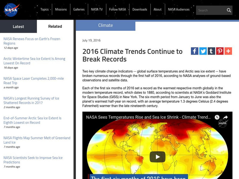
Nasa: 2016 Climate Trends Continue to Break Records
NASA studies of global surface temperatures and Arctic sea ice extent provide data to determine climate changes on Earth. Research for only the first half of 2016 identifies the year as being one of the hottest on record.
US Geological Survey
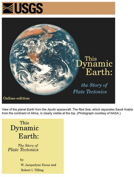
Usgs: Plate Tectonics and Mid Oceanic Ridges
Excellent graphics and understandable text about all aspects of plate tectonics including mid-ocean ridges.
Incorporated Research Institutions for Seismology
Iris: Station Monitor
Students can type in their zip code to find and explore the nearest live earthquake station data.
Incorporated Research Institutions for Seismology
Iris: Seismic Monitor
Seismic Monitor allows you to monitor global earthquakes in near real-time, visit seismic stations around the world, and search the web for earthquake or region-related information.
Incorporated Research Institutions for Seismology
Iris: Earthquake Browser
A live, real-time data global map of all current earthquake activity.


