University of Regina (Canada)
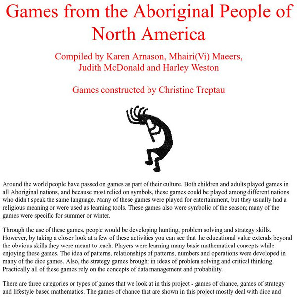
University of Regina: Math Central: Games From the Aboriginal People of North America
This site explains many aboriginal games and how they can fit into a Math program.
Biblioteca Virtual Miguel de Cervantes
Constituciones Hispanoamericanas
Fascinating comparison of Spanish-speaking countries. Includes the flag and a general map of each country. Statistical data is provided for each country. Constitutional and government information is available for each country.
Biblioteca Virtual Miguel de Cervantes
Datos Estadisticos De Hispanoamerica
This resource has a comparison of statistical data on all Spanish-speaking countries. Countries are compared and ranked according to land mass, population, population density, annual population growth, life expectancy, infant mortality...
Hartford Web Publishing
World History Archives: The Changing Faces of Imperialism
Reflections of Latin American history on imperialism, religion, human rights and social justice. Gives a historical perspective to current times (1996). Text
Central Intelligence Agency
Cia: World Factbook: Panama
This resource from the CIA World Factbook provides a detailed fact sheet of Panama. The content covers the country's geography, people, government, economy, communications, transportation, military, and transnational issues. It includes...
BBC
Bbc: News: Country Profile: Belize
The BBC furnishes a country profile on Belize featuring an overview, facts, and leadership of this Central American country. Links to a timeline of key events and an audio of the national anthem.
BBC
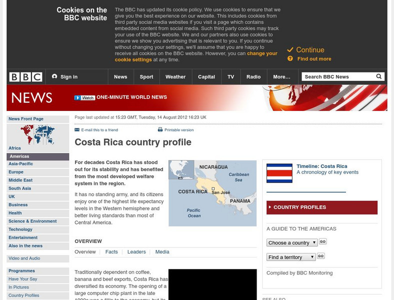
Bbc: News: Country Profile: Costa Rica
Provided is a brief profile of the Central American country of Costa Rica with emphasis on culture, its leaders, and its news media. Links to a timeline of key events in history.
BBC
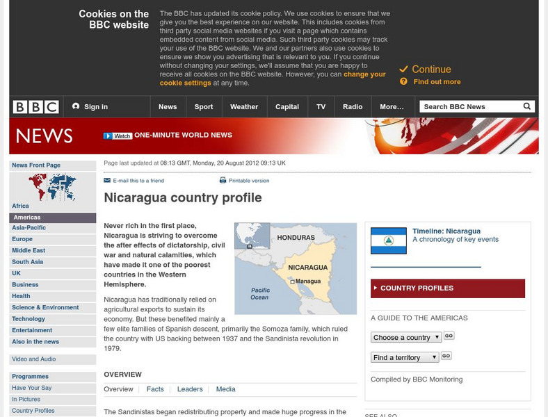
Bbc: News: Country Profile: Nicaragua
The BBC furnishes a country profile on Nicaragua featuring an overview, facts, and leadership of this Central American country. Links to a timeline of key events and an audio of the national anthem.
Study Languages
Study Spanish: El Perezoso
Brief cultural explanation in Spanish and English with a few comprehension questions about the sloth, a well-known animal in Central and South America. An additional link provides more information on this interesting mammal. Great...
Mount Holyoke College
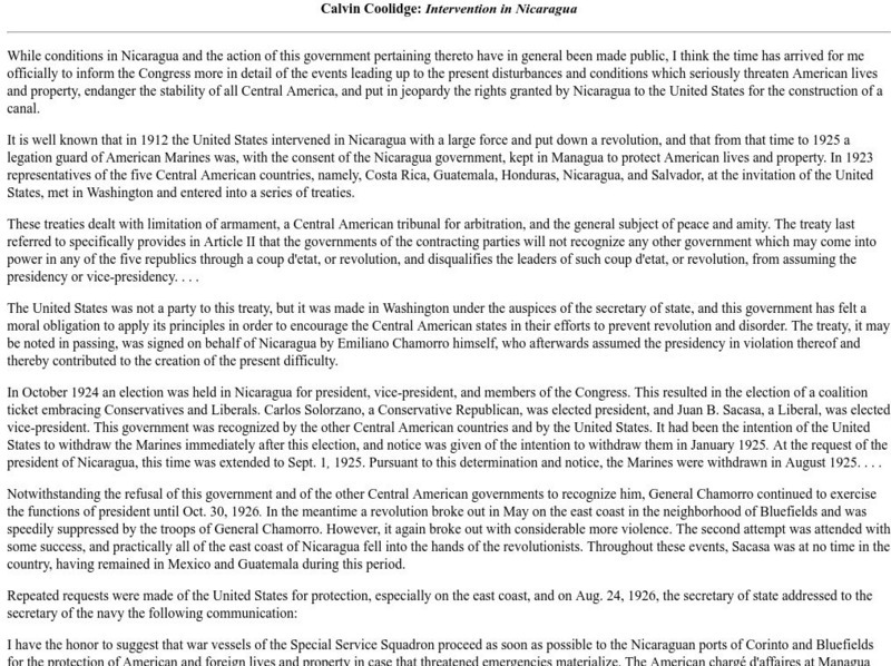
Mount Holyoke Coll.: Coolidge Intervention in Nicaragua
This site from the Mount Holyoke College provides a speech by President Calvin Coolidge discussing Americas intervention in Nicaragua during the early 20th Century. He talks about the political instability, revolutions, and the US presence.
Smithsonian Institution
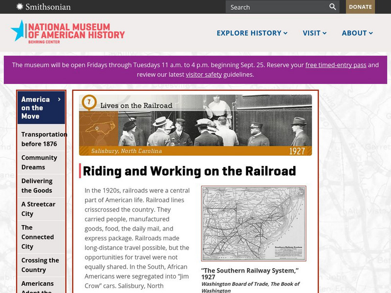
National Museum of American History: Lives on the Railroad: Salisbury, North Carolina 1927
Replica of the Salisbury, North Carolina railway station teaches about riding and working on the railroad in the 1920s when railroads were a central part of American life. Railroad lines crisscrossed the country. They carried people,...
Khan Academy
Khan Academy: Doe Shaman
An important visual theme in many ancient American art styles is that of transformation: one thing changing into another. Most shamans have spirit alter egos who help them in this world and in the spirit world, and these alter egos are...
Curated OER
Etc: Maps Etc: Population of North America, 1898
A map from 1898 showing the population distribution of North America, Central America, and Caribbean to Puerto Rico. The map shows areas of sparse to heavily populated concentrations at the time. "Many thousands of white men from western...
Curated OER
Etc: Maps Etc: Population Distribution of North America, 1921
A base map from 1921 of North America, Central America, and the Caribbean showing the general population distribution in Alaska, Greenland, Dominion of Canada, United States, Mexico, and Central America at the time. People are most...
Curated OER
Educational Technology Clearinghouse: Maps Etc: North America, 1901
A map from 1901 of North America, Central America, the Caribbean, and Greenland showing general land elevations, mountain systems, rivers, coastal features, and ocean currents. The map is color-coded to show land elevations ranging from...
Curated OER
Educational Technology Clearinghouse: Maps Etc: North America, 1885
A map from 1885 of North America and Central America showing the major relief features of the region. The map shows the primary highland known as the Pacific Highland, with the Sierra Nevada and Rocky Mountains, the secondary highlands...
Curated OER
Etc: Maps Etc: Mexico and Western North America, 1845
A map of Mexico in 1845, prior to the ceding of the northern territories to the United States in 1846. The map shows the territories of Oregon, Texas, and Central America under Mexican control, and the frontiers of the Missouri and...
Curated OER
Educational Technology Clearinghouse: Maps Etc: North America, 1858
A map from 1858 of North America showing the boundaries at the time for Russian America (Alaska), Greenland, British America or New Britain, Canada East and Canada West, the United States, Mexico, Central America, and the West Indies...
Curated OER
Educational Technology Clearinghouse: Maps Etc: Relief of North America, 1890
A relief map from 1890 of North America, Central America, Greenland, and the Caribbean to Puerto Rico showing the general mountain systems, highlands, and plains of the region. Major river systems are shown. "North America is the third...
Curated OER
Educational Technology Clearinghouse: Maps Etc: Rainfall in North America, 1898
A map from 1898 of North America, Central America, Greenland, and the Caribbean to Puerto Rico showing the general distribution of rainfall in the region. The map shows areas of little or no rainfall to areas of heavy rainfall. The map...
Curated OER
Etc: Maps Etc: Mean Average Temperatures in North America, 1906
A map from 1906 of North America showing the mean annual isotherms of the region given in degrees Fahrenheit. "The climate of North America naturally varies greatly, depending on latitude, the general atmospheric circulation or direction...
Curated OER
Click Here to Get a Picture of the Maya Area in Central America
This site from the Virtual Sun gives a detailed account of the geographical region once inhabited by the Maya People. It describes the landscape, climate, and altitude.
Curated OER
Educational Technology Clearinghouse: Maps Etc: North America, 1915
North America including Canada, the United States, Mexico, Caribbean islands, Central America and a portion of South America, showing physical features.
Curated OER
Educational Technology Clearinghouse: Maps Etc: North America, 1901
A map from 1901 of North America, Central America, the Caribbean, and Greenland (Danish America) showing the political boundaries at the time. The map shows capitals and major cities, mountain systems, lakes, rivers, coastal features,...
Other popular searches
- Central America History
- Central American History
- Geography of Central America
- Mexico and Central America
- Central America Map
- Central American Immigration
- Ss Central America
- Central America Geography
- Power Points Central America
- Central America Lesson Plans
- Central America Outline Map
- Central America Agriculture
