Hi, what do you want to do?
Computer Science Unplugged
The Poor Cartographer—Graph Coloring
Color the town red. Demonstrate the concept of graph theory with a task that involves determining the least number of colors needed to color a map so that neighboring countries are not represented by the same color. Pupils...
Curated OER
What Color is the Ocean?
Pupils view satellite pictures of the ocean, and discuss the presence of phytoplankton and the colors of the ocean. Students compare/contrast ocean satellite images with maps and globes, then color world maps to replicate the satellite...
Curated OER
Mapmaker, Make Me a Map!
Here is a well-designed, very thorough lesson plan on mapping for very young children. Within the six-page plan, you will find everything you need to implement the lesson. They will identify various landforms found in Colorado on a map,...
Curated OER
Cartography
Students follow directions to draw a map of an island. They complete the island map adding their own details using symbols and a legend.
Curated OER
GIS Mapping: Special Instructions for Using Digital Orthophotos
Students practice cartography using GIS technology. They create a map of Austin using GIS and aerial photos.
Curated OER
Land Plan Challenge
Links to two different versions of this mapping activity are available. In "The Small Version," youngsters design a town, keeping the water supply in mind. In "The Large Version," they also design a town, but they consider services and...
Curated OER
Mapping the Census
High schoolers learn why the census makes a difference. In this U.S. Census lesson plan, students learn the key elements of cartography, examine the difference between data and their representation, and create a map using census data.
Curated OER
Cartographer on Assignment: Creating a Physical Map of Africa
Students use geographic information to make an outline map of Africa, then demonstrate their understanding of the physical landscape of Africa by using a variety of materials to create a physical map of Africa
Curated OER
Schoolyard Geology
Discover that maps show information about an area and that they have common features like scales and legends. View an aerial map of your school and find features on the map such as the playground, roads, and trees. Trace the outline of...
Curated OER
The Country of Chile - Map Work
In this map learning exercise, students label a map of Chile by following 11 directions given at the bottom of the page. They label landforms and water bodies associated with the country.
Curated OER
Mapping With MapPoint
The class is engaged through a discussion of mapping. They determine what they believe makes a good map and what the essential elements of a map are. Students work independently to complete a worksheet on mapping. They follow clear...
National Geographic
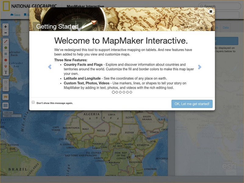
National Geographic: Map Maker Interactive and 1 Page Map Maker
This National Geographic feature allows visitors to create their own world maps complete with capitals, oceans, climate information, satellite view, personalized trail markings and more. Choose from a detailed color map or the second...


