Hi, what do you want to do?
Curated OER
Boundaries
Students are introduced to the term of mental mapping. Individually, they develop their own mental map of Washington state and discuss as a class what makes a boundary. They draw their mental map on paper and compare it with their...
Curated OER
Geography and World History
Pupils build off of their current knowledge of geography and world history, while being introduced to new concepts and ideas.
Curated OER
Design Your Own Building
Students explore the use of design principles in the real world. They evaluate how problems can be solved using design principles. In groups, students design the floor plan for a building of their choice.
Curated OER
My Own Private Idaho; Using Social Studies to Explore Idaho
Students engage in several activities to explore Idaho and Social Studies themes. Using an variety of media, students become familiar with Idaho's geography and geology.
Curated OER
GEOGRAPHY: SPACE CENTERS
Students examine the descriptive science dealing with the surface of Earth, its division into continents and countries, climate, natural resources, inhabitants and industries of the various divisions and analyze the political geography...
Curated OER
What's Its Slope
Students identify the slope of a lines.In this algebra lesson, students define the meaning of slope and write an equation given the slope. They graph linear functions using the slope and y-intercept.
Curated OER
Language Arts: Novel Guides
Students discuss the Revolution and consider the causes of the war, the attitudes of the colonists, and the position of the British. Then students explore American involvement in wars since the country's inception.
Curated OER
Exploring the Various Regions of Boyle Heights: Continuity and Change
Student study the local landscape of Boyle Heights, California and draw a sketch of the area. Students use map making skills in this activity. Studient make a portfolio of information and photographs they accumulate over time on the area.
Other
The Smithsonian: Lewis & Clark: Mapping the West
The Smithsonian's EdGate project provides this illustrated narrative site that explores the mapping of the American West accomplished by the 1804-06 Lewis and Clark expedition.
University of Texas at Austin
Ut Library: Perry Castaneda World War Ii Maps
An excellent collection of WWII maps. Scroll down for selections from the European Theater of the war.
Other
Modern City and Country Maps of Germany
A German Government user-friendly site that gives links to sites with excellent, up-to-date maps of Germany.
Library of Congress
Loc: Civil War Maps
The Library of Congress provides a large collection of maps dating back to the Civil War. The collection consists of reconnaissance, sketch, coastal, and theater-of-war maps which depict troop activities and fortifications during the...
Library of Congress
Loc: Civil War Maps: History of Mapping the Civil War
Investigate the importance of mapping to both the Union and the Confederates in planning their military strategy. From the Library of Congress.
National Geographic
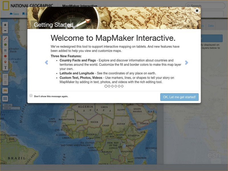
National Geographic: Map Maker Interactive and 1 Page Map Maker
This National Geographic feature allows visitors to create their own world maps complete with capitals, oceans, climate information, satellite view, personalized trail markings and more. Choose from a detailed color map or the second...
University of California
World History for Us All: Getting Our Bearings: Maps of Time, Space, and History
Understanding history requires students to be able to see the big picture. This teaching unit introduces students to tools they can use to investigate history. Topics covered include cartography, chronography, and maps of space, time and...
Annenberg Foundation
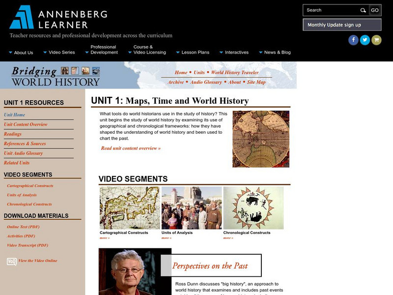
Annenberg Learner: Bridging World History: Maps, Time, and World History
Learn how map projections and chronological constructs are used in the study of world history and help us to understand and interpret the past. Part of a larger site on world history, this unit on maps offers complete reading,...
University of Oregon
University of Oregon: Interactive Nolli Map of Rome: 1748 Map of Rome
Interactive Nolli Map introduces students to Rome and the structure of its urban form based on the work of eighteenth-century Italian architect Giambattista Nolli. Using the map engine, navigate through the city at a variety of scales,...
Library of Congress
Loc: Mapping the National Parks
A rich and historically significant collection of maps of various national parks throughout the United States. Features special sections on Yellowstone, Acadia, the Grand Canyon and the Smoky Mountains. Includes historical photographs of...
Khan Academy
Khan Academy: What Maps Tell Us
Maps are subjective, and like any form of art and design they have stories to tell and reveal a lot about the times in which they were produced. Maps involve selections of information, human editing, and a visual language legible to the...
Rice University
Rice University: Cynthia Lanius: Mathematics of Cartography
Can there be a connection between map making and math? Explore the mathematics of cartography in this resource that integrates web-based instruction, mathematical problem solving, geometry, history, and art. Interesting information and...
US Geological Survey
Usgs: The National Map
The United States Geological Survey explains the creation and the uses of the National Map. The student can access the map and explore the United States in an interactive setting.
Other
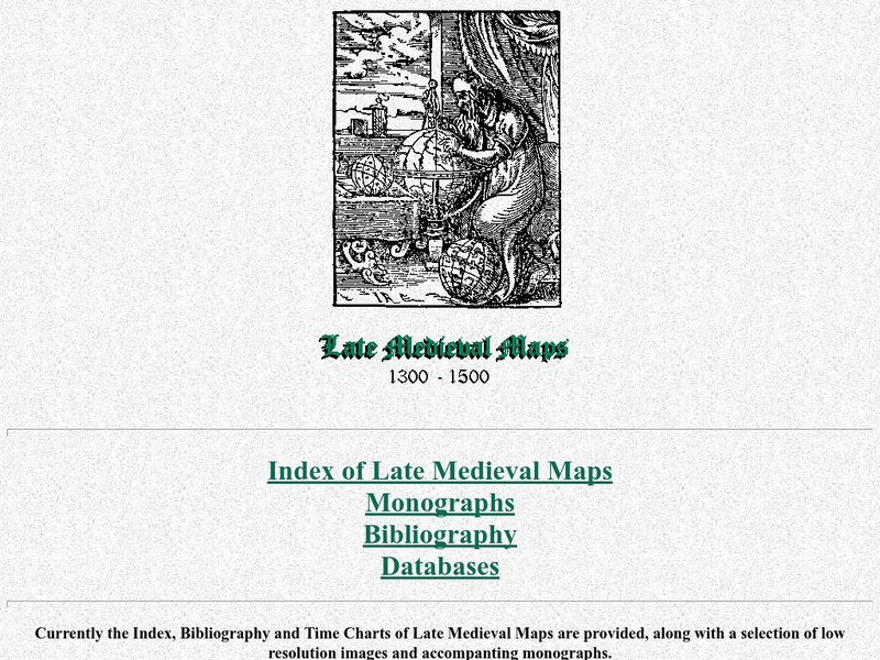
Cartographic Images: Late Medieval Maps 1300 1500
Find some incredible maps of early cartographers. What did they know of the world then? Did they know it was round? Take a look at this site.
National Geographic
National Geographic: Reading a Resource Map
Students will study maps to recognize where natural resources are found through exercises provided.
Other
Richard Phillips: Making Maps Easy to Read
This geography research project surveys factors that make maps easy to read and to use.


