Hi, what do you want to do?
Curated OER
Educational Technology Clearinghouse: Maps Etc: North America, 1920
A map from 1920 of North America showing territory borders, capitals, state capitals, major cities and ports, railways, submarine cable routes, mountain systems, lakes, rivers, and coastal features. An inset map details the Caribbean...
Curated OER
Map of Barbados
The BBC presents a profile of the Caribbean island of Barbados featuring an informational overview, facts, political leaders, and the news media. Listen to the national anthem or watch a video on church involvement in the slave trade.
Curated OER
Prime Minister Owen Arthur
The BBC presents a profile of the Caribbean island of Barbados featuring an informational overview, facts, political leaders, and the news media. Listen to the national anthem or watch a video on church involvement in the slave trade.
Curated OER
Flag of Barbados
The BBC presents a profile of the Caribbean island of Barbados featuring an informational overview, facts, political leaders, and the news media. Listen to the national anthem or watch a video on church involvement in the slave trade.
Curated OER
Map of St Kitts and Nevis
The BBC furnishes information on the Caribbean islands of St Kitts and Nevis including these topics: an overview, facts, political leaders, and the media. Links to an audio of the national anthem and a timeline of key historical events.
Curated OER
St Kitts and Nevis Premier
The BBC furnishes information on the Caribbean islands of St Kitts and Nevis including these topics: an overview, facts, political leaders, and the media. Links to an audio of the national anthem and a timeline of key historical events.
Curated OER
Association of Religion Data Archives: National Profiles: Anguilla
Learn about religion in the Caribbean island nation of Anguilla, in this Association of Religion Data Archives country profile which includes general facts and history, as well as religious data.
Curated OER
Association of Religion Data Archives: National Profiles: Dominica
Learn about religion in the Caribbean island of Dominica, in this Association of Religion Data Archives country profile; includes general facts, history, and religious data.
Curated OER
Association of Religion Data Archives: National Profiles: Grenada
Learn about religion on the Caribbean island of Grenada, in this Association of Religion Data Archives country profile; includes general facts, history, and religious data.
Curated OER
Association of Religion Data Archives: National Profiles: Montserrat
Learn about religion on the Caribbean island of Montserrat, in this Association of Religion Data Archives country profile; includes general facts, history, and religious data.
Curated OER
Association of Religion Data Archives: National Profiles: Martinique
Learn about religion on the Caribbean island of Martinique, in this Association of Religion Data Archives country profile; includes general facts, history, and religious data.
Curated OER
Association of Religion Data Archives: National Profiles: Saint Lucia
Learn about religion on the Caribbean island of Saint Lucia, in this Association of Religion Data Archives country profile; includes general facts, history, and religious data.
Curated OER
Association of Religion Data Archives: National Profiles: Saint Kitts and Nevis
Learn about religion on the Caribbean islands of Saint Kitts and Nevis, in this Association of Religion Data Archives country profile; includes general facts, history, and religious data.
Central Intelligence Agency
Cia: World Factbook: St. Kitts and Nevis
This resource from the CIA World Factbook provides a detailed fact sheet of St. Kitts and Nevis. The content covers the country's geography, people, government, economy, communications, transportation, military, and transnational issues....
University of Groningen
American History: Outlines: The French and Indian War
France and Britain engaged in a succession of wars in Europe and the Caribbean at several intervals in the 18th century. Though Britain secured certain advantages from them -- primarily in the sugar-rich islands of the Caribbean -- the...
Mariners' Museum and Park
Age of Exploration: Christopher Columbus: The Second Voyage
A report of Christopher Columbus' second voyage to the New World. Find out what islands he visited in the Caribbean, and discover how successful he was in finding riches.
CNN
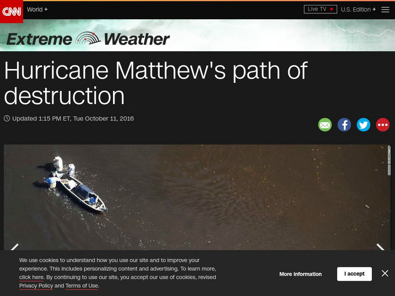
Cnn: Extreme Weather: Hurricane Matthew's Path of Destruction
Hurricane Matthew hit the Southeast United States after slamming island nations in the Caribbean. View images of the damage it left in its wake.
A&E Television
History.com: Why Isn't Puerto Rico a State?
Located about a thousand miles southeast of Florida, Puerto Rico is a Caribbean archipelago with a complex colonial history and political status. As a territory of the United States, Puerto Rico's 3.2 million residents are U.S. citizens....
Varsity Tutors
Varsity Tutors: Web English Teacher: Theodore Taylor
What do you know about the life and work of Theodore Taylor? Use this online resource to discover information about this famous author.
BBC
Bbc: News: Country Profile: Grenada
The BBC profiles the country of Grenada presenting information on its geography, tourism, leaders, and media. Listen to Grenada's national anthem or view a timeline of historical events.
Latimer Clarke Corporation
Atlapedia Online: st.kitts and Nevis
A complete profile of the Federation of St. Kitts and Nevis including highlights on its geography, climate, people, modern history, economy, communications, and military. Click on the maps to enlarge them.
Latimer Clarke Corporation
Atlapedia: St. Vincent and the Grenadines
A complete profile of St. Vincent and the Grenadines including highlights on its geography, climate, people, modern history, economy, communications, and military. Click on the maps to enlarge them.
BBC
Bbc: News: Country Profile: St Vincent and the Grenadines
The BBC provides an overview, facts, and information on its leaders and the news media. Links to a timeline of key historical events and an audio of the national anthem.
Wikimedia
Wikipedia: Hispaniola
Good overview of the history, geography, and ecology of the island of Hispaniola in the Caribbean. It is made up of Haiti and the Dominican Republic.
Other popular searches
- Caribbean Islands Activities
- Art Caribbean Islands
- Caribbean Islands Culture
- Caribbean Islands Cuba
- The Caribbean Islands
- Caribbean Islands Change
- Caribbean Islands Lessons
- Caribbean Islands Population
- Music of Caribbean Islands
- Islands of the Caribbean
- Art Caribbean Islands Mosaic
- +Islands of the Caribbean


