Hi, what do you want to do?
Bill of Rights Institute
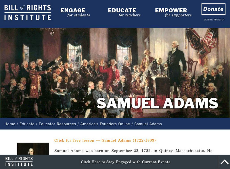
Bill of Rights Institute: Samuel Adams
Samuel Adams was born on September 22, 1722, in Quincy, Massachusetts. He entered Harvard College at the age of 14. During the 1760s, Adams became a leader of the Patriot resistance to the British government's attempt to tax the American...
Independence Hall Association
U.s. History: Britain in the New World
Read about the early English explorers and find out why other countries did much more early exploration than the British. The defeat of the Spanish Armada turned the tide. Discover why the English now could explore and plant colonies.
University of Groningen
American History: Biographies: John Dickinson (1732 1808)
Dickinson has correctly been called the "Penman of the Revolution" by later historians. But his activities extended fortwo decades into the life of the new republic, years in which Dickinson's contributions were many. Dickinson's career...
A&E Television
History.com: Revolutionary War Timeline
The Revolutionary War was an insurrection by American Patriots in the 13 colonies to British rule, resulting in American independence.
A&E Television
History.com: What Did the Three Continental Congresses Do?
During the Revolutionary War, the Continental Congress became America's de facto government. Over a period of 15 years, from 1774 to 1789, the Continental Congress underwent a profound evolution. Starting out as a temporary group that...
Travel Document Systems
Tds: Seychelles: History
A history of Seychelles, a country only recently independent. Read about the steps Seychelles has taken since its independence. Information is from the U.S. State Dept. Background Notes.
National Endowment for the Humanities
Neh: Edsit Ement: American Colonial Life in the Late 1700s
For this very detailed lesson plan, students will explore what life was like during colonial life in the late 1700s. Students will use what they have learned to write fictional letters to a cousin.
Digital History
Digital History: The Stamp Act and Methods of Protest [Pdf]
The impostition of the Stamp Act hit a nerve with the English colonists. Read about the many forms of protest against the act from the primary sources provided. Think about whether the repeal of the Stamp Act was a Pyrrhic victory in...
Other
Guide to Thailand: History of Thailand & Southeast Asia
A summary on the history of Southeast Asia. Click on the topics in the left side navigation bar to go to other chapters in the history.
Indiana University
Indiana University: Stamp Act
From the American History Documents series, view the original document and read about the 1765 tax that ignited the American Revolution.
City University of New York
Revolutionary Generation: Political Traditions and Structures
This site has information pertaining to Britain's colonial policy. The policy of salutary neglect is covered. Links to sites for more information.
InterKnowledge Corp.
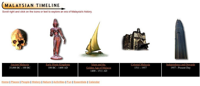
Geographia: Malaysian Timeline
Use this interactive timeline to follow the history of Malaysia from its earliest inhabitants to the present. Click on the topics to take you to each time period. Be sure to notice the information on the side bars.
Travel Document Systems
Tds: Togo: History
A history of Togo with emphasis on its political travails since 1963. Information is from the U.S. State Dept. Background Notes.
NSTATE
Net state.com: Introduction to Georgia
This NetState.com article describes the events that led up to Oglethorpe's settlement in Georgia which include the obtaining of a charter from George II.
Siteseen
Siteseen: Land of the Brave: Salutary Neglect
Salutary neglect was a long-standing British policy in the thirteen colonies which allowed the colonists to flout, or violate, the laws associated with trade. There were no effective enforcement agencies and it was expensive to send...
State Library of North Carolina
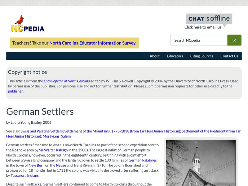
N Cpedia: German Settlers
German settlers first came to what is now North Carolina as part of the second expedition sent to the Roanoke area by Sir Walter Raleigh in the 1580s. The largest influx of German people to North Carolina, however, occurred in the...
Independence Hall Association
U.s. History: The Stamp Act Congress
Read about how the colonies were discovering that they had more clout by acting together than acting as individual colonies. The Stamp Act Congress and the resulting Stamp Act Resolves helped them band together to resist the acts passed...
Siteseen
Siteseen: Land of the Brave: Battle of Brandywine
Learn about this Revolutionary War battle that took place September 11, 1777, between Great Britain and its thirteen colonies in North America that ended in victory for the British.
Siteseen
Siteseen: Land of the Brave: Battle of Camden
Learn about this Revolutionary War battle that took place August 16, 1780, between Great Britain and its thirteen colonies in North America that ended in victory for the British.
Siteseen
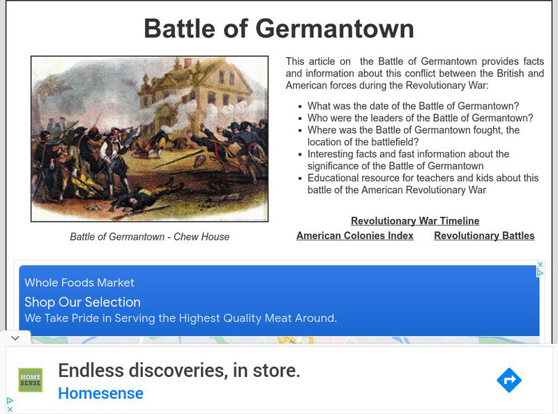
Siteseen: Land of the Brave: Battle of Germantown
Learn about the Battle of Germantown, the October 04, 1777, Revolutionary War battle between Great Britain and its thirteen colonies in North America that ended in victory for the British.
Siteseen
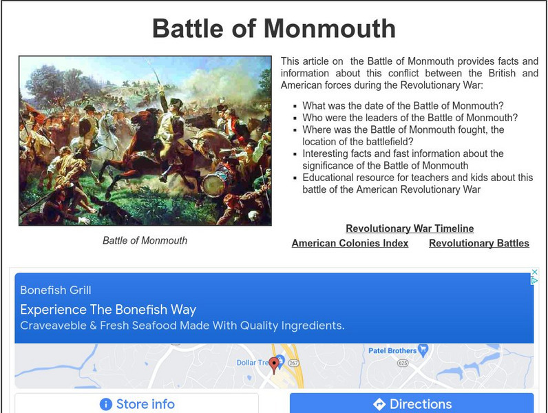
Siteseen: Land of the Brave: Battle of Monmouth
Learn about this Revolutionary War battle that took place June 28, 1778, between Great Britain and its thirteen colonies in North America that ended in a long-term victory for the British.
Siteseen
Siteseen: Land of the Brave: Battle of Bunker Hill
Learn about this Revolutionary War battle that took place June 17, 1775, between Great Britain and its thirteen colonies in North America that ended in a victory for the British.
Siteseen
Siteseen: Land of the Brave: Battle of Oriskany
Learn about this Revolutionary War battle that took place August 06, 1777, between Great Britain and its thirteen colonies in North America that ended in a victory for the British.
Siteseen
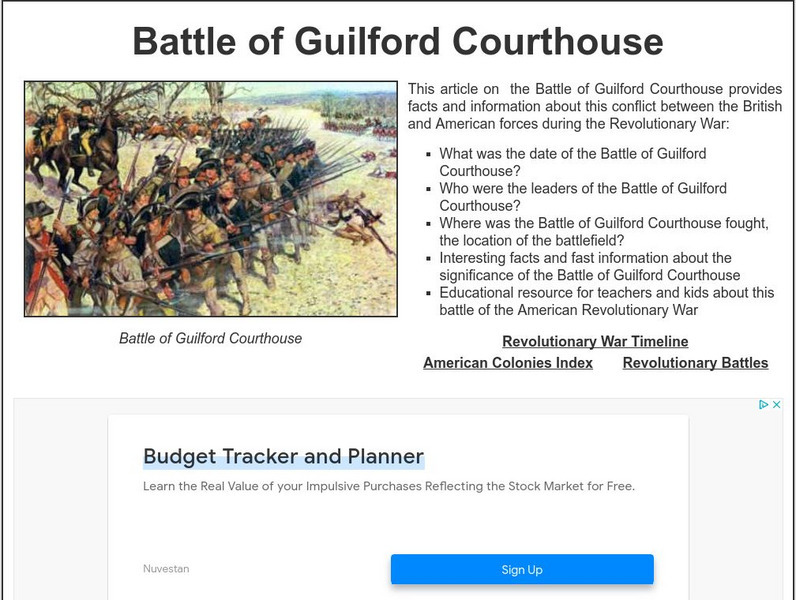
Siteseen: Land of the Brave: Battle of Guilford Courthouse
Learn about this Revolutionary War battle that took place March 15, 1781, between Great Britain and its thirteen colonies in North America that ended in a victory for the British.
Other popular searches
- British Colonies in Canada
- 13 British Colonies
- New England British Colonies
- Early British Colonies
- British Colonies Self Rule
- Migrating British Colonies
- French and British Colonies
- Non British Colonies
- Earlly British Colonies
- The 13 British Colonies
- Non British Colonies


