CK-12 Foundation
Regular and Irregular Polygons: Polygon States
Colorado would probably object if Wyoming enlarged its borders. Scholars use an interactive map to change the borders of U.S. states to see how angles change. They then answer questions about regular and irregular polygons.
Illustrative Mathematics
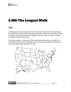
The Longest Walk
How long of a line can you draw within this activity? Learners pick two points outside and within the map to create the longest line they can. After drawing 10 lines, learners plot the length of each line on a line plot. Then they...
Curated OER
Cruisin' the Counties: Learning Counties and Major Roads in Arizona
Pupils examine Arizona counties and use the themes of location and movement to develop an Arizona map.
Curated OER
Graphin' And Glyphin' Utah Weather
Fourth graders investigate the concepts of looking at sets of data. The focus of the study is upon the local weather of Utah. They study the weather found in the city and in the country and make comparisons based upon geographical location.
Curated OER
Cambodian New Year
Students compare and contrast the New Year celebration in Cambodia to the celebration in the United States. They mathematically determine the amount of beans added to the "mountain" during the three day celebration.
Curated OER
Riding With Alice
Student listen to Don Brown's, Alice's Grand Adventure before discussing cross country travel. They trace Alice's travels on an outline map of the US and focus on the state of Indiana. They color and label the counties that Alice...
Curated OER
Reservoir Activity
Students research the economic importance of the major reservoirs in Illinois. In groups, they manage a budget for one of the lakes to promote tourism in the area. They also work together to create advertisements.


