Curated OER
Give Me a Clue!
Pupils write clue cards for learning the names and locations of each river basin in Kansas using their knowledge of cardinal and intermediate directions.
Curated OER
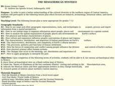
THE MESOAMERICAN MYSTIQUE
Students research, archeology, historical videos, and travel highlights in the northern region of Central America. They identify the various archaeological / historical sites along with a date of probable existence and the title of the...
Curated OER
Contra Los Ladrones de Carros
Students read descriptions of various anti-theft devices and investigate car security systems on the Internet. They write and present a television commercial for one of the anti-theft devices and present it to the class.
Curated OER
Bennington Battlefield
Students explore the characteristics of the area around the battlefield and the groups who participated on both sides of the battle. The relative importance of manpower, motivation, and leadership in the outcome of a military conflict is...
Curated OER
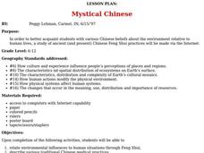
Mystical Chinese
Young scholars relate environmental influences to human situations through Feng Shui, describe various traditional Chinese medical practices, and explore the use of natural forces in Chinese medicine.
Curated OER
Mystical Chinese
Learners explore various Chinese beliefs about the environment. Using the internet, they research the characteristics of Feng Shui. They discuss how human actions modify the physical environment and vice versa. They discover how the...
Curated OER
The Legend of the Indian Paintbrush: Native American Life
Students read," The Legend of the Indian Paintbrush" by Tomie dePaola and discuss the way legends are passed down orally. They then create their own legend and illustrate it on a simulated "Buffalo Skin" made from brown paper.
Smithsonian Institution
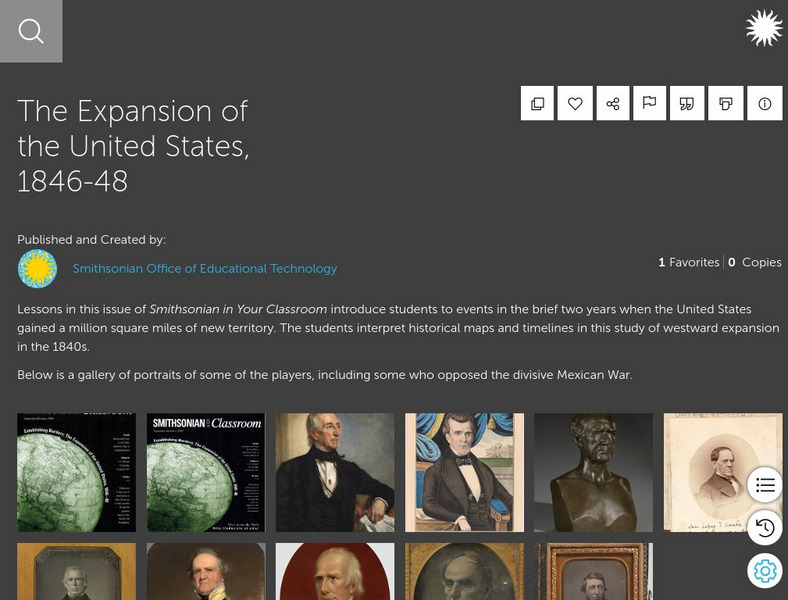
Smithsonian Learning Lab: The Expansion of the United States, 1846 48
This online lesson plan shows students through primary sources how the borders of the U.S. changed in just a few years. They are asked to analyze maps and use map skills. All maps and worksheets are included as well as additional resources.
PBS
Pbs Kids: Where's Buster?: A u.s. Geography Game About the States
Develop map and directional skills as well as skills in following a series of clues to find which U.S. state Buster is in.
Curated OER
University of Texas: Political Map of India
This map of India from the Perry-Castaneda Collection shows India's major cities, borders of the individual states, major highways, and rail lines.
Curated OER
University of Texas: Shaded Relief Map of India
On this relief map of India from the Perry Castaneda Collection, you can easily see the major physical features of India along with the major cities and the states.
PBS
Pbs Learning Media: Montana: The Borders of Montana
Students will study a map of Montana's terrain, learn about natural and manmade boundaries, label the major features of the state, and pick which area of Montana would be best for settlement and explain why.
University of Georgia
University of Georgia: A Map of United States of America (1827)
A large and surprisingly accurate map from 1827 of the U.S. States and Territories at the time. Clearly shows borders of states and territories as known at the time.
University of Georgia
University of Georgia: Map of Southern u.s. (1806)
A detailed 1806 map of the southern U.S. States and Territories and Spanish Florida showing borders, rivers, mountains and overland trails.
University of Oregon
Mapping History Project : European Possessions Bordering the u.s.: 1783
This is a simple, but clear map showing the land claimed by Spain and Britain after the Treaty of Paris in 1783. Notice the disputed land claims along the border of what is now the United States.
Other
U.s. Genealogy Map Project: u.s. Border/land Claims 1804 1823
A great map and a list of the acquisitions and border changes of the United States from 1804 to 1823. A concise resource showing Western expansion.
Scholastic
Scholastic: Hunting for States, Capitals, and National Parks! [Pdf]
Students can use a map of the United States to locate state capitals and national parks.
Ducksters
Ducksters: United States Geography for Kids: New Hampshire
Kids learn facts and geography about the state of New Hampshire including symbols, flag, capital, bodies of water, industry, borders, population, fun facts, GDP, famous people, and major cities.
Curated OER
Etc: United States During the Civil War, 1861 1865
A map of the United Stated during the American Civil War (1861-1865) showing State and territory boundaries, with dates of statehood for the territories from 1796 to 1861. The map is color-coded to show the Union States, Confederate...
The History Place
The History Place: A Nation Divided 1861 1865
This site presents a simple map detailing the divided nation during the U.S. Civil war.
Curated OER
Etc: Maps Etc: Africa Before the Berlin Conference, 1882
A map of Africa as it was known in 1882 before the Berlin Conference of 1885, when the most powerful countries in Europe at the time convened to make their territorial claims on Africa and establish their colonial borders at the start of...
Curated OER
Educational Technology Clearinghouse: Maps Etc: Pre Colonial Africa, 1872
A map of Africa showing the continent prior to the Berlin Conference of 1885, when the most powerful countries in Europe at the time convened to make their territorial claims on Africa and establish their colonial borders at the start of...
Curated OER
Educational Technology Clearinghouse: Maps Etc: Hay Herbert Treaty, 1903
A map of the southern border of Alaska and Canada showing the area of boundary dispute and the boundary established by the Hay-Herbert Treaty between Britain and the United States in 1903. The map shows the coastline and fjords of the...
Curated OER
Educational Technology Clearinghouse: Maps Etc: Treaty With Spain, 1819
A map of the western United States and northern Mexico showing the territorial disputes settled and boundary established by the Adams-Onis Treaty between the United States and Spain in 1819. The territorial disputes involved the natural...


![Scholastic: Hunting for States, Capitals, and National Parks! [Pdf] Activity Scholastic: Hunting for States, Capitals, and National Parks! [Pdf] Activity](https://content.lessonplanet.com/knovation/original/480522-367e1f79d58efef695e5c826460eaadd.jpg?1661587497)
