Hi, what do you want to do?
State Library of North Carolina
N Cpedia: Catawba River
Catawba River rises in the Blue Ridge Mountains of McDowell County, approximately 20 miles east of Asheville, flowing east-northeast above Hickory until turning southward into the massive Lake Norman Reservoir. It then continues south,...
NSTATE
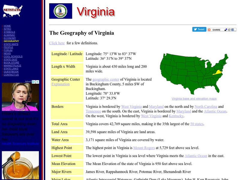
Netstate.com: The Geography of Virginia
Find a variety of facts about the geography of Virginia: geographic center, total area, elevations, and much more.
Curated OER
Educational Technology Clearinghouse: Maps Etc: Shenandoah Valley, 1864 1865
A map of northern Virginia and the Shenandoah Valley area in 1862. The map shows the area from Harpers Ferry on the Potomac River to Staunton in the valley, the Alleghany, Kittatinny, and Blue Ridge mountains, Charlottesville, Richmond,...
Curated OER
Educational Technology Clearinghouse: Maps Etc: Valley of Virginia, 1864
A map of the Valley of Virginia (Shenandoah), showing the site of Lynchburg on the eastern side of the Blue Ridge mountains, and the area of Confederate General Early's march down the Shenandoah to Harpers Ferry in 1864 in his attempt to...
Curated OER
Educational Technology Clearinghouse: Maps Etc: Movement of Armies, 1861
A map of the Washington-Richmond region showing the railroads and navigable coastline, illustrating the difficulties of moving large armies through the area at the time of the opening years of the American Civil War. The map shows major...
Curated OER
Etc: North Virginia Shenandoah Valley, 1862
A map of northern Virginia and the Shenandoah Valley area in 1862. The map shows the area from Harpers Ferry on the Potomac River to Staunton in the valley, the Alleghany, Kittatinny, and Blue Ridge mountains, Charlottesville, Richmond,...
Curated OER
Educational Technology Clearinghouse: Maps Etc: Sir John Lederer's Marches, 1672
A facsimile of an early map (1672) showing the three routes taken by explorer John Lederer from the headwaters of the York River inland to the Appalachian Mountains between 1669 and 1670. The map is oriented with north to the right, and...


