Curated OER
Etc: Maps Etc: Fisher's Hill, September 22, 1864
A map of the region surrounding Strasburg, Virginia. Site of the battle of Fisher's Hill from September 22, 1864.
Curated OER
Etc: Operations Around Petersburg, 1864 1865
A map of the region surrounding Petersburg, Virginia, site of the Battle of Petersburg and the Siege on Petersburg. Map shows June 1864-April 1865.
Curated OER
Educational Technology Clearinghouse: Maps Etc: Pope's Campaign, August 28, 1862
A map of northern Virginia showing the area of the campaign of General Pope on August 28, 1862 in the morning of the Second Battle of Bull Run. The map shows cities and towns, roads and railroads, terrain, woodlands, rivers, and the...
Curated OER
Educational Technology Clearinghouse: Maps Etc: Pope's Campaign, August 29, 1862
A map of northern Virginia showing the area of the campaign of General Pope at noon on August 29, 1862 during the Second Battle of Bull Run. The map shows cities and towns, roads and railroads, terrain, woodlands, rivers, and the Union...
Other
Behind the Stonewall: The Wheatfield, Gettysburg, Pa
This website provides an interactive/panoramic view from The Wheatfield as it stands today. The descriptive content which follows details the battle fought there using modern day landmarks.
Other
Behind the Stonewall: Big Round Top, Gettysburg, Pa
This website provides an interactive/panoramic view from the peak of Big Round Top as it stands today. The descriptive content which follows details the battle fought there using modern day landmarks.
Other
Behind the Stonewall: Devil's Den, Gettysburg, Pa
This website provides an interactive/panoramic view from the top of Devil's Den as it stands today. The descriptive content which follows details the battle fought there using modern day landmarks.
Other
Behind the Stonewall: Little Round Top, Gettysburg, Pa
This website provides an interactive/panoramic view from the "military crest" of Little Round Top as it stands today. The descriptive content which follows details the battle fought there using modern day landmarks.
Other
Behind the Stonewall: The Peach Orchard, Gettysburg, Pa
This website provides an interactive/panoramic view of off of the top of Cemetery Hill as it stands today. The descriptive content which follows details the battle fought there using modern day landmarks.
Wikimedia
Wikipedia: William Harvey Carney
This site from Wikipedia contains a biography of William H. Carney (1842-1908), the man who saved the flag during the battle at Fort Wagner. Links are provided throughout for additional information on related subjects.
Other
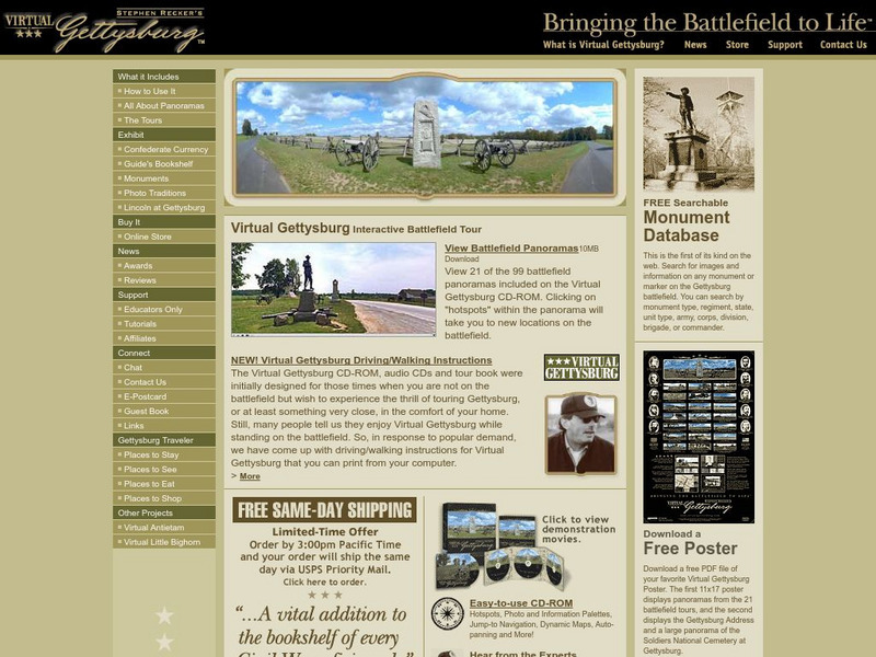
Virtual Gettysburg: Interactive Battlefield Tour
Although this site is advertising a complete CD-ROM package of Virtual Gettysburg, the accompanying free information is beneficial. There are free panoramas, pictures of monuments, and online exhibits of Confederate currency and "Lincoln...
Encyclopedia Britannica
Encyclopedia Britannica: Julius Caesar
This detailed encyclopedia entry about Julius Caesar contains all pertinent information from his birth to death. Links are given for more information about people and places relevant to Caesar's life. Pictures and videos are also included.
Other
John Brown Raid: 1859 Raid on Harpers Ferry
Commemorating John Brown's historic Harpers Ferry raid of 1859, this site has lots of information about Brown and the raid. The Educational Resources page is helpful for lesson materials. The links on the pressroom page will help you...
Other
Css Virginia Home Page: Css Virginia
Find out how the USS Merrimack was converted to become the Confederates' first ironclad gunboat, the CSS Virginia. Navigate the site with the topics on the left.
Curated OER
Educational Technology Clearinghouse: Maps Etc: England and Wales, May 1, 1643
A map of England and Wales as they were on May 1, 1643, during the First English Civil War (1642-1646). The map is color-coded to show the districts held by the King and districts controlled by Parliament in the ongoing English Civil...
Curated OER
Etc: Maps Etc: England and Wales, November 23, 1644
A map of England and Wales as they were on November 23, 1644, during the First English Civil War (1642-1646). The map is color-coded to show the districts held by the King and districts controlled by Parliament in the ongoing English...
Curated OER
Etc: Maps Etc: England and Wales, December 9, 1643
A map of England and Wales as they were on December 9th, 1643, during the First English Civil War (1642-1646). The map is color-coded to show the districts held by the King and districts controlled by Parliament in the ongoing English...
Curated OER
Educational Technology Clearinghouse: Maps Etc: Operations About Atlanta, 1864
A map of Atlanta and vicinity during the Atlanta Campaign of the American Civil War (1864). The map shows the fortifications around Atlanta, the positions of the Union and Confederate armies, and the sites of the Battle of Peach Tree...
Curated OER
Etc: Operations About Marietta, June 14 28, 1864
A map of Marietta and vicinity during the Atlanta Campaign of the American Civil War (June 14-28, 1864). The map shows the positions of the Union and Confederate armies, and the sites of the Battle of Pine Mountain (June 14), the Battle...
Curated OER
Memorial Day, 1898
A political cartoon depicting a Union and a Confederate veteran united in support for the Spanish-American War. A painting entitled Twelve-Inch Gun depicting elegant officers and ladies aboard a battle ship, civilizing gentility and the...
Curated OER
Educational Technology Clearinghouse: Maps Etc: Georgia Campaign, 1863 1864
A map of the area between Chattanooga Tennessee and Atlanta Georgia showing the Union advance on Atlanta during the American Civil War (1864). The map shows the campaign routes and important battle sites, rivers, and terrain.
Curated OER
Educational Technology Clearinghouse: Maps Etc: Advance Upon Atlanta, 1864
A map of the area between Chattanooga Tennessee and Atlanta Georgia showing the Union advance on Atlanta during the American Civil War (1864). The map shows the campaign routes and important battle sites, railroads, rivers, and terrain.
Curated OER
Educational Technology Clearinghouse: Maps Etc: Sherman's March to the Sea, 1864
A map showing the route of General Sherman's Savannah Campaign or "March to the Sea" (1864) during the American Civil War. The map is keyed to show the campaign routes, railroads, and battle sites.


