Hi, what do you want to do?
Center for History Education
Road to Revolution: How did Actions and Responses Lead to an Independent United States?
Using primary sources, maps, and an interactive M&M game, young historians examine the American revolution as if they were detectives trying to solve a crime. Resource includes graphic organizers and a final writing prompt to aid...
Library of Congress
Loc: Hotchkiss Civil War Era Maps
A collection of 341 Civil War Era Maps by Jedediah Hotchkiss, a topographic engineer in the Confederate Army. Most of the maps are of places in Virginia.
Library of Congress
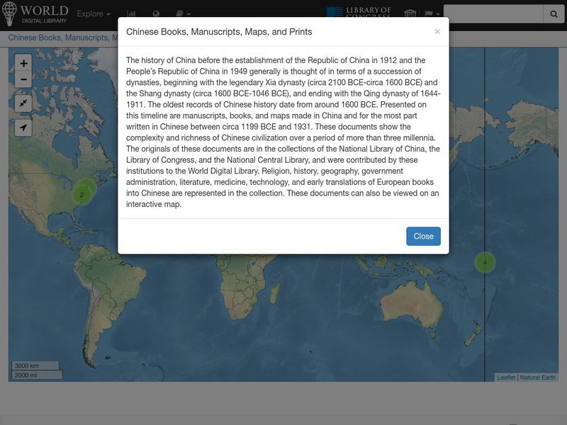
World Digital Library: Chinese Books, Manuscripts, Maps, and Prints: Map
A collection of primary source materials linked to a map that explore the history of China from 1200 B.C. to 1931. This is a world map with links on other continents as well, so zoom into China and click on a numbered circle. A popup...
University of Georgia
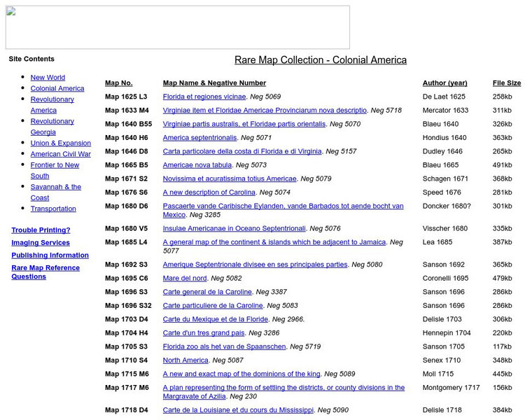
University of Georgia: Rare Map Collection: Colonial America
An extensive collection of original maps drawn during the colonial period of United States history.
National Geographic
National Geographic: John Smith Map of 1612
Presents the map published in 1612 that was developed from Captain John Smith's explorations of the Chesapeake Bay region, and used as the main reference for close to seventy years.
University of Texas at Austin
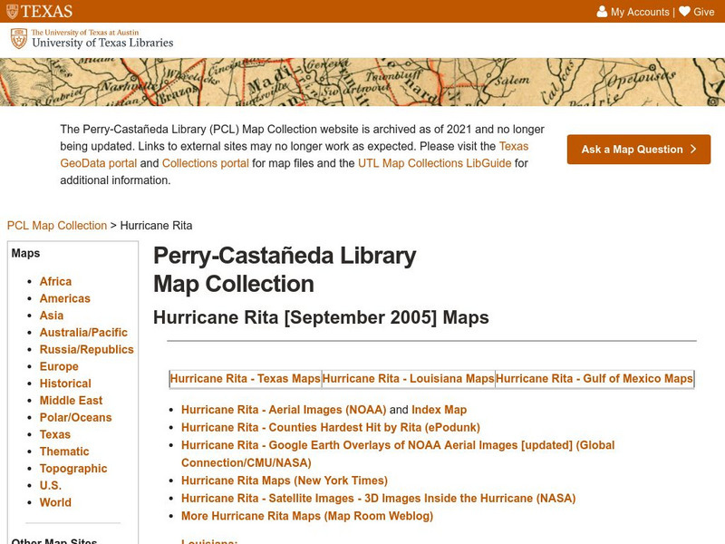
University of Texas: Hurricane Rita Maps
Web page with a large quantity of links to information on Hurricane Rita including maps, aerial images, satellite images, data, and much more.
Library of Congress
World Digital Library: United States History: Map
A collection of primary source materials linked to a map that explore a wide scope of events in the history of the United States from 1492 on. Click on any numbered circle and a popup appears showing one or more thumbnails and where the...
Library of Congress
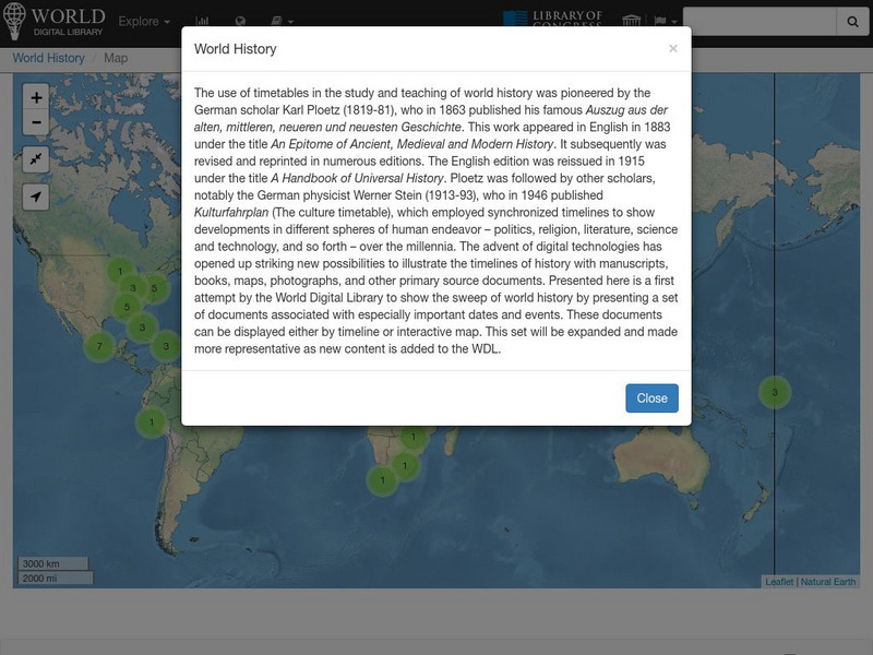
World Digital Library: World History: Map
A collection of primary source materials linked to a map that explore a wide scope of events in the history of the world. Click on any numbered circle and a popup appears showing one or more thumbnails and where the material is located....
Library of Congress
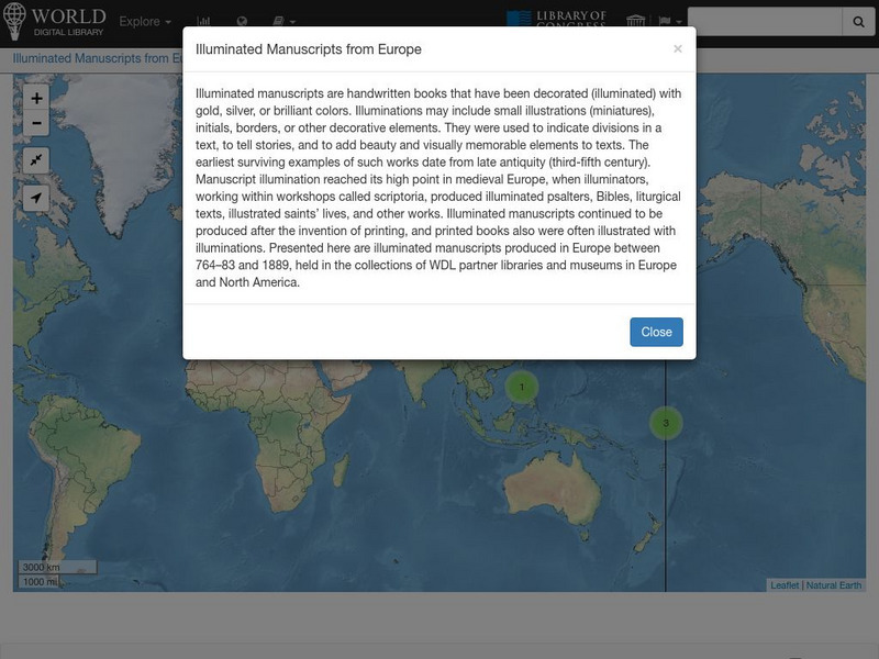
World Digital Library: Illuminated Manuscripts From Europe: Map
A collection of primary source materials linked to a map that showcase illuminated manuscripts from 764 to 1889 that are in European museums and libraries. Click on a numbered circle and a popup appears showing one or more thumbnails and...
Library of Congress
World Digital Library: Imperial Russia: Map
A collection of primary source materials linked to a map that showcase the state of the Russian Empire in the 1800s. Click on any numbered circle and a popup appears showing one or more thumbnails of cards that highlight the unique...
Library of Congress
Loc: History of Railroads and Maps: Railroad Maps 1828 1900
This history of the American railroad from the Library of Congress also provides an understanding of how maps and mapmaking were so closely related to the growth of our railway system.
Library of Congress
Loc: World War Ii Military Situation Maps
Interactive timeline with audio feature depicts the key events of "The Battle of the Bulge" which took place in northern France beginning December 16, 1944 to January 18, 1945 as told through the daily situation maps made for the US...
Library of Congress
Loc: Railroad Maps Collection: Transcontinental Railroad
Find out about plans for a transcontinental railroad and surveys which plotted out possible routes. Part of a larger site on the history of railroads and maps.
Library of Congress
Loc: Samuel De Champlain's 1607 Map
This page provides the history and significance of Samuel de Champlain's map of New France and the St. Lawrence River in 1607.
University of Florida
Baldwin Library: Key to Pelton's New and Improved Series of Outline Maps
A scanned copy of the 1850 publication of Key to Pelton's New and Improved Series of Outline Maps by Cale Pelton, a nonfiction geography book for children.
University of Georgia
University of Georgia: Hargrett Library Rare Map Collection: The Historical War Map, 1862
A large map of the U.S. in 1862 showing the roads and railways primarily in the Confederacy.
University of Georgia
University of Georgia: Hargrett Library Rare Map Collection: Topical War Map of the Southern States
A large detailed map of the central and southern U.S. from 1863. Difficult to read.
Alabama Department of Archives and History
A Map Can Tell a Story
An interesting lesson plan for students to attempt to locate the Alabama counties and identify voting patterns in the state.
Library of Congress
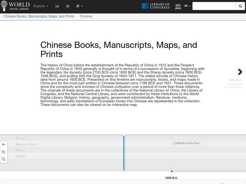
World Digital Library: Chinese Books, Manuscripts, Maps, and Prints: Timeline
A collection of primary source materials presented on a timeline that explore the history of China from 1200 B.C. to 1931. Click on an image to go to a page with descriptive information about each item. Each description has an audio...
Library of Congress
Loc: Discovery and Exploration
This American Memory site documents the discovery and exploration of the Americas with both manuscripts and published maps, many of which date from the European Age of Discovery. The site includes 22 map titles and descriptions, as well...
University of Chicago
University of Chicago: Map of Ancient Mesopotamia
This site from the University of Chicago provides a black and white map of Ancient Mesopotamia. The map focuses primarily upon terrain with an emphasis on the rivers and the major cities.
Texas State Library and Archives Commission
Texas State Library and Archives Commission: Hard Road to Texas 1836 1845: Lamar and the Rise of Texas Nationalism
The pride Texans feel about their state "can be traced to roots in the Republic of Texas era." Read about this era and the president who wanted Texas to stand alone and not become part of the U.S., and check out a map and other primary...
University of Florida
Baldwin Library: Royal Geographical Readers by Thomas Nelson and Sons
This is an online photocopy of the original of the children's book Royal Geographical Readers by Thomas Nelson and Sons (1884), a collection of maps and information for the countries in the British Empire.
University of Florida
Baldwin Library: Lovell's Intermediate Geography by John E. Lovell
This is an online photocopy of the original text of the children's book Lovell's Intermediate Geography by John E. Lovell (1888). This book contains maps and illustrations and acts as an introduction to Lovell's advanced geography from...
Other popular searches
- United States Maps
- Weather Maps
- Topographic Maps
- Story Maps
- Maps and Charts
- Types of Maps
- Maps and Globes
- Middle East Maps
- Maps and Flags
- Historical Maps
- Maps of Europe
- Create Character Maps


