Project Food, Land & People
Loco for Cocoa
Students create a time line and map about how chocolate traveled the world. In this chocolate lesson plan, students also create and taste chocolate.
Curated OER
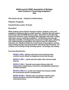
Eastern Europe: Passport to Understanding
Seventh graders explore Eastern Europe. They analyze data on select countries. Students prepare a short oral presentation on the country they researched. They locate their country using an interactive map.
Curated OER
What is Climate?
Students explore the differences between climate and weather. In this introductory instructional activity of a climate unit, students discuss the vocabulary and concepts associated with weather and climate. They build their information...
Curated OER
An American Spy with Money To Spend
Sixth graders use their imagination, math, reading, computer, geography, and social studies skills in this unique, innovative, and fun lesson where students pretend to be international spies!
Curated OER
How Much Further Is It?
Fifth graders use estimation to solve problems and assess the reasonableness of their answers. They may use an odometer, a map with a legend, MapQuest, or a map without a legen. They estimate 4 to 5 different scenarios.
Curated OER
Fair Trade: Chocolate Can Be Good For You
Students discover the process of chocolate production. They read stories from boys in Ghana and Brazil who work on cocoa plantations. They illustrate the principles of fair trade.
Curated OER
Brochures
Middle schoolers discuss how the climate in their area affects they way they live their life. In groups, they identify the climate zones throughout the world and research one country of interest to them. To end the lesson, they make a...
Curated OER
Geography: Snow Cover on the Continents
Students create maps of snow cover for each continent by conducting Internet research. After estimating the percentage of continental snow cover, they present their findings in letters, brochures or Powerpoint presentations.


