Other
Harappa.com: Ancient Indus Valley Civilization Slideshows
Twenty slideshows of the ancient Indus civilization demonstrate the archeological discoveries at Harappa and Mohenjo-daro.
Other
University of North Carolina at Pembroke: Lecture Notes: Ancient India and China
Lengthy illustrated notes, to accompany a university-level course, on the rise and spread of civilization in India and China.
Other
Harappa: Mohenjo Daro
Ethnographic site explores famous Mohenjo-daro through 103 indexed slides, some never published before, and an illustrated essay.
Other
Archaeological Survey of India: Bhirrana, a Harappan Town
Information and a photo gallery of excavations done at Bhirrana, a Harappan town.
Other
Harappa: A Walk Through Mohenjo Daro
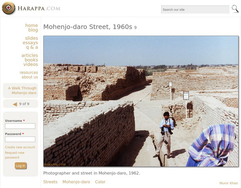
Wonderful, large pictures of that mysterious ancient city, Mohenjo-daro.
Curated OER
Etc: Maps Etc: Sites of Ancient Indian Temples, 1912
A map from 1912 of British India showing ancient Indian temples sites in the region. The map coverage extends from Kandahar (Afghanistan) and Kashmir in the west to Keng Tung and Rangoon (Myanmar) in the east, and from the Himalaya...
Curated OER
Etc: India After the Second Anglo Maratha War, 1804
A map of British India in 1804, at the end of the Second Anglo-Maratha War (1803-1804). The map is color-coded to show the British dominions, the subsidiary and protected states, the independent states at the time, and the Portuguese...
Other
Kamat's Potpourri: Timeline of Indian Art
A timeline tracing the development of Indian art from ancient times to the present. Includes beautiful clickable images with extensive descriptions.
HyperHistory Online
Map Showing Kushan Empire and Silk Road
The map shows Kushan, the Silk Road, and Bactria between 100-200 CE.
Other popular searches
- Ancient Civilizations India
- Social Studies Ancient India
- History Ancient India
- Ancient India Art
- Ancient India Empire
- Ancient India Government
- Ancient India Caste System
- Free Lessons Ancient India
- Ancient Indian Empire
- Ancient India Art Activities
- Geography of Ancient India
- Ancient India Trade


