Curated OER
Educational Technology Clearinghouse: Maps Etc: Northeast Boundary, 1783 1842
A map of the disputed territory of northern Maine showing the extent of the American and British claims after the Treaty of Paris in 1783, and the boundary established by the Webster-Ashburton Treaty of 1842.
Curated OER
Educational Technology Clearinghouse: Maps Etc: Northeast Mexico, 1846 1848
A map of eastern Mexico along the Gulf showing important battle sites during the Mexican-American War (1846-1848), including Matamoros, Monterey, and Buena Vista during the Taylor campaign, and Vera Cruz and Mexico City during the Scott...
Other
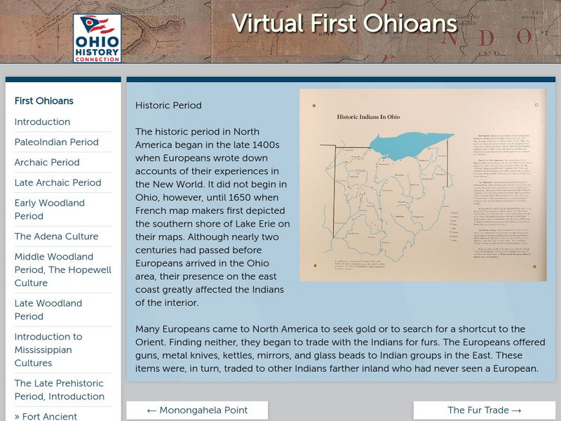
Ohio Historical Society: Historic Period
Enter the Europeans into the woods and plains of central North America. How did this effect the people that were here already? Who was here, and what happened when worlds collide? Click on the thumbnail images for more information on the...
Other
Many hoops.com: Clothing Coloring Page
Downloadable coloring pages that illustrate how the Wampanoag and the Pilgrims dressed in the 1600s.


