Hi, what do you want to do?
Wikimedia
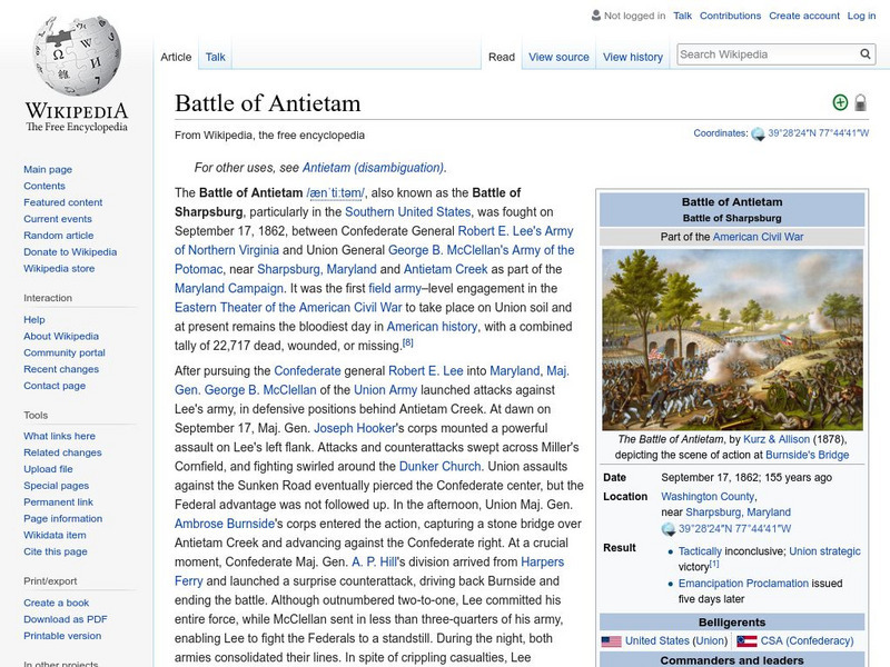
Wikipedia: Battle of Antietam
This Wikipedia article on the bloodiest battle in American history gives background information on the battle, the battle itself, and the aftermath.
American Battlefield Trust
American Battlefield Trust: Working to Save America's Battlefields
This site is dedicated to saving American battlefields. It provides videos of Civil War battlefields including Bull Run and Manassas, animated Revolutionary War maps, and video of the life of Ulysses Grant.
Pennsylvania Historical and Museum Comission
Explore Pa History: Wartime Mobilization
Read about the short-term problems and long-term successes in mobilizing troops from Pennsylvania to fight in the Civil War. Included is information about the discussion of allowing blacks to serve in the war.
Other
Hall of Black Achievement: Sergeant William H. Carney, c.m.h.: Civil War Hero
A brief biography of William H. Carney, inspiration of the 54th Massachusetts. There is a link to an audio reading of the narrative.
CommonLit
Common Lit: The Battle of Gettysburg
A learning module that begins with "The Battle of Gettysburg" by USHistory.org, accompanied by guided reading questions, assessment questions, and discussion questions. The text can be printed as a PDF or assigned online through free...
Library of Congress
Loc: American Memory: Civil War Photographs Bull Run
These are fourteen actual photographs taken during the Civil War at the battlefield of Bull Run.
American Battlefield Trust
American Battlefield Trust: Civil War Biography: Ambrose E. Burnside
A biographical profile of Ambrose Burnside, a career officer who commanded Union troops in a number of Civil War battles with a mixture of successes and failures.
Other
Mr. Lincoln and Freedom: Black Soldiers: Louisiana and Massachusetts
A complete discourse on the incorporation of black soldiers into the Union Army during the Civil War. The 54th Massachusetts Regiment is discussed in regard to the recruitment and the attack on Fort Wagner.
American Battlefield Trust
American Battlefield Trust: Civil War Biography: Lewis "Lew" Wallace
Overview of General Lew Wallace's role in the Civil War.
PBS
The West Project: John M. Chivington (1821 1894)
This is a biography of the controversial and brutal general of the American Civil War John M. Chivington who is remembered for the Sand Creek Massacre of some 200 unarmed Indian women and children.
University of Virginia
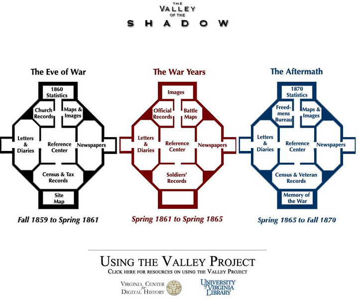
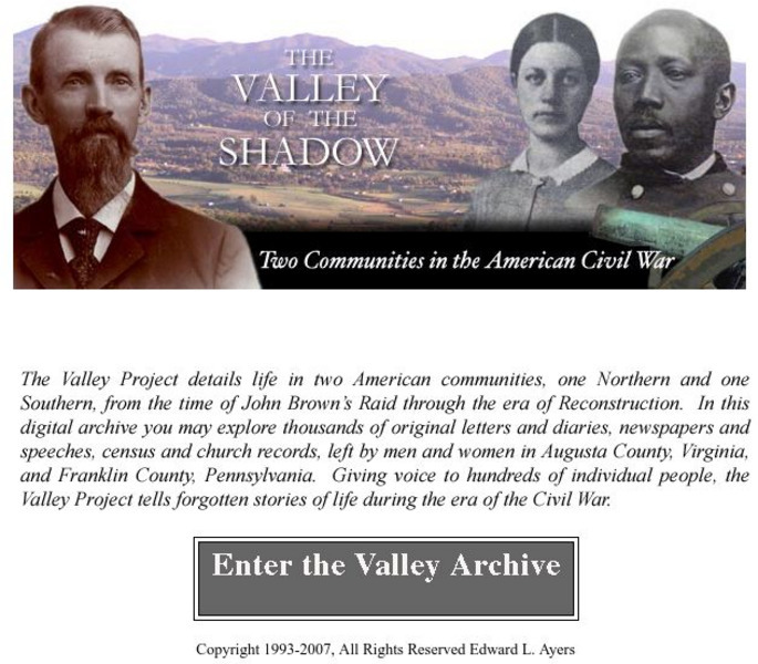
University of Virginia Library: The Valley of the Shadow
Analyze the Civil War through a multitude of primary source documents. This comprehensive site chronicles the Civil War in Virginia from its roots to the battles, and finally the consequences of this divisive war. Read letters and...
US National Archives
Nara: American Originals: 54th Regiment Casualty List
An interesting webpage in that it contains a brief summary of the history of the Regiment as well as the Casualty List from the assault on Fort Wagner and two historic photos.
University of Virginia
Virginia Center for Digital History: The Valley of the Shadow
This is a must-have site for the study of the Civil War. Students will have access to primary documents from many sources, including: census and veteran records, letters and diaries, newspapers, and church records. This Project explores...
Other
Mariners' Museum: Uss Monitor Center and Foundation
Experience the USS Monitor, the ironclad boat of the Civil War. With this resource, students can read and hear letters from sailors detailing their day-to-day life on board, learn about the history of the Monitor, and find out about the...
Curated OER
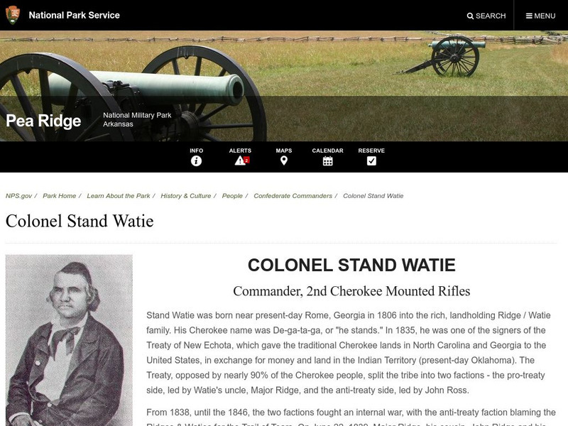
National Park Service: Pea Ridge National Military Park: Colonel Stand Watie
A brief biography of Stand Watie, who was a colonel at the Battle of Pea Ridge, but became the only Native American general in the Civil War. From the National Park Service.
Library of Congress
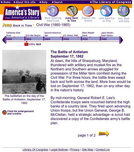
Loc: America's Story: The Battle of Antietam
What was the bloodiest battle in all American history? The Battle of Antietam , during the Civil War, wins this dubious honor. The Library of Congress has more information about this famous battle along with some actual photographs.
University of Michigan
Making of America: War Lyrics and Other Poems
The University of Michigan offers the full text of "War-lyrics and Other Poems," which was written by a Union sailor and dedicated to former commander, Vice-Admiral David G. Farragut. Users are able to read the text in its entirety, or...
A&E Television
History.com: How the South Helped Win the American Revolution
British commanders attempted to reverse their floundering fortunes by launching a campaign in the South. There the British would find not just crops such as tobacco, rice and indigo that were vital to their economy, but stronger Loyalist...
Wikimedia
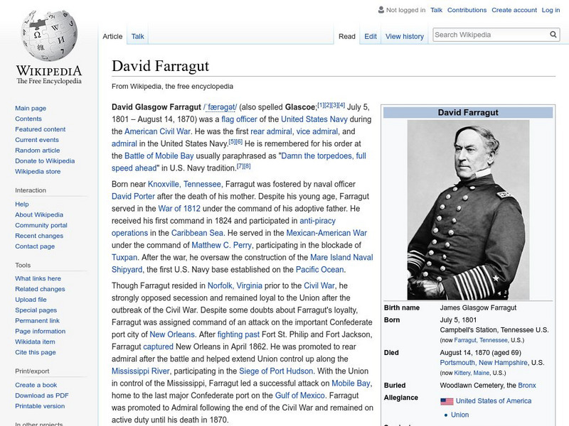
Wikipedia: David Farragut
This encyclopedia article from Wikipedia explores the life and work of David Glasgow Farragut, an admiral of the U.S. Navy during the American Civil War. Farragut is often remembered for the heroic quotation, "Damn the torpedoes, full...
Curated OER
Etc: The Civil War in the West, 1861 1865
A map of the Western seat of war during the American Civil War, showing state boundaries and capitals, major cities, forts, battle sites, mountain systems, and rivers in the area.
Siteseen
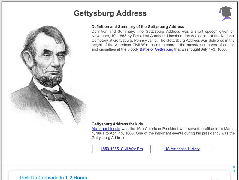
Siteseen: American Historama: Gettysburg Address
Provides interesting facts and important information about the Gettysburg Address commemorating the massive deaths at the bloody Battle of Gettysburg.
National Endowment for the Humanities
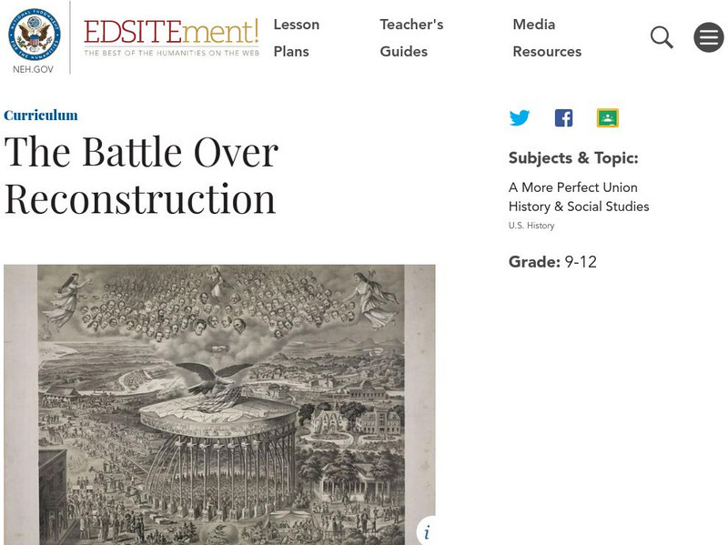
Neh: Edsit Ement: The Battle Over Reconstruction
In this Curriculum Unit, students will consider "The Battle Over Reconstruction" in 3 Lessons. The unit also includes worksheets and other student materials that can be found under the resource tab.
Other
American Heritage Magazine: Investigation 1862
From a 1954 article in American Heritage Magazine, this interesting account shows how the outcome the Battle of Ball's Bluff had important political implications. Read about how the powerful Joint Committee on the Conduct of the War...
Have Fun With History
Have Fun With History: Historic American Forts
Module for teachers and students on historic American forts. Includes informational videos of forts Ticonderoga, Fredericks and McHenry and a link to Fort Frederick website.


