Hi, what do you want to do?
Curated OER
Meet Mikhail Ippolitov-Ivanov!
Learners listen to music and review instruments of the orchestra. They explore musical terms, solo, texture and theme of the music and discuss other features of the music. Students research and discuss the life of Mikhail Ippolitov-Ivanov.
Curated OER
"Our Environment"
In this environment worksheet, students access a website to answer questions about the landscape and biogeoclimate of British Columbia. This worksheet has 6 short answer questions.
Curated OER
Migration and Refugees
Students explore issues relating to refugees. Using the internet, they gather facts about refugees. Students discuss the range of situations which turn citizens of one country into refugees of another.
Curated OER
The Debate Over North Shore Road
Students examine the impact of the North Shore Road Project in North Carolina. In this environmental science lesson, students share their views regarding this environmental issue. They compare and contrast the map of the Great Smoky...
Curated OER
Clouds
Students explore the characteristics of clouds, their formation, symbols used in their identification, and the relationship of clouds to weather. The instructional activity focuses on how they are formed and their classification.
Curated OER
Frozen Out
Students investigate how climate changes affect top predators in Arctic marine ecosystems. Students complete a worksheet and write a report based on their responses to a scientific paper.
Curated OER
Using Your Senses
Here is a terrific lesson that uses a special State Quarter as a learning tool. This one uses the Alabama State Quarter. During this lesson, pupils learn about their five senses. They make observations about what is in paper bags using...
Curated OER
President's Day: George Washington
Students celebrate President's Day by studying George Washingtion, the US flag, and the American colonies. They sing, Yankee Doodle Dandy.
Curated OER
Cave Diagram
Young scholars examine limestone cave geology and hydology. They study cave vocabulary.
Curated OER
Places We Live
Students compare/contrast rural and urban communities, and view and discuss the images on the Illinois quarter. They discuss Abraham Lincoln's life, complete a chart and a Venn diagram comparing urban and rural settings, and create a...
Curated OER
Patriots v. Loyalists
Students consider how colonial citizens chose sides in the American Revolution. In this Revolutionary War lesson, students role play Loyalists, Patriots, and undecideds in a classroom simulation. Students research their positions so that...
Curated OER
Introduction to Biometrics
Students use the internet to research how biometrics is being used in the real world today. They work together to research hand geometry applications. They share their findings with the class.
Curated OER
Global Story Book
Students work with a school in another country to produce a Global Story Book. They write stories and design pictures that describe both cultures.
Mariners' Museum and Park
Age of Exploration: Changing View of the World: The Development of Map Making
Read a summary of the history of map-making and the maps that were produced as a result of European exploration in the Americas. See examples of these maps and find out more about each one in this exhibit from the Mariners' Museum.
Mariners' Museum and Park
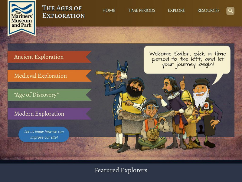
Mariners' Museum: The Ages of Exploration
A timeline of the Age of Exploration and the impact that these explorers had in their countries. Move the timeline cursor to access all the maps. By clicking on the highlighted words, you can discover more in-depth information.
EL Education
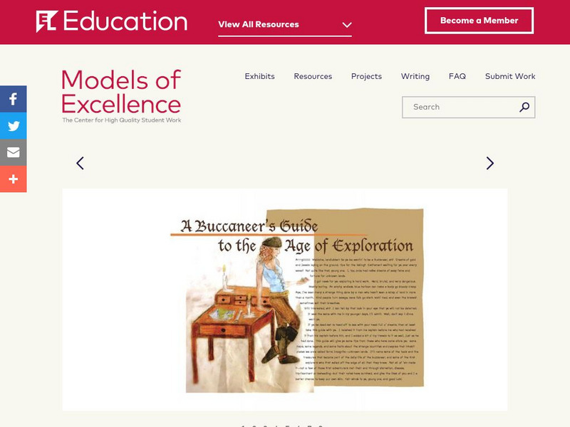
El Education: A Buccaneer's Guide to the Age of Exploration
A Buccaneer's Guide to the Age of Exploration depicts European world-wide exploration and exploitation through a collage-style book of text, hand-drawn and water-colored illustrations, maps, timelines, and diagrams. The book chronicles...
The Newberry Library
Newberry: Exploration and Encounter: Map 1: The World Columbus Knew in 1482
Newberry Library presents historical map on the Age of Exploration with lesson plans for all ages k-12. Includes curator notes and a wealth of supplemental resource material.
University of Calgary
European Voyages of Exploration: Geography and Cartography
This site provides information on mapmaking and cartograohy of the early explorers. Includes pictures of maps.
Library of Congress
Loc: Discovery and Exploration
This American Memory site documents the discovery and exploration of the Americas with both manuscripts and published maps, many of which date from the European Age of Discovery. The site includes 22 map titles and descriptions, as well...
Khan Academy
Khan Academy: An Age of Adventure
Learn about the adventures of Marco Polo, Ibn Battuta, and Zheng He on this site. Compare their journeys with charts and maps that are found here.
The Newberry Library
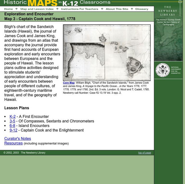
Newberry: Exploration and Encounter: Map 3, Captain Cook and Hawaii, 1778
Map and primary source information provide first-hand account of exploration and encounters between Europeans and Hawaiians. Includes lesson plans for k-12, links to reference material and supplemental resources, and curators notes.
Pamela Seed
The Art and Science of Fifteenth Century Navigation: Latitude
Chronicle of the changes that occurred in various areas when latitude was identified in 1516. Site includes links to the changes in maps, compass roses, and the science of sailing.
National Endowment for the Humanities
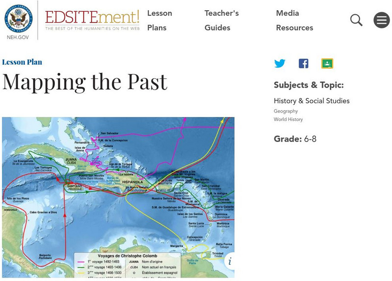
Neh: Edsit Ement: Mapping the Past
Students will examine European world maps from the Middle Ages, the Age of Discovery, and the period of New World exploration. They will then look at maps that record the early exploration of the American West and collect present-day...
Library of Congress
Loc: Map Collections 1500 2002
This collection provides maps dating back to 1500 up to the present. The collection includes: cities, towns, discovery and exploration, conservation and environment, military battles, cultural landscapes, transportation, communication,...


