Curated OER
Graphin' And Glyphin' Utah Weather
Fourth graders investigate the concepts of looking at sets of data. The focus of the study is upon the local weather of Utah. They study the weather found in the city and in the country and make comparisons based upon geographical location.
Curated OER
New England News: All You Need to Know About the New England Colonies
Students explore the New England colonies inj this five lessons unit. The colonies of plymouth Rock, Massachusetts, Rhode Island, New Hampshire, and Connecticut are highlighted through a variety of techniques.
Curated OER
Route Map Lesson Plan
Students read and make a route map by following step by step directions. They identify and make legends.
Curated OER
Hail Stone Impact
Sixth graders study the formation of convective storms and test mock hailstones. they graph and analyze collected data.
National Geographic
National Geographic: Geostories: A Rocky Mountain Bio Blitz
National Geographic's 2012 BioBlitz took place in Rocky Mountain National Park, Colorado. This GeoStory captures the spirit and wildlife discoveries of the 2012 BioBlitz.
Other
Colorado Tourism Office: 8 Places to See Colorado Wildlife
Highlights eight places in Colorado where it is possible to view wildlife from the safety of your vehicle. These include Rocky Mountain National Park, Guanella Pass Scenic Byway, State Forest Park, Bighorn Sheep Canyon, and more.
Library of Congress
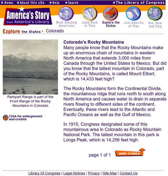
Loc: Colorado's Rocky Mountains
Did you know that the tallest mountain in Colorado is Mount Elbert? Find some brief information about it and the rest of the Rocky Mountain chain at this site from the Library of Congress.
Library of Congress
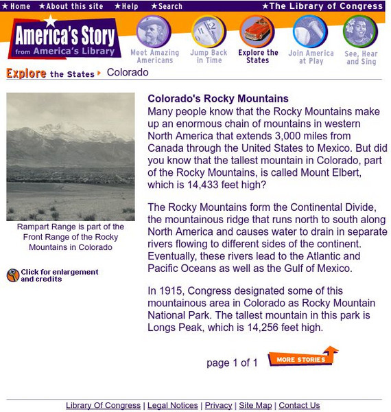
Loc: Colorado's Rocky Mountains
Did you know that the tallest mountain in Colorado is Mount Elbert? Find some brief information about it and the rest of the Rocky Mountain chain at this site from the Library of Congress.
Library of Congress
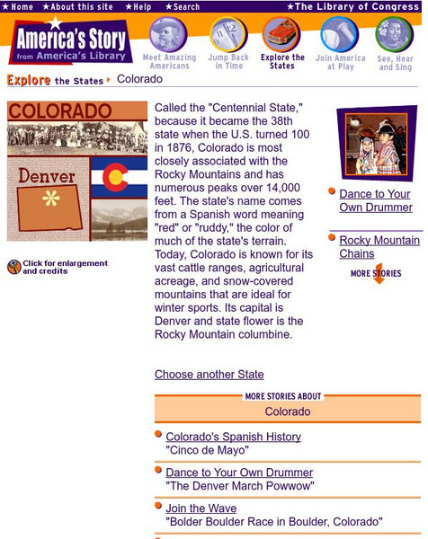
Loc: America's Story: Colorado
Discover more about the Rocky Mountains. Why is Colorado called the "Centennial State?" Look at this website for captivating facts.
Other
The Colorado River
Features basic information on the Colorado River including a map of the states it flows through.
Blackdog Media
Classic Reader: In the Heart of the Rockies by G. A. Henty.
Classic Reader provides numerous classic works from famous authors. First published in 1895, one work is In the Heart of the Rockies: A Story of Adventure in Colorado. This work was written by G. A. Henty.
Other
Denver.gov: Denver's History
Discover the history behind the capital city of Colorado. There is a timeline of important dates with additional in-depth history and facts about Denver's symbols and government.
PBS
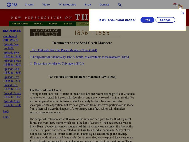
The West: Documents on the Sand Creek Massacre
Contains the text of documents on the Sand Creek Massacre, including two editorials from the Rocky Mountain News, Congressional testimony by John S. Smith, and a deposition by John M. Chivington
EL Education
El Education: Beetlemania: It's More Than John, Paul, Ringo and George
Beetlemania is a field guide to the Rocky Mountain Beetle Infestation in the Colorado Forest Ecosystem written and illustrated by 5th and 6th grade students at Explore Elementary in Thornton, CO. This extensive field guide includes...
Other
Lyme Disease Foundation, Inc.: Homepage
Extensive site on lyme disease from Lyme Disease Foundation, Inc. Find out what it is, how it is transmitted, symptoms, treatment, find out about ticks and other tick-borne illnesses, current research and much more.
Curated OER
Educational Technology Clearinghouse: Maps Etc: Southern Rockies, 1911
A map from 1911 of the southern Rockies showing the main topographic features of the region, including; the eastern foothills (hogback topography); the Colorado or Front Range and Wet Mountains; the Park, Sawatch (or Saguache), and...
Curated OER
Educational Technology Clearinghouse: Maps Etc: Colorado, 1911
A map from 1911 of Colorado showing the State capital of Denver, counties and county seats, major cities and towns, railroads, the Rockies and other mountain systems, lakes, and rivers. A grid reference in the margins of the map lists...
Curated OER
Educational Technology Clearinghouse: Maps Etc: Colorado, 1920
A map from 1920 of Colorado showing the State capital of Denver, counties and county seats, major cities and towns, railroads, the Rockies and other mountain systems, lakes, and rivers. A grid reference in the margins of the map lists...
Curated OER
Educational Technology Clearinghouse: Maps Etc: Colorado, 1914
A map from 1914 of Colorado showing the State capital of Denver, counties and county seats, major cities and towns, railroads, the Rockies and other mountain systems, lakes, and rivers. A grid reference in the left margin of the map...
Curated OER
Educational Technology Clearinghouse: Maps Etc: Colorado, 1906
A map from 1906 of Colorado showing the State capital of Denver, major cities and towns, railroads, the Rockies and other mountain systems, lakes, and rivers.
Curated OER
Educational Technology Clearinghouse: Maps Etc: Colorado, 1909
A map from 1909 of Colorado showing the State capital of Denver, major cities and towns, railroads, the Rockies and other mountain systems, lakes, and rivers.
Curated OER
Educational Technology Clearinghouse: Maps Etc: Colorado, 1919
A map from 1919 of Colorado showing the State capital of Denver, major cities and towns, railroads, the Rockies and other mountain systems, lakes, and rivers.
Curated OER
Educational Technology Clearinghouse: Maps Etc: Colorado, 1902
A map from 1902 of Colorado showing the State capital of Denver, counties, major cities and towns, railroads, the Rockies and other mountain systems, lakes, and rivers.


