NOAA
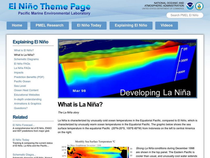
Noaa: Pmel: Noaa: What Is La Nina?
At this site from the Pacific Marine Environmental Laboratory, you can find out the characteristics of La Nina. You can find out about the lastest La Nina and the places it effected. Links are provided for additional information.
Other
National Pollutant Inventory: Background Information
This site focuses on water and air pollution in Australia, with a brief mention of sea breezes.
NOAA
Noaa: Pmel: El Nino Theme Page
The National Oceanic and Atmospheric Administration (NOAA) sponsors this El Nino and La Nina resource site that features current and historic information about these weather systems with diagrams.
Curated OER
Educational Technology Clearinghouse: Maps Etc: North America, 1868
A map from 1868 of North America, Central America, and the Caribbean showing the physical features of the region, vegetation types, ocean currents, temperatures, principal products and mineral deposits. Mountain chains are represented by...
Curated OER
Educational Technology Clearinghouse: Maps Etc: South America (Physical), 1868
A map from 1868 of South America showing the physical features of the region, vegetation types, ocean currents, temperatures, principal products and mineral deposits. Mountain chains are represented by lines of varying thickness, with...
Curated OER
Etc: Maps Etc: Physical and Political Map of Africa, 1879
Map of pre-colonial Africa, showing the predominately native countries and territories of the African continent in 1879. The counties include the Barbary States of Morocco, Algeria, Tunis, Tripoli and Fezzan, the Egyptian territories of...
Curated OER
Educational Technology Clearinghouse: Maps Etc: Europe (Physical), 1868
A map from 1868 of Europe, showing the physical features, climate, and commercial resources of the region. Mountain chains are represented by lines of varying thickness, with the broader the line, the greater the elevation. The highest...
Curated OER
Latitude: The Art and Science of 15th Century Navigation
This is a great site to read about how navigation began in Europe and what tools were used. Make sure to read the segments on coastal navigation, maps, and ocean currents.
Curated OER
How Accurately Did They Know the World in 1516?
This is a great site to read about how navigation began in Europe and what tools were used. Make sure to read the segments on coastal navigation, maps, and ocean currents.
Curated OER
Educational Technology Clearinghouse: Maps Etc: Asia (Physical), 1901
A map of Asia from 1901 showing the physical features of the region including mountain systems, plateaus, basins, plains, deserts, lakes, rivers, and coastal features and islands. The map shows major ocean currents, the mean annual...
Curated OER
Educational Technology Clearinghouse: Maps Etc: Asia (Physical), 1868
A map from 1868 of Asia showing physical features and natural resources of the region. The map shows political boundaries of the time, with capitals, major cities, and ports. The map shows mountain systems with black lines of variable...
Curated OER
Etc: Maps Etc: Physical, Political, and Economic Asia, 1872
A map of Asia from 1872, showing physical features including mountain systems, deserts, lakes, rivers with direction of flow, coastal features, and ocean currents, political boundaries and foreign possessions at the time, and commercial...
Curated OER
Etc: Maps Etc: Physical Features of Europe, 1901
A map from 1901 of Europe, showing the physical features of the region. This map is color-coded to show general elevations from sea level to over 6,500 feet, mountain systems, drainage divides, lakes, rivers, coastal features, and the...
Curated OER
Educational Technology Clearinghouse: Maps Etc: North America, 1901
A map from 1901 of North America, Central America, the Caribbean, and Greenland showing general land elevations, mountain systems, rivers, coastal features, and ocean currents. The map is color-coded to show land elevations ranging from...
Curated OER
Educational Technology Clearinghouse: Maps Etc: South America (Physical), 1901
A map from 1901 of South America showing the physical features of the region. This map is color-coded to show general elevations from sea level to over 6,500 feet, mountain systems, drainage divides, lakes, rivers, coastal features, and...
Curated OER
Educational Technology Clearinghouse: Maps Etc: United States, 1901
A map from 1901 of the United States showing the physical features of the area, including mountain systems and highlands, plateaus, basins, plains, lakes, rivers, and coastal features. The map is color-coded to show land elevations from...
Curated OER
Unesco: Iceland: Surtsey
Surtsey, a volcanic island approximately 32 km from the south coast of Iceland, is a new island formed by volcanic eruptions that took place from 1963 to 1967. It is all the more outstanding for having been protected since its birth,...
TED Talks
Ted: Ted Ed: Making Waves: The Power of Concentration Gradients
The constant motion of our oceans represents a vast and complicated system involving many different drivers. Sasha Wright explains the physics behind one of those drivers- the concentration gradient- and illustrates how our oceans are...
National Earth Science Teachers Association
Windows to the Universe: Earth's Oceans
Windows to the Universe provides a general overview of the importance of the oceans and seas to the Earth. Content includes information on how the oceans impact Earth's weather and contribute to the water cycle.
Science4Fun
Science4 Fun: Tsunamis
Learn the causes of tsunamis, what happens during one, where they appear, and survival tips.
Georgia Department of Education
Ga Virtual Learning: Plate Tectonics
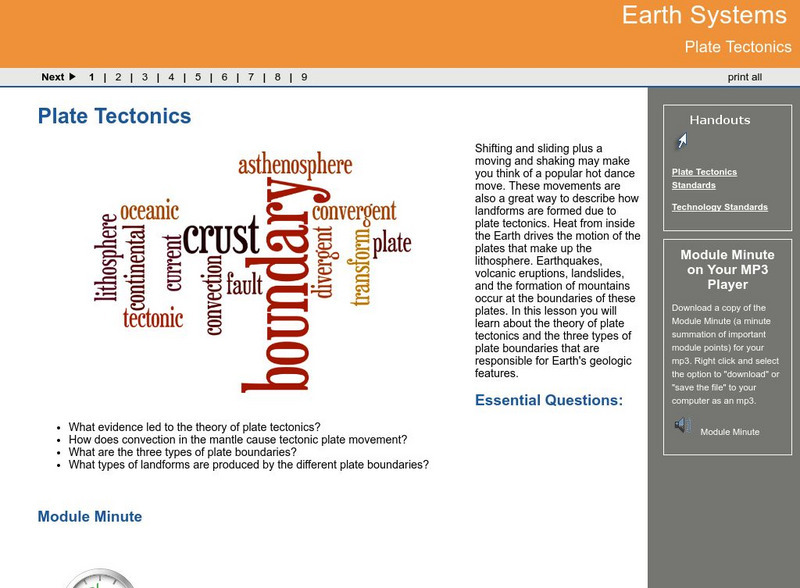
In this interactive lesson you will learn about the theory of plate tectonics and the three types of plate boundaries that are responsible for Earth's geologic features.
NOAA
Noaa: Pacific Marine Environmental Laboratory: What Is El Nino?
This page tells you what El Nino is, provides links to animations and videos on El Nino, explains how to recognize El Nino, and discusses the history of significant El Nino events.
NOAA
Noaa: Our Restless Tides
This site provides an excellent explanation of the nature of tides and how they are formed. The one shortcoming is the use of the fictional "centrifugal force", but this is commonly misused in literature.
NOAA
Noaa: National Weather Service: Oregon
This resource includes weather summaries, hourly weather reports, zone forecasts, weather watches, warnings and advisories etc.
Other popular searches
- Worksheets Ocean Currents
- Deep Ocean Currents
- Ocean Currents Pdf
- Ocean Currents and Climate
- Dangerous Ocean Currents
- Ocean Currents Climate
- Ocean Currents Events
- Ocean Currents Grade 11
- Weather Ocean Currents
- Madagascar Ocean Currents
- Measuring Ocean Currents
- Ocean Currents Pd


