Hi, what do you want to do?
TeachEngineering
Teach Engineering: Scaling the Map
Students learn how to determine map distances and areas using the map scale. They get a feel for how much an area represents on the map in relation to the size they are suggesting for their underground caverns to shelter the Alabraska...
Other
Centre for Topographic Information: Map Scale
This resource uses illustrations to demonstrate scale. Check out the links to the The National Topographic System of Canada and the Aerial Survey Data Base.
CK-12 Foundation
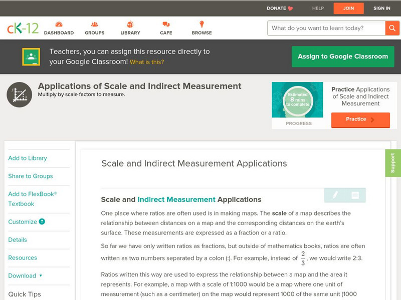
Ck 12: Algebra: Scale and Indirect Measurement Applications
[Free Registration/Login may be required to access all resource tools.] Use map scales and proportions to solve for unknown distances.
Sophia Learning
Sophia: Scale: Lesson 2
This lesson defines the term scale and scale model. It is 2 of 9 in the series titled "Scale."
Houghton Mifflin Harcourt
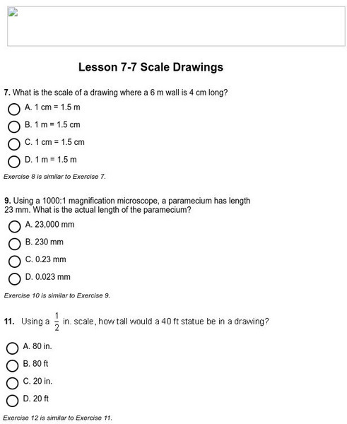
Holt, Rinehart and Winston: Homework Help Independent Practice: Scale Drawings
Get independent practice working with scale drawings. Each incorrect response gets a text box explanation and another try. Correct responses are confirmed.
Other
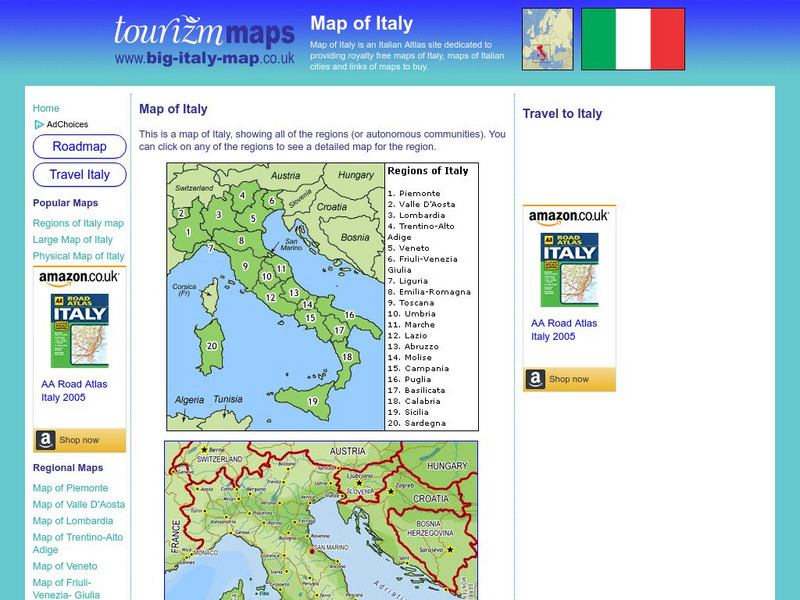
Tourizm Maps: Map of Italy
A map of Italy labeling the country's 20 different regions. Click on any region to get a full scale map of that specific area.
PBS
Pbs Learning Media: Aiming for the Basketball Hall of Fame
In this video segment from TV 411, two Atlanta Hawks players plan a driving route to reach the Basketball Hall of Fame. They use map scales to estimate their travel distances.
Columbia University
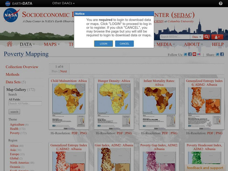
Nasa: Sedac: Poverty Mapping: Map Gallery
[Free Registration/Login Required] Included is a large array of maps showing poverty on a global scale as well as maps of individual countries. The maps show poverty measured in several different ways. PDF files may take awhile to download.
BBC
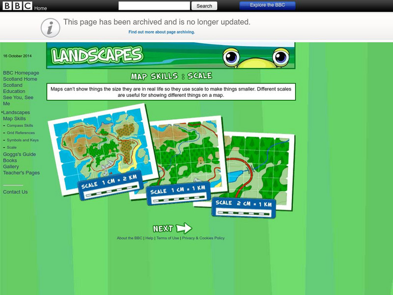
Bbc: Landscapes: Scotland: Map Skills: Scale
Lesson for elementary students on map skills uses a map of Scotland to teach about the concept of scale.
E-learning for Kids
E Learning for Kids: Math: Dance Performance: Position on a Map
This interactive website allows students to practice their map skills including scale factors on a map.
CK-12 Foundation
Ck 12: Measurement: Scale Factor to Find Actual Dimensions
[Free Registration/Login may be required to access all resource tools.] Use scale factor to find actual dimensions from scale models, drawings or maps.
CK-12 Foundation
Ck 12: Measurement: Unit Scale to Find Actual Dimensions
[Free Registration/Login may be required to access all resource tools.] Use unit scale to find actual dimensions from scale models, drawings or maps.
Science Education Resource Center at Carleton College
Serc: Mapping Your World
This activity serves as an introduction to mapping skills and the classroom. Young scholars will create a map of the classroom, analyze and determine qualities that make a clear, concise map, then create a database of qualities they will...
Sophia Learning
Sophia: Scale: Lesson 5
This lesson defines the term scale and scale model. It is 5 of 9 in the series titled "Scale."
University of Oregon
University of Oregon: Interactive Nolli Map of Rome: 1748 Map of Rome
Interactive Nolli Map introduces students to Rome and the structure of its urban form based on the work of eighteenth-century Italian architect Giambattista Nolli. Using the map engine, navigate through the city at a variety of scales,...
Curated OER
History Matters: Making Sense of Maps
Very detailed site from History Matters containing an explanation of how to read maps and understand them. An excellent resource for teachers. The site covers how to begin, how to use a scale, how to create a flat map for a round world,...
ClassFlow
Class Flow: Map Sense
[Free Registration/Login Required] This flipchart reviews the basic components of maps: legend, scale, Compass rose and labels. Clips from United Streaming video are included to illustrate these concepts. Student assessment and a student...
National Association of Geoscience Teachers
Nagt: Bringing the Geologic Time Scale Down to Earth in the Students' Backyard
This activity is specifically designed for a field trip to Drayton Hall, which is a historic plantation near Charleston, South Carolina. It does provide a model of how a similar activity could be designed for a local area, and there are...
National Association of Geoscience Teachers
Quaternary Glacio Fluvial History of the Upper Midwest Using Anaglyph Stereo Maps
Students examine the anaglyph stereo map and use textures to generate a surficial geology map of the Upper Midwest. They can then interpret the textures in terms of landforms, geomorphic features, and earth-surface processes, as well as...
Science Education Resource Center at Carleton College
Serc: Map and Compass Lab
Science Scope article presents an activity on topography and land masses that helps students learn about scientific inquiry. Students also practice making and interpreting scale drawings and learning about computation, estimation and new...
SMART Technologies
Smart: Final Project Map Skills
This lessons explores the different ways we can view our world along with the different parts of a map or globe.
University of California
Us Geological Survey: Cartogram Central
The USGS offers detailed information on Types of Cartograms, Congressional Districts, Software for Cartograms, Publications, and a Carto-Gallery.
Curated OER
Educational Technology Clearinghouse: Maps Etc: Pre Colonial Africa, 1872
A map of Africa showing the continent prior to the Berlin Conference of 1885, when the most powerful countries in Europe at the time convened to make their territorial claims on Africa and establish their colonial borders at the start of...
Other popular searches
- Using a Map Scale
- Map Scale Worksheets
- Map Scale Activities
- Geography Map Scale
- Map Scale Math Lessons
- Map Scale Math
- Geography Map Skills Scale
- Math Map Scales
- Map Scale Lesson Plans
- Using Map Scales
- Reading a Map Scale
- Using Map Scale Distance


